
Explore 200
Cotswold & Gloucestershire Walks.


Search ‘Gloucestershire Walks’ on your App Store

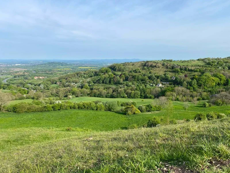
The best way to explore the glorious Gloucestershire and Cotswold countryside is on foot. Gloucestershire is blessed with some of the prettiest villages, best pubs and most picturesque walks in the country.
The Gloucestershire Walks app is like sat-nav…but for footpaths.
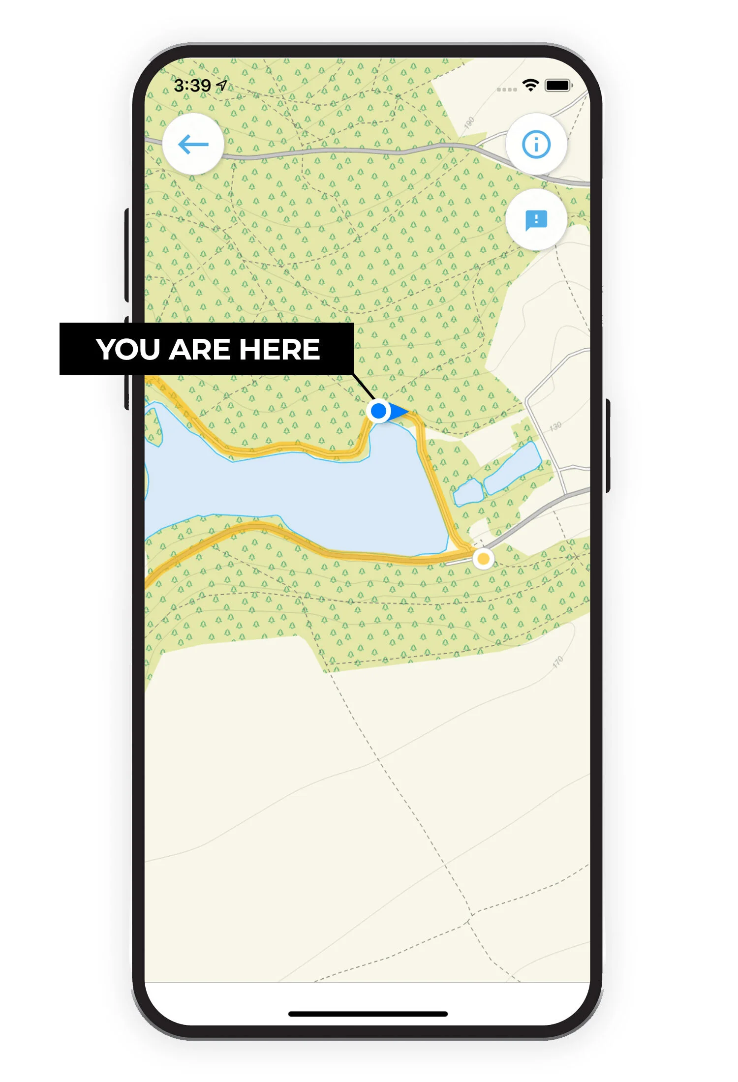
See your position on the route map as you walk.
Our Gloucestershire walks app makes it easy to discover and enjoy great walks, just choose a walk and follow the pointer on the map. The app uses your phone GPS to show your position on the route and gives you the confidence to explore new walks in Gloucestershire. So, if you are looking for your next walking adventure, download the app and start exploring.
Download the iPhone version here.
Download the Google Play version here.

Join our Gloucestershire Walks community.
facebook.com/gloucestershire.walks
Just ‘Like’ us on Facebook to get involved. Our growing community help us to discover the best Gloucestershire walks by suggesting, testing and giving feedback on new walks.
We love discovering new Gloucestershire walks and our growing community help us to discover the best walks by suggesting, testing and giving feedback on new walks so that we can research and share them in the app. Our users can rate each walk based on a number of factors such as how dog or buggy friendly it is, pub on route etc, so that you can find your perfect walks.
If you want to join our community, just head over to facebook.com/gloucestershire.walks and get involved!
Take a look at some of the Gloucestershire walks on the app…


And there are more walks at these locations:
Ampney Crucis
Barrow Wake
Beacon Hill
Bibury
Birdlip
Blockley
Bourton-on-the-hill
Bourton-on-the-Water
Brimpsfield
Bruce Trail
Castle Meads
Cerney Wick
Chedworth
Cirencester
Cleeve Hill
Coates
Cockleford
Coln St Aldwyns
Coopers Hill
Cranham
Crickley Hill
Daneway
Devils Chimney
Dursley
Ebrington
Edgeworth
Fairford
Frampton Mansell
Guiting Power
Haresfield Beacon
Hazleton
Leckhampton Hill
Leighterton
Little Solsbury Hill
May Hill
Mickleton
Miserden
Northleach
Old Sodbury
Ozleworth
Painswick Beacon
Pittville Park
Prestbury
Quenington
Rodborough Common
Sapperton
Selsley Common
Slad Valley
Snowshill
South Cerney
Stanton
Symonds Yat
Tarlton
Tewkesbury
Lower and Upper Slaughter
Tintern and Offas Dyke
Uley
Winchcombe
Woodchester Park
Wotton-under-Edge
Map image credit:
© OpenStreetMap contributors
Contains OS data © Crown copyright and database right 2021