Gloucestershire Walks

Top 5 walks around Stroud

Top 5 walks around Stroud, Gloucestershire

If you are looking for the best walks around Stroud, here is a list of our top 5 for you to explore.

Download the Gloucestershire Walks App to follow these routes with real-time GPS navigation.

Download on the App Store Get it on Google Play

On a computer? Scan the QR code with your phone's camera to get the Gloucestershire Walks app.

Frampton Mansell Walk, Gloucestershire
Walk distance
2½ miles
Time
1.5 hours
Route type
Circular

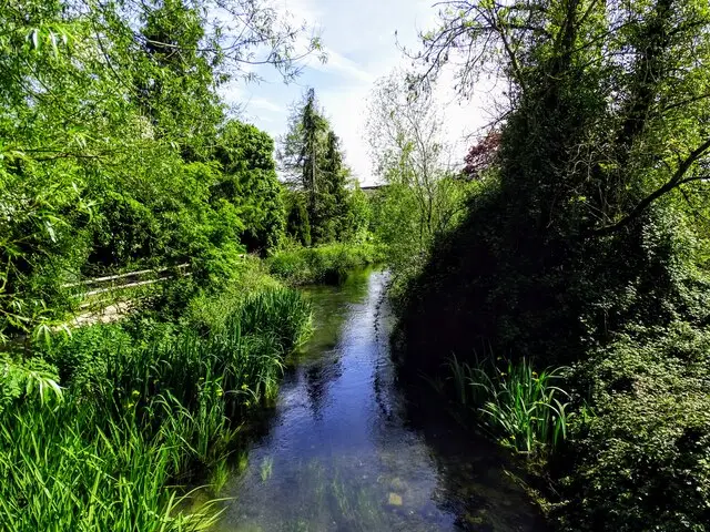
A lovely walk around the beautiful Cotswold countryside and village of Frampton Mansell which is 6 miles from Stroud. This walk includes a stroll alongside the old Severn and Sapperton Canal, River Frome, through the village and past the pub. This walk also includes crossing a railway track so please take care.

Refreshments: The Crown, Frampton Mansell

View the walk and route map

Walk details

Bruce Trail Walk

Bruce Trail Walk, Gloucestershire
Walk distance
6 miles
Time
3 hours
Route type
Circular

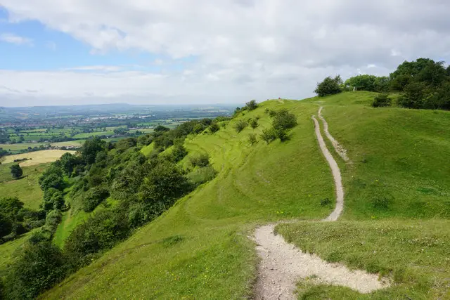
This is a substantial and challenging circular walk around the beautiful Cotswold countryside, about 5 miles from Stroud.

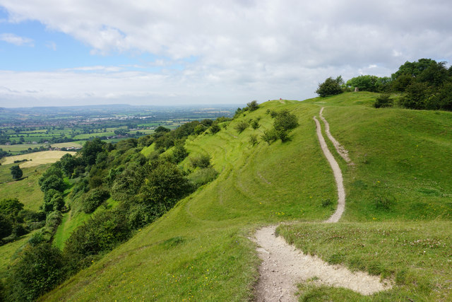
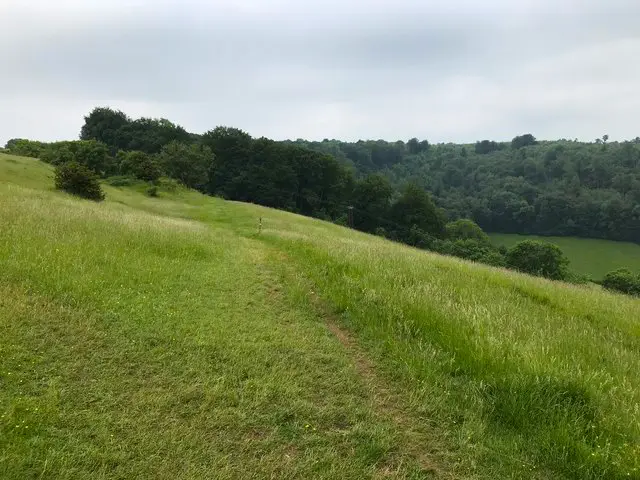
The trail is twinned with the Bruce Trail in Canada, hence the name and marks a bond of friendship and cooperation between the two areas. The Cotswold Way, woodlands, grasslands and commons feature in this walk and provide some stunning views particuarly over the Pitchcombe Valley, whilst Edge Common, a biological site of special interest provides you with the opportunity to see the rare Duke of Burgundy butterfly. There are also scenic views over the valley with views of the Malvern Hills and the Brecon Beacons on a good day.

The walk also passes Cromwell's Stone and leads you to the Haresfield Beacon which has yet more amazing views across the escarpment. There is a pub en route which you can get to by making a small detour across the road (please take care) for refreshments, there is some road walking during the course of the walk.

Refreshments: Edgemoor Inn, Painswick

View the walk and route map

Walk details

Daneway Walk

Daneway Walk, Gloucestershire
Walk distance
1½ miles
Time
1 hour
Route type
Circular

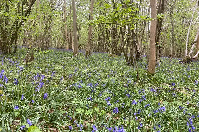
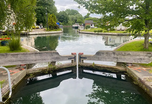
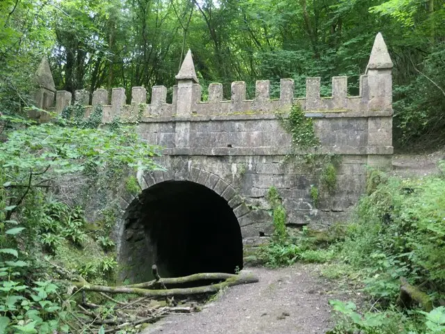
This is a lovely shorter version of the Sapperton walk which starts near the Daneway pub (approx 8 miles from Stroud). The walk takes you alongside the old Thames and Sapperton Canal and climbs up into Siccaridge Wood before looping back past the pub.

If you would like a longer walk, try the Sapperton walk on the app which is 3.25 miles long and includes two pubs on the route.

Refreshments: The Daneway Inn, Sapperton

View the walk and route map
Woodchester Park Walks, Gloucestershire
Walk distance
1½ - 7½ miles
Time
1 - 4 hours
Route type
Circular

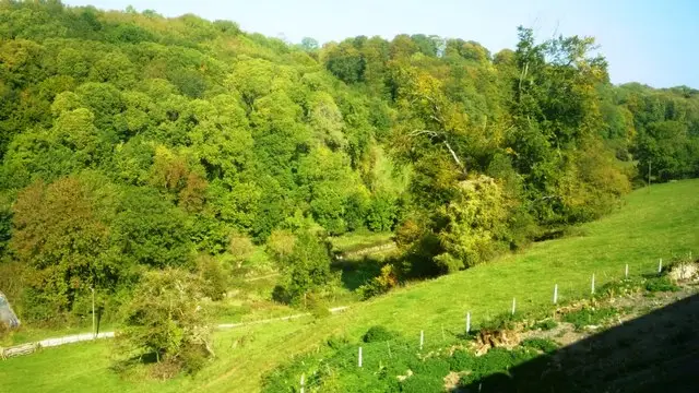
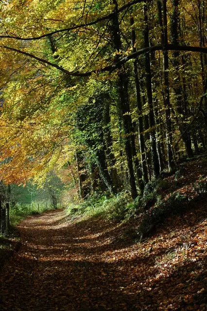
We have three Woodchester Park walks on the app, all starting from the National Trust car park (charges apply), which is about 6 miles from Stroud. The first follows the Blue woodland trail into the beautiful beech woodland. There is a gentle climb to the top of the trail before it brings you back down to Woodchester Mansion and back to the car park. The paths can be muddy in the Winter but there are some lovely views over the valley.

View the walks and route maps
Selsley Common Walks, Gloucestershire
Walk distance
2¼ - 4½ miles
Time
1 - 2.5 hours
Route type
Circular

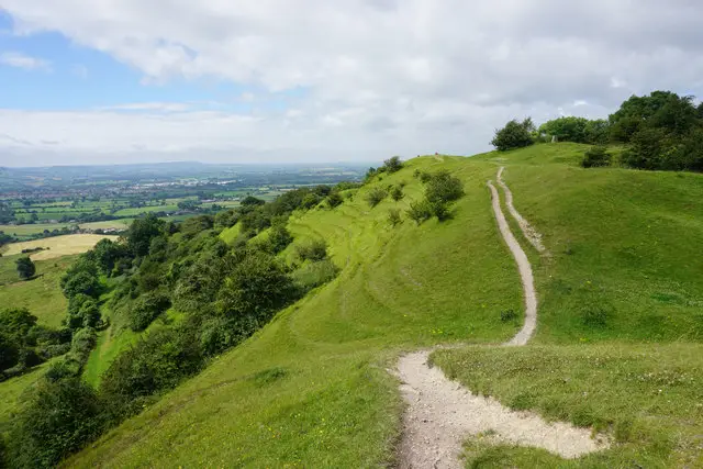
A lovely walk around Selsely common and through the woods (around 3 miles from Stroud). We also have a longer walk here but the first route is shorter and there is less woodland walking. It still includes some nice walking through the woodland and up onto the Selsley common area. There is a steep climb through the middle and other sections of this walk.

View the walks and route maps

Navigate the walks

Gloucestershire Walks App

Download the Gloucestershire Walks app

It's like sat-nav, but for footpaths.

Choose a walk and follow the pointer showing your live position on the route map, so you always know you're on the right path.

The app works without a phone signal, so you can keep following the route wherever the walk takes you.

Download the app

Download on the App Store Get it on Google Play

On a computer? Scan the QR code with your phone's camera to get the Gloucestershire Walks app.

Gloucestershire Walks app showing the walker's live position on a route map

Designed to be simple

  • Choose a walk and follow the pointer
  • See your live position on the route map
  • Works without a phone signal
  • Includes 200 Gloucestershire walks
  • Free one-month trial
  • Available for iPhone and Android

Explore the county

Gloucestershire walks map

Map data © OpenStreetMap contributors

Search Gloucestershire walks

See where the walks start, explore the area and tap a pin to find a route for your next adventure.

Search Gloucestershire walks
Expanded route map for Frampton Mansell Walk