

Walk information
Dursley Walk
- Walk distance
- 3½ miles
- Time
- 1.5 hours
- Route type
- Circular
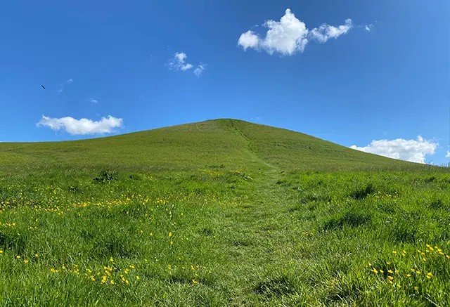
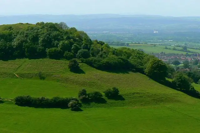
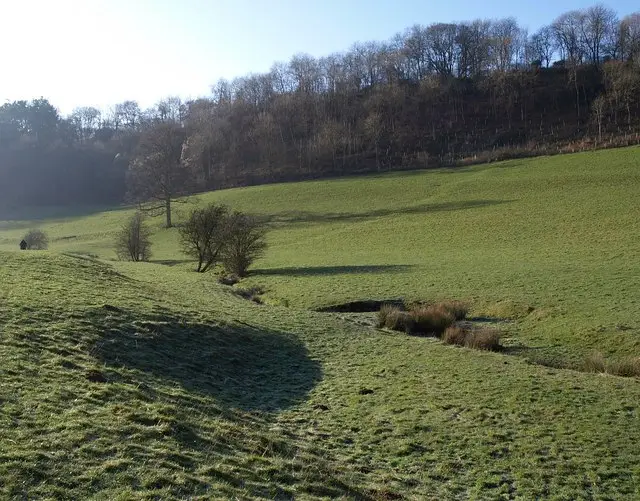
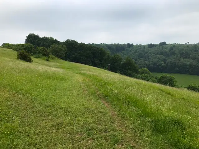
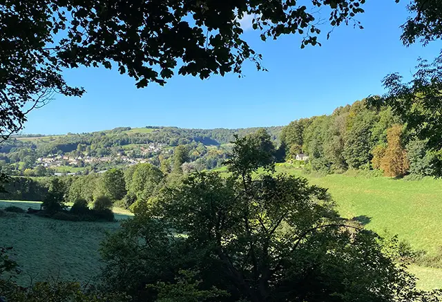
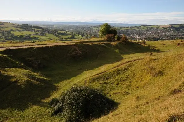
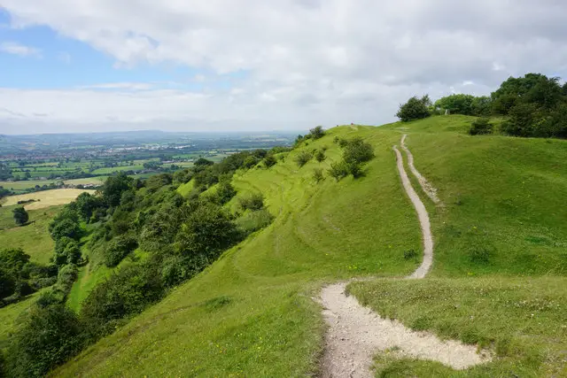
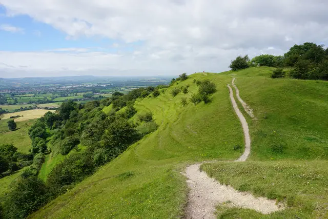
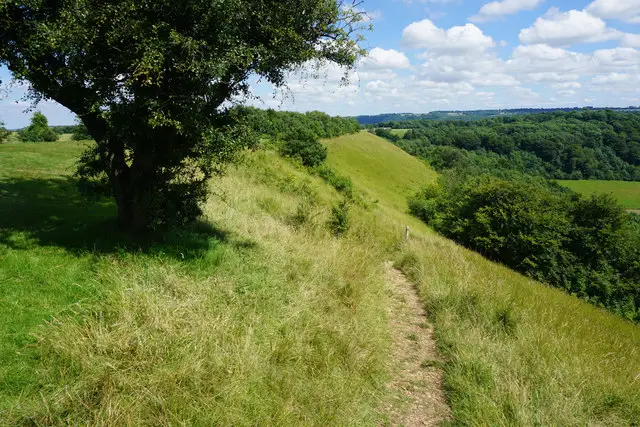
This delightful circular walk takes you around Stinchcombe Hill, with some beautiful views over the vilage of Stinchcombe and the Severn Vale.
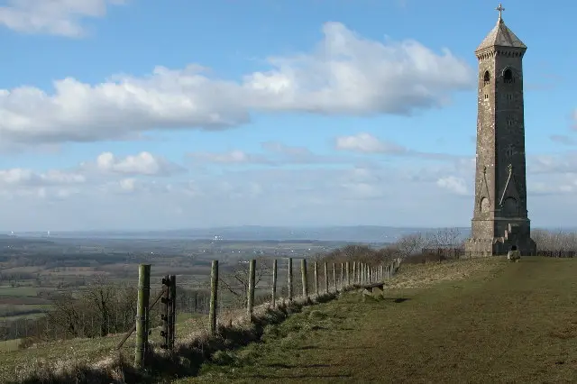
The countryside views from Drakestone Point are breathtaking. The walk does follow the edge of Stinchcombe Golf Course so just be aware of golfers!
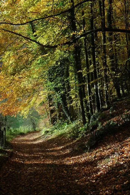
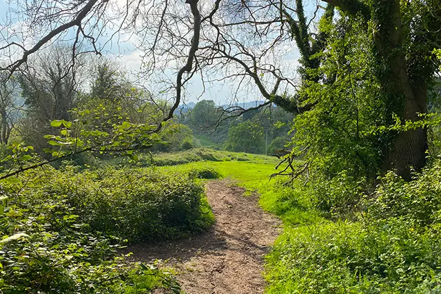
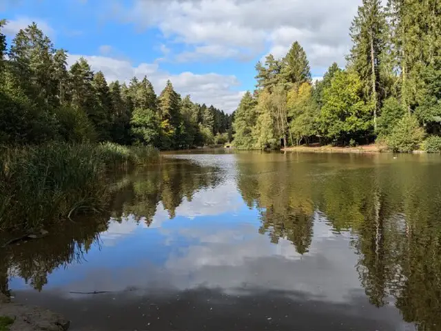
This interesting walk joins some of the Cotswold Way, meanders through pretty woodland and provides scenic views. There are steep inclines/declines during the walk and an option to detour to a nearby pub in Dursley.
Refreshments:
The Old Spot Inn, Dursley
Wotton-under-Edge
2.5 miles and 3.75 miles
Not far from Dursley is the lovely town of Wotton-under-Edge. This walk starts outside the town and gives you the option to explore the lovely surrounding countryside and then visit the town on your journey. The route takes you past Wotton Hill, along a section of the Cotswold Way and to the edge of Westridge Wood. There is some road walking, hill walking and inclines on this route, so some energy is required.
The other walk is similar to the previous one but extends further into Westridge Wood. As well as being able to explore the market town, this route will guide you along woodland paths where you will feel nature all around, past Brackenbury Ditches Hillfort and up Coombe Hill. There is some road walking and steep segments on this walk and it may get muddy at times.
Here are a few comments from people who have walked the Dursley walks on the app.
Dursley walk 1
Great for the dog, places to sit and enjoy the nice views. Golf club is open to the public for food and drink. The whole walk is pretty flat with very little climbing.
Dursley walk 1
Lovely walk with great views. Facilities at the golf course if you need them, but we didn’t visit ourselves. Our dog was on lead more than usual due to proximity to the golf course but still has a good sniff. Overall fairly level with reasonable paths, nice walk.