

Gloucestershire Walks

Leckhampton Hill Walks and Route Maps

Leckhampton Hill walk, Gloucestershire
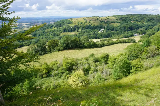
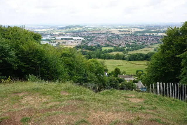
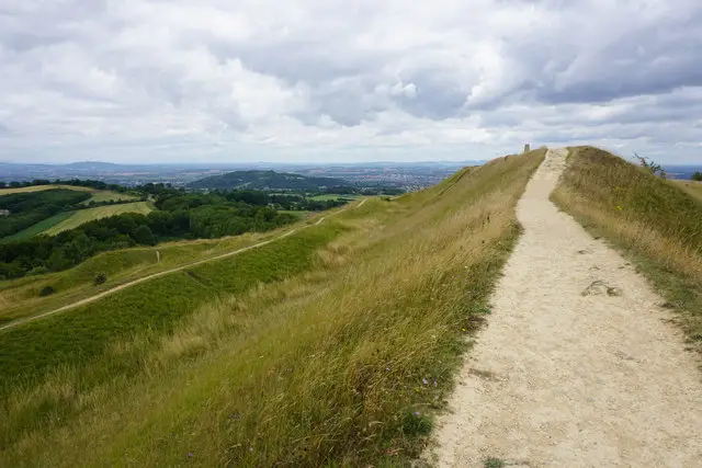
Leckhampton Hill · Photo: Tim Heaton

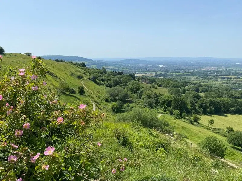
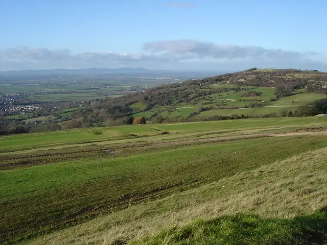
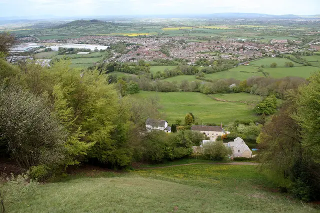
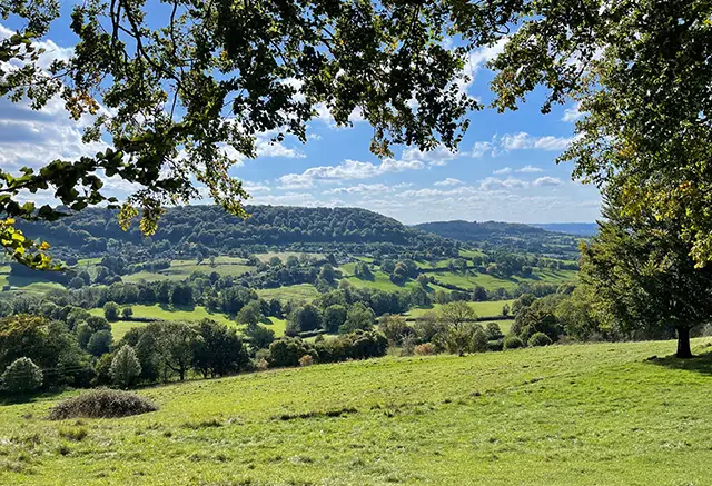
Leckhampton Hill is one of the most popular places to walk in Gloucestershire, offering wonderful views, scenic woodland trails and rewarding hilltop scenery overlooking Cheltenham.

These walks from Daisybank Road each explore a different side of Leckhampton Hill, from shorter circular routes through peaceful woodland to longer options taking in Charlton Kings Common and the striking Devils Chimney rock formation. While the walks vary in length, all offer beautiful views and a chance to enjoy this much-loved part of the Cotswolds. Please be aware that there are some steep and uneven sections, which can be slippery in places, so sturdy footwear is recommended.

Download the Gloucestershire Walks App to follow these routes with real-time GPS navigation.

Download on the App Store Get it on Google Play

On a computer? Scan the QR code with your phone's camera to get the Gloucestershire Walks app.

Walk information

Leckhampton Hill Walk 1

Walk distance
1 mile
Time
30 mins
Route type
Circular

This circular walk is the shortest of three walks from this location along Daisybank Road.

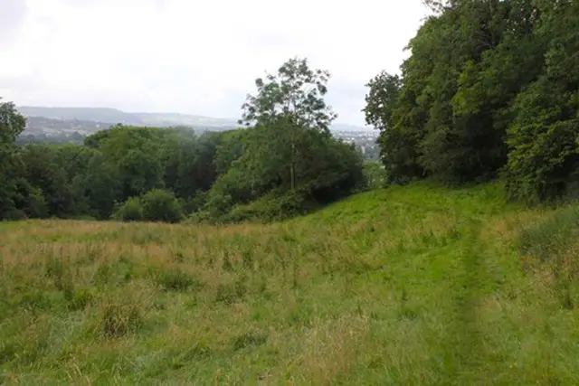
The route then takes you along a small section of road before taking you up Leckhampton Hill, through the woods to the top where you will join part of the Cotswold Way.

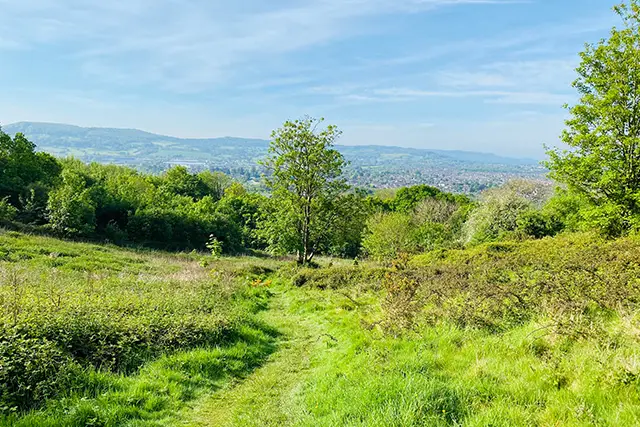
The views over Cheltenham from here are glorious. You will then follow one of the main routes back down the hill to the start, although you can walk this route in either direction. Please note that most of this walk is in woodland and it has steep, slippery parts in places so please be careful. The views are only when you get to the top.

Walk information

Leckhampton Hill Walk 2

Walk distance
2¼ miles
Time
1 hour
Route type
Circular

This is the second of three Leckhampton Hill walks which start on Daisybank Road and guide you along the main track up Leckhampton Hill.

The steep climb takes you through the scenic woods, bringing you out at the top where your hard work will be rewarded with some beautiful views over Cheltenham and beyond.

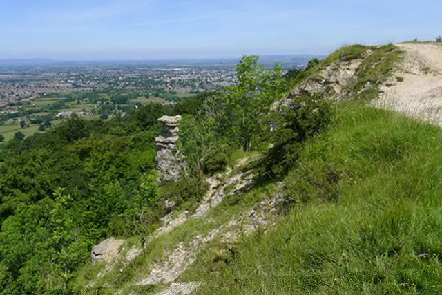
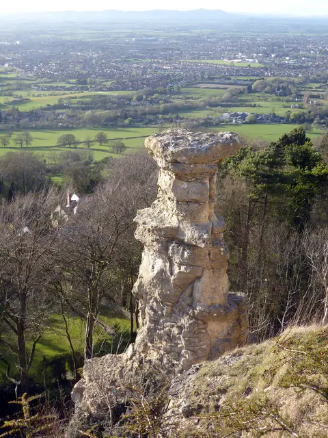
Take a moment to enjoy the views before heading around the farmland and then along the route to Devils Chimney, an unusual rock formation which gets its name from its peculiar shape.

Again, the views are incredible from here, you will then follow the track down Leckhampton Hill, meeting the main route you walked up. There are steep sections on this walk and loose stones, so please be careful.

Walk information

Leckhampton Hill Walk 3

Walk distance
3½ miles
Time
1.5 hours
Route type
Circular

This is a scenic and longer Leckhampton Hill walk with great views, woodland paths, some steep hill climbs and like the other Leckhampton Hill walks, it has amazing views for a vast majority of the route.

After leaving the car park and walking along Daisybank Road, you venture towards Charlton Kings Common and up onto the top of Leckhampton Hill.

The route will also take you to Devils Chimney which is an interesting limestone rock formation and lookout point which rewards you with wonderful views over Cheltenham and the surrounding area.

This walk has steep parts in places and uneven ground, please take care.

These Leckhampton Hill walks start at coordinates: 51.868544, -2.072733

Navigate the walks

Gloucestershire Walks App

Follow the Leckhampton Hill walks with GPS guidance

It's like sat-nav, but for footpaths.

Choose a walk and follow the pointer showing your live position on the route map, so you always know you're on the right path.

The app works without a phone signal, so you can keep following the route wherever the walk takes you.

Download the app

Download on the App Store Get it on Google Play

On a computer? Scan the QR code with your phone's camera to get the Gloucestershire Walks app.

Gloucestershire Walks app showing the walker's live position on a route map

Designed to be simple

  • Choose a walk and follow the pointer
  • See your live position on the route map
  • Works without a phone signal
  • Includes 200 Gloucestershire walks
  • Free one-month trial
  • Available for iPhone and Android

Explore the area

Nearby walks

Explore the county

Gloucestershire walks map

Map data © OpenStreetMap contributors

Search Gloucestershire walks

See where the walks start, explore the area and tap a pin to find a route for your next adventure.

Search Gloucestershire walks
Expanded route map for Leckhampton Hill Walk 2, a 2.25 mile circular walk in Gloucestershire