

Gloucestershire Walks

Symonds Yat Circular Walks and Map

Symonds Yat walk, Gloucestershire
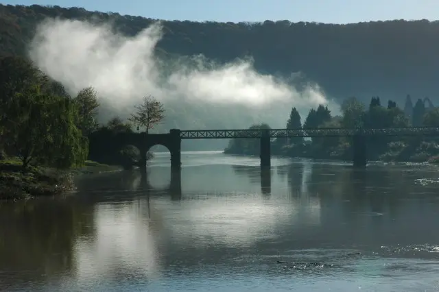
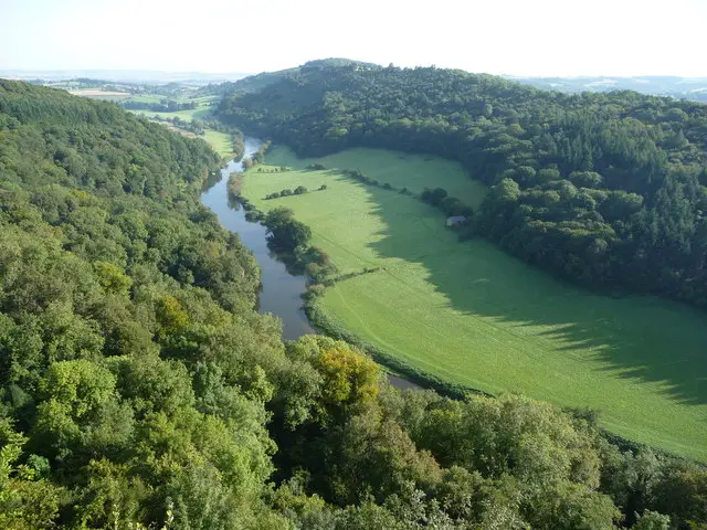
Symonds Yat · Photo: Jeremy Bolwell

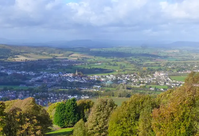
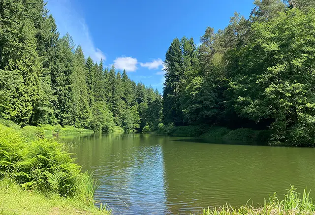
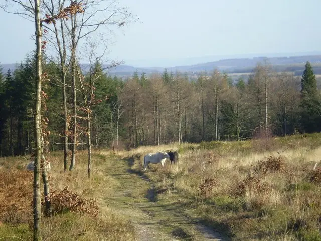
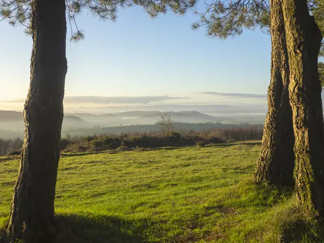
Symonds Yat is in Herefordshire and close the Gloucestershire border, so it’s well worth the visit if you like stunning walks with spectacular views. Symonds Yat is famous for it’s glorious panoramic scenery from viewpoints like Symonds Yat Rock where you can see for miles along the River Wye and across the Wye Valley.

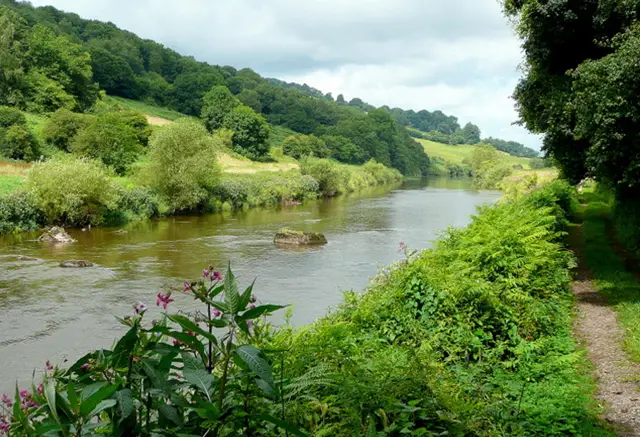
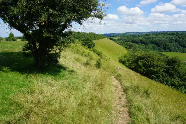
The terrain here can be steep and challenging and we have two Symonds Yat walks on the app with one being more strenuous than the other. On these walks you can enjoy shaded woodland paths, an abundance of wildlife, dramatic cliffs rising out of the forest and the pretty River Wye winding through the valley. There is even a great pub on these walks, so after you’ve finished your energetic trek, put your feet up and enjoy a refreshing drink while you soak up the atmosphere and admire the beautiful scenery.

Download the Gloucestershire Walks App to follow these routes with real-time GPS navigation.

Download on the App Store Get it on Google Play

On a computer? Scan the QR code with your phone's camera to get the Gloucestershire Walks app.

Symonds Yat walk 01

Symonds Yat Walk 2

Walk distance
1¼ miles
Time
30 mins
Route type
Circular

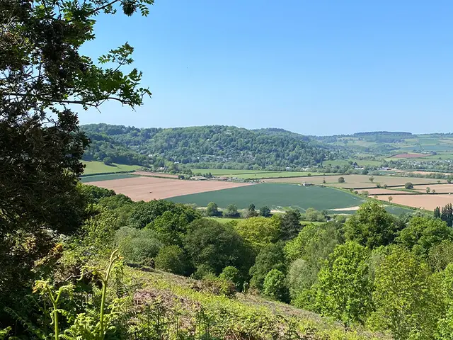
If you are looking for a walk with spectacular views then this hike to Symonds Yat Rock is the one for you. Although it's a relatively short route, you will need plenty of energy. This walk climbs through woodland until you reach Symonds Yat Rock where you will rewarded with the world famous views along the Wye Valley and River Wye. There is a cafe near the top and when you return we have added a short detour to the Saracens Head Inn which has lovely views over the river.

Symonds Yat walk 02

Symonds Yat Walk 1

Walk distance
2¾ miles
Time
1.5 hours
Route type
Circular

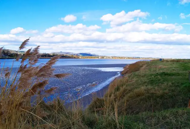
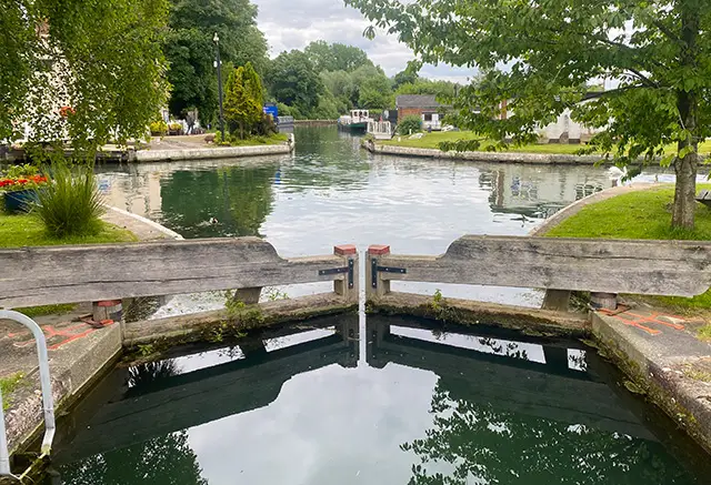
This is a beautiful walk through the Wye Valley at Symonds Yat. It's just over the border into Herefordshire and worth the trip. This route requires crossing the River Wye on a small hand ferry from the Saracens Head Pub (there is a small charge). Please check with the pub beforehand to make sure the ferry is running and it's best to walk anti-clockwise to ensure the ferry is operating. There are many wonderful Symonds Yat walks and this is one of the easier ones. This circular route offers spectacular scenery and takes you through the pretty Wye Valley, along the river, over the bridge and through woodland. There is also the added benefit of a Pub which overlooks the river.

Refreshments: The Saracens Head, Symonds Yat

These Symonds Yat walks start at coordinates: 51.838579, -2.638615

Navigate the walks

Gloucestershire Walks App

Follow the Symonds Yat walks with GPS guidance

It's like sat-nav, but for footpaths.

Choose a walk and follow the pointer showing your live position on the route map, so you always know you're on the right path.

The app works without a phone signal, so you can keep following the route wherever the walk takes you.

Download the app

Download on the App Store Get it on Google Play

On a computer? Scan the QR code with your phone's camera to get the Gloucestershire Walks app.

Gloucestershire Walks app showing the walker's live position on a route map

Designed to be simple

  • Choose a walk and follow the pointer
  • See your live position on the route map
  • Works without a phone signal
  • Includes 200 Gloucestershire walks
  • Free one-month trial
  • Available for iPhone and Android

Explore the area

Nearby walks

Explore the county

Gloucestershire walks map

Map data © OpenStreetMap contributors

Search Gloucestershire walks

See where the walks start, explore the area and tap a pin to find a route for your next adventure.

Search Gloucestershire walks
Expanded route map for Symonds Yat Walk 2, a 1.25 mile circular walk in Gloucestershire