

Gloucestershire Walks

Woodchester Park Walks

Woodchester Park walk, Gloucestershire
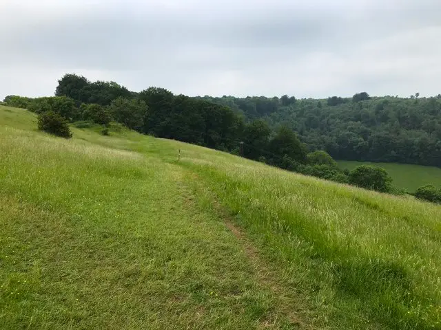
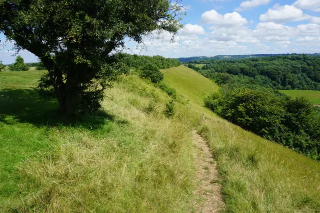
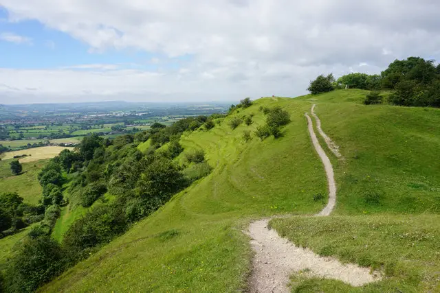
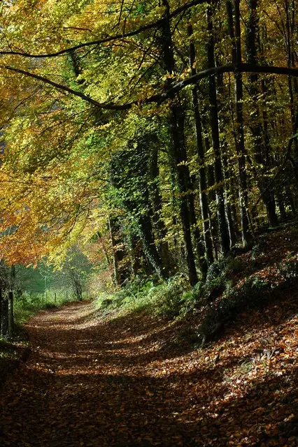
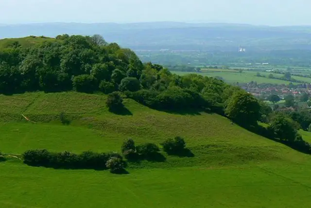
Woodchester Park · Photo: Philip Halling

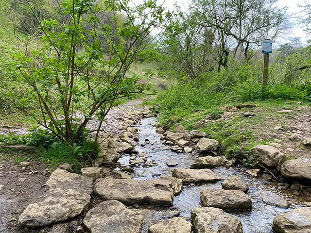
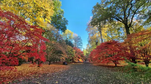
Here are 3 walks at the wonderful Woodchester Park which is owned by The National Trust. These walks guide you along woodland paths, through the valley and parkland, past Woodchester Mansion and around the lakes.

Download the Gloucestershire Walks App to follow these routes with real-time GPS navigation.

Download on the App Store Get it on Google Play

On a computer? Scan the QR code with your phone's camera to get the Gloucestershire Walks app.

Woodchester Park walk 01

Woodchester Park blue trail

Walk distance
1½ miles
Time
1 hour
Route type
Circular

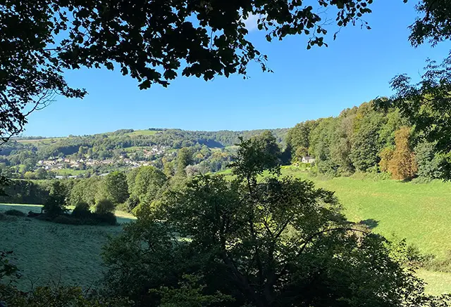
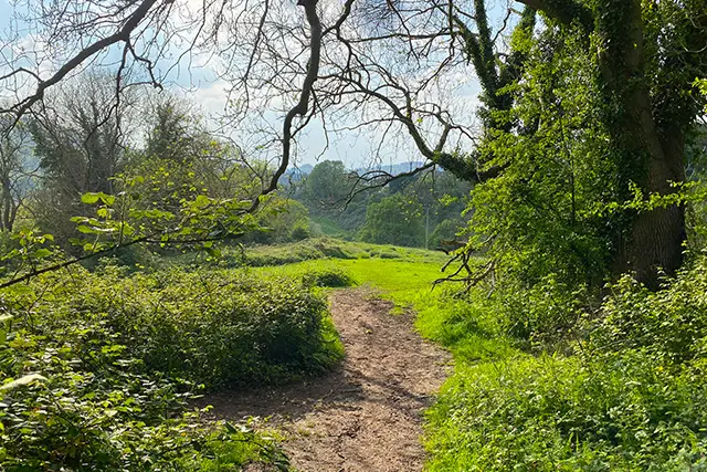
This is the shortest Woodchester Park from the National Trust car park, following the Blue woodland trail into the beautiful beech woodland. There is a gentle climb to the top of the trail before it brings you back down to Woodchester Mansion and back to the car park. The paths can be muddy in the Winter but there are some lovely views over the valley.
Woodchester Park walk 02

Woodchester Park orange trail

Walk distance
4 miles
Time
2 hours
Route type
Circular

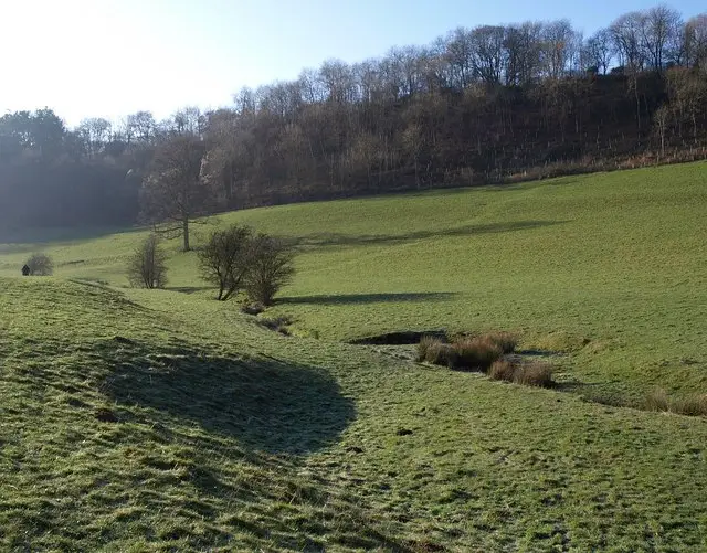
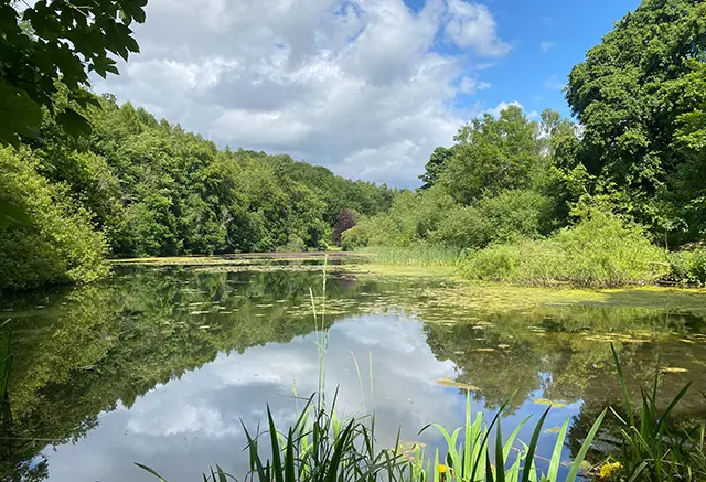
This Woodchester Park walk starts at the National Trust car park and takes you along the Orange route which starts with a walk along wooded valley paths and past the impressive Woodchester Mansion and parkland. The walk also passes the old boathouse and follows the route around the lakes before heading back through the woodland to the car park. There are some beautiful views during the course of the walk. There are some steep sections and the paths may become muddy in bad weather.

Woodchester Park walk 03

Woodchester Park red trail

Walk distance
7½ miles
Time
4 hours
Route type
Circular

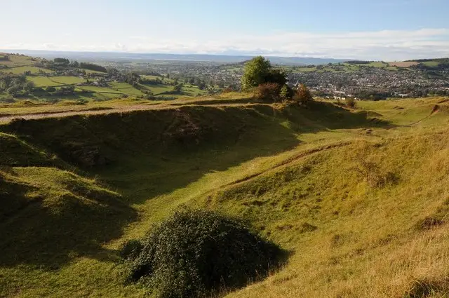
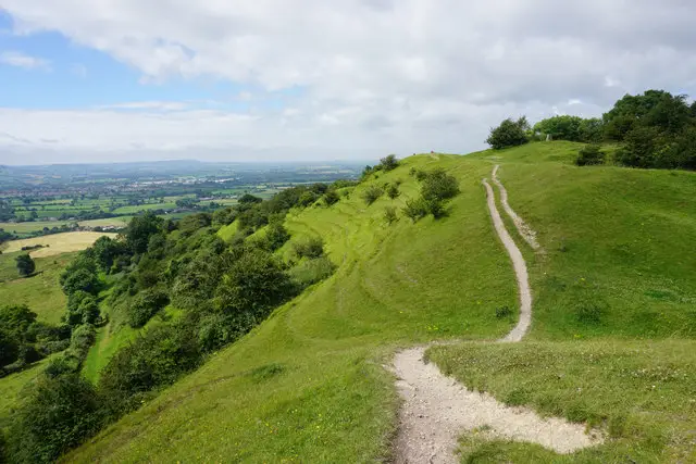
This is the longest Woodchester Park walk and it's a substantial walk around the Red route. It starts with a gentle climb through the beech woodland forest, passing Woodchester Manor, parkland and boathouse. The walk takes you around the ponds and across pasture and further woodlands, providing some beautiful views across the valley. The walk is steep in places and the woodland trails can become muddy.

These Woodchester Park walks start at coordinates: 51.711056, -2.292605

Navigate the walks

Gloucestershire Walks App

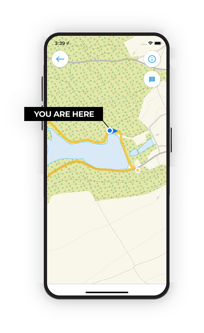
Follow the Woodchester Park walks with GPS guidance

It's like sat-nav, but for footpaths.

Choose a walk and follow the pointer showing your live position on the route map, so you always know you're on the right path.

The app works without a phone signal, so you can keep following the route wherever the walk takes you.

Download the app

Download on the App Store Get it on Google Play

On a computer? Scan the QR code with your phone's camera to get the Gloucestershire Walks app.

Gloucestershire Walks app showing the walker's live position on a route map

Designed to be simple

  • Choose a walk and follow the pointer
  • See your live position on the route map
  • Works without a phone signal
  • Includes 200 Gloucestershire walks
  • Free one-month trial
  • Available for iPhone and Android

Explore the area

Nearby walks

Explore the county

Gloucestershire walks map

Map data © OpenStreetMap contributors

Search Gloucestershire walks

See where the walks start, explore the area and tap a pin to find a route for your next adventure.

Search Gloucestershire walks
Expanded route map for Woodchester Park orange trail, a 4 mile circular walk in Gloucestershire