Kinver Edge Walk and Route Map
Kinver Edge is a high heathland and woodland in South Staffordshire that’s also home to the famous Rock Houses and an iron age hill fort. There are some steep inclines on these walks but you will be rewarded with some lovely views. We have 3 Kinver Edge walks on the app, download the Staffordshire Walks app to see your position on each route map as you walk.


150+ walks in Staffordshire. Download the app to see your position on the map as you walk.

Photo © Roger Kidd (cc-by-sa/2.0)
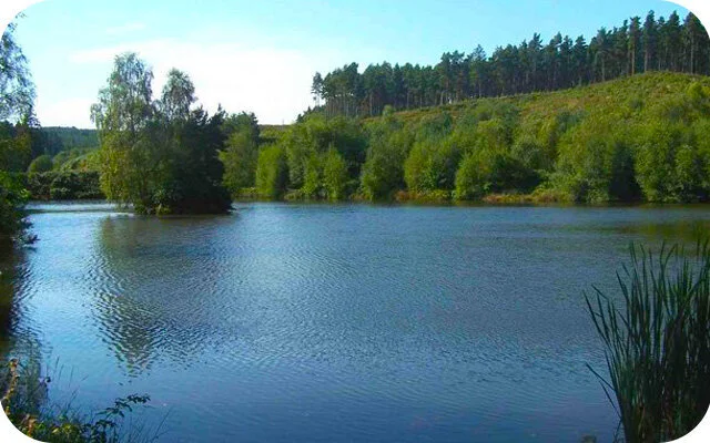
Kinver Edge
Kinver Edge walk 1
1.25 miles
The first route is a lovely circular adventure that takes you through pretty woodland near Kinver Edge. As mainly well trodden tracks, these heathland trails allow to meander through the woods enjoying its abundance of wildlife. There are also some steep hills to climb at times on this route, but you'll be rewarded with a wonderful viewpoint for your efforts.
Kinver Edge walk 2
2.5 miles
The second walk at Kinver Edge takes you further into the woods so that you can explore more of this wonderful natural environment and habitat for wildlife. The route continues until you reach Nanny's Rock and then brings you back through the woods, past the iron age hill fort and back to the start. As with the first route, there are some very steep inclines on this walk, but the viewpoint is well worth the effort.
Kinver Edge walk 3
3.75 miles
This final route option is a further extension again on the first two routes. It still of course enjoys the breathtaking viewpoint from the other routes, but it then takes you much deeper again into the Kingswood Forest Park. As with the other routes from here, there are some steep hills to climb and descents on this walk, so please go prepared with the energy you need for the workout and of course the appropriate food, water and clothing.
Kinver Edge Walk Route Map
Download the Staffordshire Walks app to see your position on the map as you walk.

© OpenStreetMap contributors
Contains OS data © Crown copyright and database right 2021
More walks…