Croxden Abbey Walk and Map
The 12th century Croxden Abbey used to be the home to Cistercian monks. We have two walks that start from outside Croxden Abbey of 2.5 miles and 7.25 miles. Take a look at the map below to see the route for walk 1 and download the Staffordshire Walks app to see your position on the map as you walk.


150+ walks in Staffordshire. Download the app to see your position on the map as you walk.
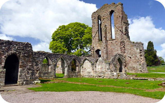
Photo © Graham Hogg (cc-by-sa/2.0)
Croxden Abbey
Croxden Abbey walk 1
2.5 miles
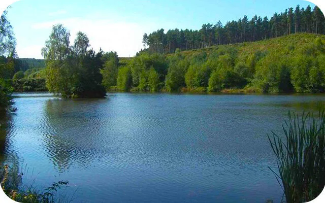
This first walk is a pretty family-friendly countryside stroll that starts outside Croxden Abbey. If you walk clockwise, the route takes you across fields and climbs through the Staffordshire countryside until you reach the village of Hollington. There is then a small amount of road walking through the village before you walk though more open countryside and then eventually reach a small detour to a great pub with lovely views from the beer garden.
Croxden Abbey walk 2
7.25 miles
This second route option is an epic adventure in the undulating countryside around Croxden Abbey. If you head anticlockwise, you'll enjoy a long and hilly walk with lots of peace and quiet as you walk through open farmland with lots of lovely views from the peaks of this hilly landscape. There is a section where you walk through a small golf course, so please be careful here and look out for flying balls! There is also a little detour to a lovely pub towards the end of the walk where you can enjoy a beer garden with great views.
Croxden Abbey Walk Route Map (walk 1)
Download the Staffordshire Walks app to see your position on the map as you walk.
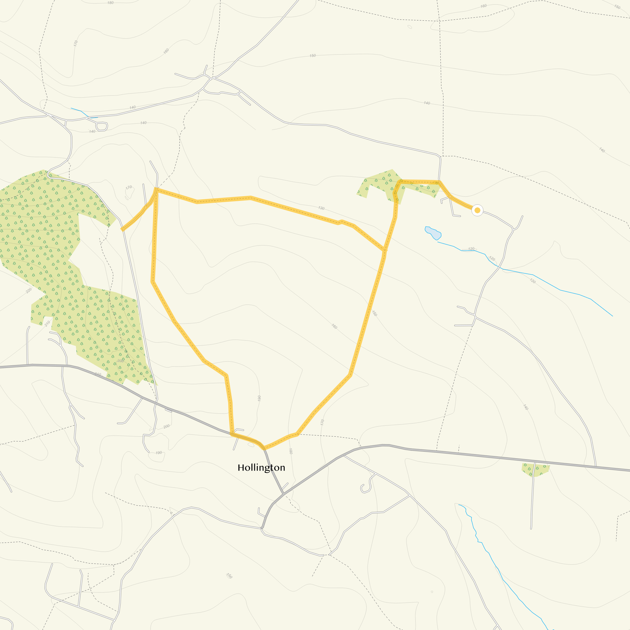
© OpenStreetMap contributors
Contains OS data © Crown copyright and database right 2021