

Staffordshire Walks

Whitfield Valley Nature Reserve

Whitfield Valley walk, Staffordshire
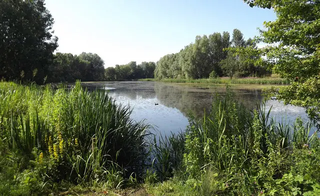
Whitfield Valley · Photo: Russ

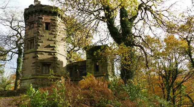
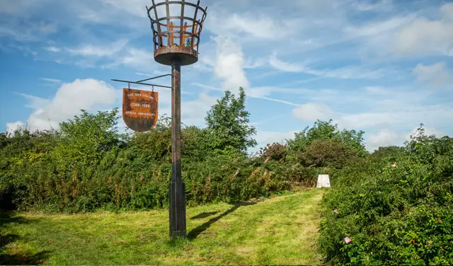
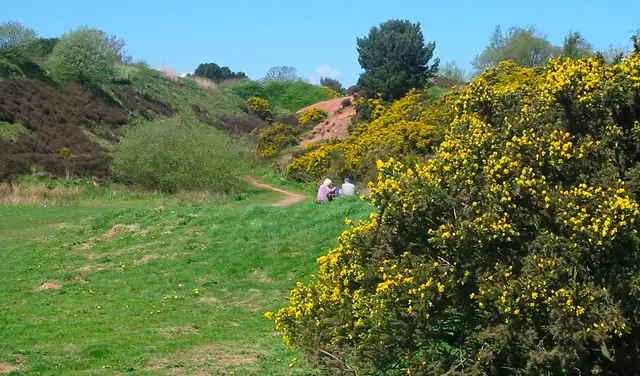
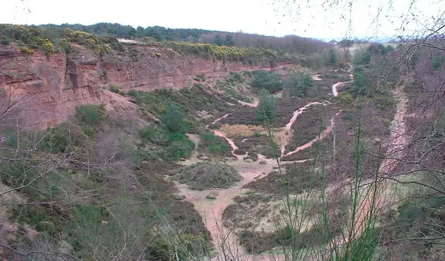
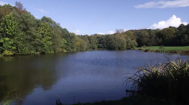
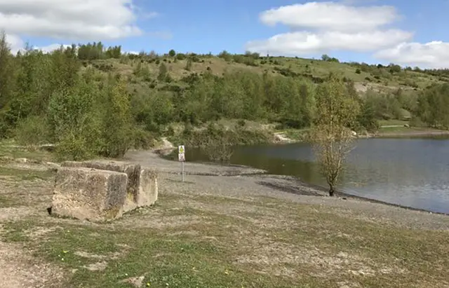
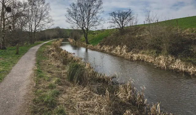
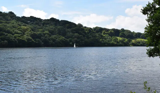
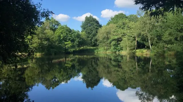
Whitfield Valley Nature Reserve is one of the largest reserves in Stoke-on-Trent and includes a wide variety of wildlife and habitats.

Here are 4 Whitfield Valley walks which can be found on the Staffordshire Walks App.

Download the Staffordshire Walks App to follow this route with real-time GPS navigation.

Download on the App Store Get it on Google Play

On a computer? Scan the QR code with your phone's camera to get the Staffordshire Walks app.

Walk information

Whitfield Valley Nature Reserve


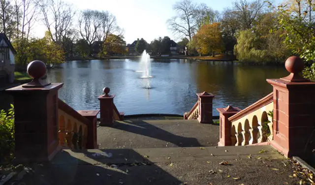
The first walk option (0.5 miles) is a nice short family-friendly stroll around the pretty Ford Green Lake with flat solid paths for all abilities and open parkland.

The second walk (1.5 miles) is also a lovely short wander around Whitfield Valley Nature Reserve that enjoys the lake, but this route extends the walk a bit further and takes you deeper into the reserve. This walk also has flat and solid paths throughout, so it is a suitable stroll for all abilities.

The third route option (3.25 miles) still enjoys everything in the Whitfield Valley Nature Reserve as with the second route. However, this route also takes you on an adventure into the adjoining park - the Chatterley Whitfield Heritage Park - for a pleasant stroll around the base of the big hill there. This route is again on hard level paths throughout with only mild climbs, so it's suitable for all abilities.

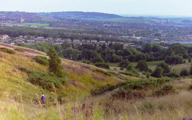
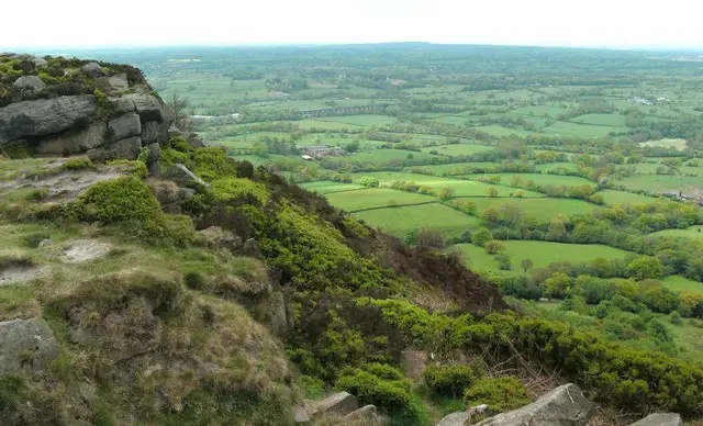
The final walk option (3.75 miles) also fully explores the Whitfield Valley Nature Reserve and the Chatterley Whitfield Heritage Park like the third route. However, this option ventures off of the hard surface paths at times and also includes a moderate climb to the top of the big hill in the centre of Chatterley Park where you can enjoy some wonderful views as a reward for your efforts.

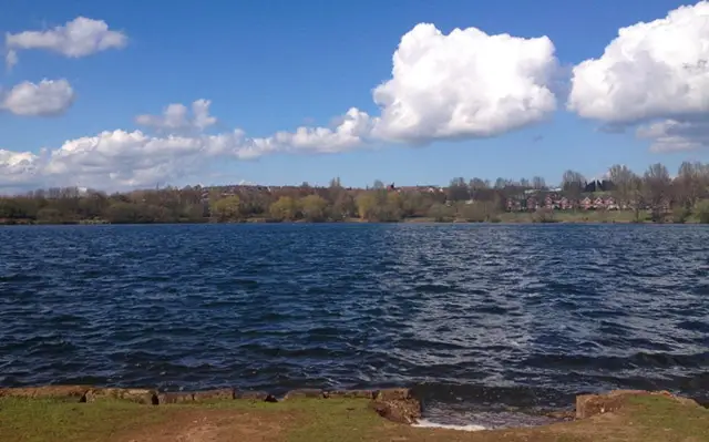
This Whitfield Valley walk starts at coordinates: 53.05497, -2.168984

Navigate the walks

Staffordshire Walks App

Follow the Whitfield Valley walk with GPS guidance

It's like sat-nav, but for footpaths.

Choose a walk and follow the pointer showing your live position on the route map, so you always know you're on the right path.

The app works without a phone signal, so you can keep following the route wherever the walk takes you.

Download the app

Download on the App Store Get it on Google Play

On a computer? Scan the QR code with your phone's camera to get the Staffordshire Walks app.

Staffordshire Walks app showing the walker's live position on a route map

Designed to be simple

  • Choose a walk and follow the pointer
  • See your live position on the route map
  • Works without a phone signal
  • Includes 150+ Staffordshire walks
  • Free one-month trial
  • Available for iPhone and Android

Explore the area

Nearby walks

Explore the county

Staffordshire walks map

Map data © OpenStreetMap contributors

Search Staffordshire walks

See where the walks start, explore the area and tap a pin to find a route for your next adventure.

Search Staffordshire walks
Expanded route map for Whitfield Valley Nature Reserve, a 0.5 mile circular walk in Staffordshire