Brocton Coppice & Abraham's Valley Cannock Chase Walk and Map
We have three walks starting from the Cannock Chase Brocton Coppice car park ranging from 1.25 miles to 5.25 miles. Take a look at the map below to see the longer route and download the Staffordshire Walks app which will show your position on the map as you walk.


150+ walks in Staffordshire. Download the app to see your position on the map as you walk.

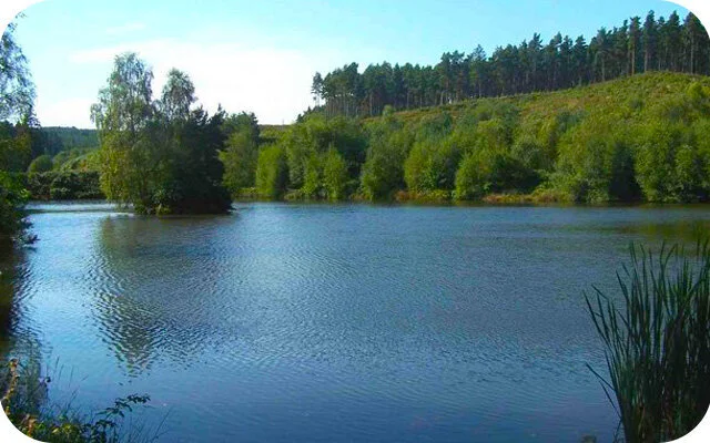
Photo © Anthony Parkes (cc-by-sa/2.0)
Brocton Coppice & Abraham's Valley
We have three walks in this area of Cannock Chase on the app and we have shown the map below for the third route which is 5.25 miles in length.
This longer route starts from the Brocton Coppice car park and provides a more varied and more strenuous version of the Cannock Chase Stepping Stones walk. This walk is shown on the route map below and instead of following the brook around when you are in Sherbrook Valley, you cross the stepping stones and then climb back up the other side and over into Abraham's Valley where you will enjoy more open countryside and woodland paths before crossing back over the brook and up through Coppice Hill, back to the car park.
Brocton Coppice & Abraham's Valley Cannock Chase Walk Map
Download the Staffordshire Walks app to see your position on the map as you walk.

© OpenStreetMap contributors
Contains OS data © Crown copyright and database right 2021