

Staffordshire Walks

Stepping Stones Cannock Chase Walk and Map

Stepping Stones Cannock Chase Walk and Map, Staffordshire

If you are looking for a lovely walk around Cannock Chase and over the Stepping Stones, here is a walk and route map for you to enjoy. For more Cannock Chase walks, take a look at the Staffordshire Walks app which has over 150 walks in Staffordshire to discover.

Download the Staffordshire Walks App to follow these routes with real-time GPS navigation.

Download on the App Store Get it on Google Play

On a computer? Scan the QR code with your phone's camera to get the Staffordshire Walks app.

Walk distance
2¾ miles
Time
1.5 hours
Route type
Circular

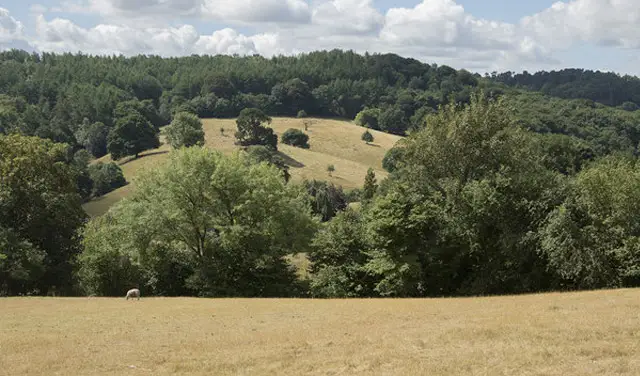
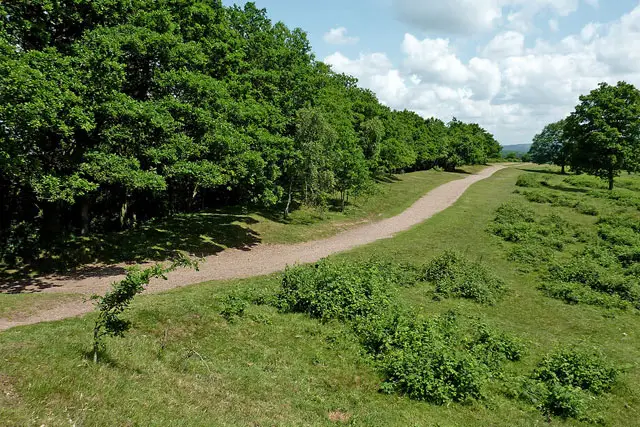
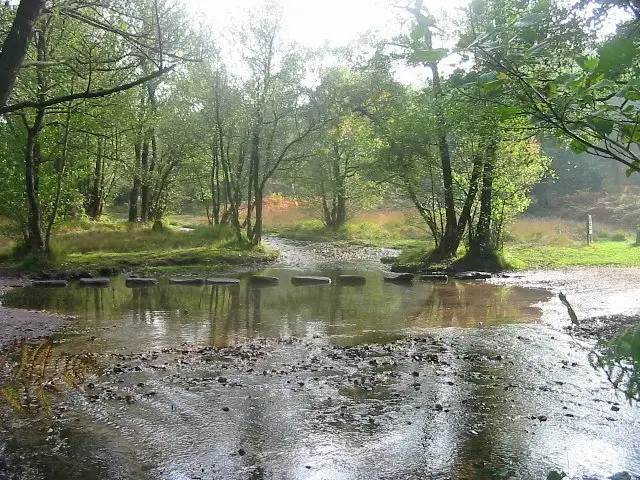
We have 2 walks that take you past the Stepping Stones, Cannock Chase. Both walks start from the Brocton Coppice car park and the first takes you through beautiful undulating heathland down into Sherbrook Valley woodland. As you wander beside the pretty Sher Brook, you can enjoy the wonderful stream, stepping stones and natural surroundings before climbing back up Coppice hill to the car park.

The second route is a longer, more varied and more strenuous version of the first walk option around Cannock Chase. Instead of following the brook around when you are in Sherbrook Valley woodland, you cross the stepping stones and then climb back up the other side and over into Abraham's Valley where you will enjoy more open countryside and woodland paths before crossing back over the brook and up through Coppice Hill to the car park.

View the walk and route map

Navigate the walks

Staffordshire Walks App

Download the Staffordshire Walks app

It's like sat-nav, but for footpaths.

Choose a walk and follow the pointer showing your live position on the route map, so you always know you're on the right path.

The app works without a phone signal, so you can keep following the route wherever the walk takes you.

Download the app

Download on the App Store Get it on Google Play

On a computer? Scan the QR code with your phone's camera to get the Staffordshire Walks app.

Staffordshire Walks app showing the walker's live position on a route map

Designed to be simple

  • Choose a walk and follow the pointer
  • See your live position on the route map
  • Works without a phone signal
  • Includes 150+ Staffordshire walks
  • Free one-month trial
  • Available for iPhone and Android

Explore the county

Staffordshire walks map

Map data © OpenStreetMap contributors

Search Staffordshire walks

See where the walks start, explore the area and tap a pin to find a route for your next adventure.

Search Staffordshire walks
Expanded route map for Stepping Stones Cannock Chase