Dimmingsdale Valley Walk and Map
We have four Dimmingsdale walks in Staffordshire ranging from 1.25 miles to 4.25 miles. Take a look at the map below to see one of the routes and download the Staffordshire Walks app to see your position on the map as you walk.


150+ walks in Staffordshire. Download the app to see your position on the map as you walk.

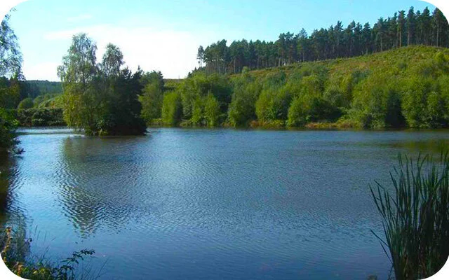
Photo © Malcolm Neal (cc-by-sa/2.0)
Dimmingsdale Valley
Dale Valley walk 1
1.25 miles
A lovely short but energetic walk starting from Dimmingsdale car park. This picturesque route will take you past Mill Pond, along woodland paths and you can enjoy a nice hill climb. The route may be muddy at times.
Dimmingsdale Valley walk 2
2 miles
This second walk is longer circular route that continues though the magical wooded valley, past lakes and pretty streams. Be prepared for some hill climbing on this route and at times it can be muddy.
Dimmingsdale Valley walk 3
3.25 miles
This is an extended version of the second walk where you continue further along the valley, following the stream and walking through Dimmingsdale Wood. This is a strenuous walk that will reward you with beautiful natural surroundings, great views and fresh air in your lungs. This walk may get muddy at times so be prepared and there is a section of walking along a quiet country lane, so please be careful.
Dimmingsdale Valley walk 4
4.25 miles
This is our longest walk from Dimmingsdale car park which will allow you to enjoy much of the beauty of the shorter walks but also includes walking along leafy country lanes and the River Churnet. If you want an energetic trek with woodland paths and hills, this is the walk for you. Please note that there is a long stretch of this walk that takes you along a quiet country lane. Please be careful on this section.
Dimmingsdale Route Map (walk 2)
Download the Staffordshire Walks app to see your position on the map as you walk.

© OpenStreetMap contributors
Contains OS data © Crown copyright and database right 2021