

Hertfordshire Walks

River and Canal Walks in Hertfordshire

River and Canal Walks in Hertfordshire

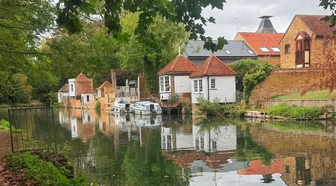
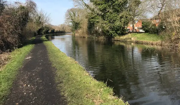
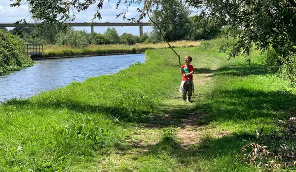
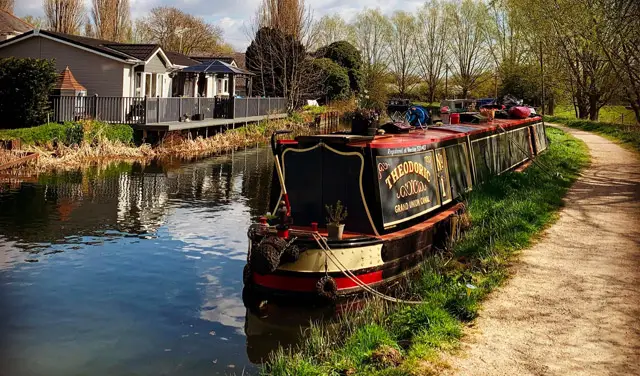
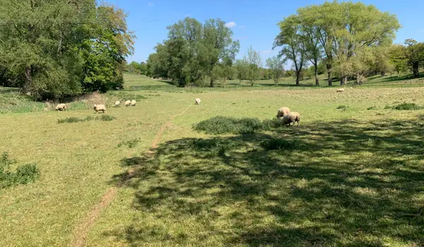
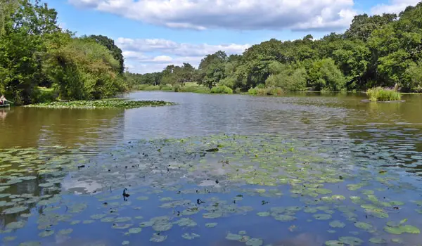
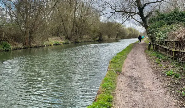
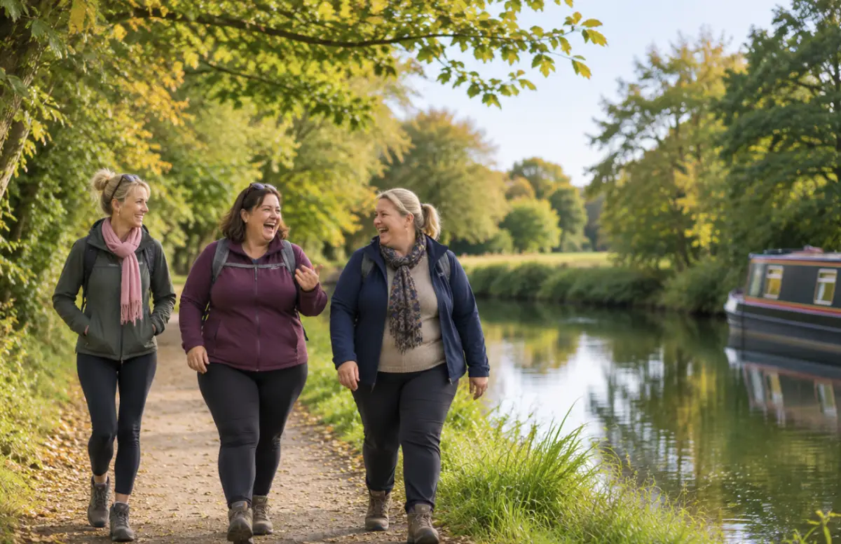
Towpaths, riverbanks and quiet water meadows. These 15 walks follow many of the beautiful rivers and canals of Hertfordshire, and most of them are pleasantly flat.

Download the Hertfordshire Walks App to follow these routes with real-time GPS navigation.

Download on the App Store Get it on Google Play

On a computer? Scan the QR code with your phone's camera to get the Hertfordshire Walks app.

Ware to Hertford Lock canal walk, Hertfordshire
Walk distance
3½ miles
Time
2 hours
Route type
Circular

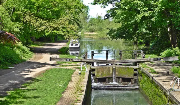
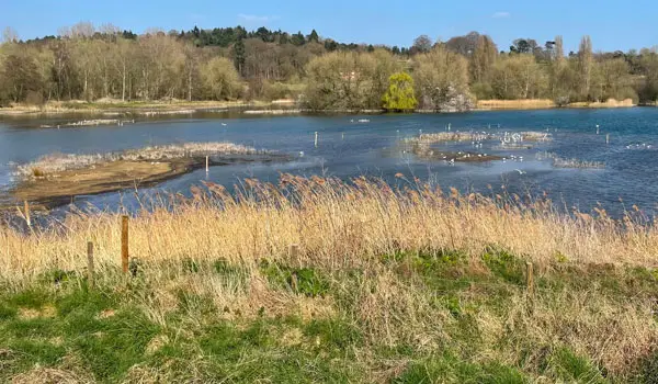
A circular walk that heads west from Ware along the River Lee Navigation, then returns through Kings Mead nature reserve and finishes in town, with pubs such as the Waterside Inn on the route. People say there's lots of birdlife. Some narrow paths can get nettly in early summer, but there's an alternative. Dogs are fine, but it's not suitable for pushchairs.
View the walk and route map
Cassiobury Park Extended Circular Walk, Hertfordshire
Walk distance
2½ miles
Time
1.5 hours
Route type
Circular

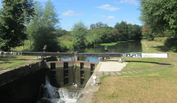
This is an easy, mostly flat walk along the Grand Union Canal and through the woods of a big town park, with a cafe and a bandstand along the way. Our users say it's dog heaven, with water for paddling, and it's mostly buggy friendly. There are no stiles or livestock on this walk.

View the walk and route map
Amwell, Easneye Wood and River Lee Walk, Hertfordshire
Walk distance
4¼ miles
Time
2 hours
Route type
Circular

Lakes, the River Lee and a spell through Easneye Wood make this a watery walk with plenty of variety. It passes through Stanstead Abbotts, where there are several pubs, including the Jolly Fisherman by the canal. Parking at the start is very limited, so many begin this walk in the Stanstead Abbotts village instead where there's a car park. Dogs are welcome, though they'll need to be on leads near wildlife.

View the walk and route map
Panshanger Park and Osprey Lake Circular walk, Hertfordshire
Walk distance
2 miles
Time
1 hour
Route type
Circular

This is a short, easy walk around the pretty lakes of Panshanger Park. You drop down to Osprey Lake, follow the River Mimram for a while, then stop by the smaller Kings Lake before climbing back through Lady Hughes Wood. App users rate it outstanding, and there are no stiles to worry about. It can get a bit muddy after wet weather, and there's an optional detour to a pub if you fancy one.

View the walk and route map
Kings Langley Long Canal Walk, Hertfordshire
Walk distance
6½ miles
Time
3.5 hours
Route type
Circular

This is the long canal-side route option from Kings Langley, so allow plenty of time. You get woodland on the common, a stretch of the Grand Union Canal, open countryside and a village high street with pubs. App users rate it very dog friendly, though cattle fields are likely and it can get muddy. It isn't one for buggies, and some paths may be overgrown, so long trousers are a good idea.

View the walk and route map
Sarratt and Chess Valley Loop walk, Hertfordshire
Walk distance
3¾ miles
Time
2 hours
Route type
Circular

Here the river is the beautiful Chess, and it's a lovely one, tucked into a valley below the village. You'll go down a steep hill to reach it, so save some energy for the climb back up to the amazing pub. Our users say it's great for dogs, mostly off lead, with ponies, alpacas and red kites to look out for. It isn't one for buggies.

View the walk and route map
Berkhamsted Canal and Town Walk, Hertfordshire
Walk distance
1½ miles
Time
1 hour
Route type
Circular

If you like a canal walk with a proper lunch at the end, this is the one. It's a short, easy stroll along a peaceful stretch of towpath, then back along Berkhamsted High Street, where the pubs and cafes are numerous and the train station is close by. Walkers using our app mention the canal path can be very muddy in the rain, so choose your day sensibly.

View the walk and route map
Hertford to Ware Canal Walk, Hertfordshire
Walk distance
6½ miles
Time
3 hours
Route type
Circular

This one links two charismatic Hertfordshire market towns by water, which is rather a nice idea. You follow the canal towpath from Hertford to Ware, then come back through Kings Meads Nature Reserve, with pubs and cafes at both ends. It's a long day rather than a quick leg stretch, but the gradients are gentle and there are no stiles.

View the walk and route map
Glen Faba and Riverside Pub Walk, Hertfordshire
Walk distance
5¾ miles
Time
3 hours
Route type
Circular

Just over the county border into Essex, this walk is mainly waterside, following the River Stort, with a circuit of Glen Faba lake and a riverside pub halfway round. Those who've done it with the app report it's very popular, especially in summer. There's a gentle climb and a couple of stiles. Be ready for mud after rain, and note that walkers have found a flooded path and a footpath temporarily blocked by sheep.

View the walk and route map
Stapleford Woodland Riverside Walk, Hertfordshire
Walk distance
3 miles
Time
1.5 hours
Route type
Circular

This is a wonderful there and back stroll alongside the River Beane near Stapleford.

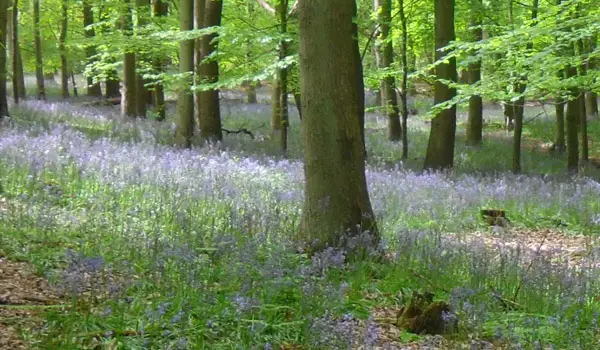
It's especially pretty on this walk in the spring when you'll have the river on one side and a magnificent display of Wild Garlic and Blues bells on your other side.

View the walk and route map
Hadley Wood and St Mary's Church Loop walk, Hertfordshire
Walk distance
4½ miles
Time
2 hours
Route type
Circular

Don't be put off by how close this walk is to London. It's beautiful woodland, a lake with benches for a packed lunch, bluebells in season and a pub at the far end of the route. Our users say it's dog heaven, with no stiles or livestock. There are a few hills, and it can be properly muddy, so wear boots. It isn't suitable for buggies.

View the walk and route map
Dobbs Weir and River Lee Circular Walk, Hertfordshire
Walk distance
4 miles
Time
2 hours
Route type
Circular

With a pub at Dobbs Weir and another near the end, you won't go thirsty on this one. It's an easy, flat route along the New River Path and the River Lee Navigation, passing several locks. Walkers using our app mention the Fish and Eels as well worth a stop by the water. Some stretches are muddy and there's a little fly-tipping, but dogs are well catered for.

View the walk and route map
Batford Springs and Marshall's Heath Long Walk, Hertfordshire
Walk distance
3½ miles
Time
2 hours
Route type
Circular

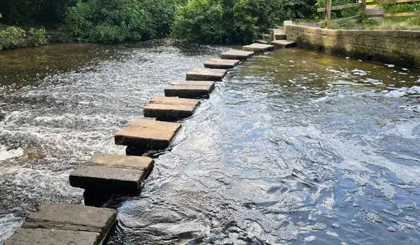
The wooden boardwalk through Batford Springs is the highlight, with a stepping-stone crossing if you're feeling adventurous. Our users rate it very dog friendly, with plenty of water for paddling and swimming. The loop then climbs through woods and fields, finishing along the old railway line to the Marquis of Granby. It can be busy at the start and end, and the paths are muddy in places.

View the walk and route map
Waterford Marshes and Great Mole Woods Walk, Hertfordshire
Walk distance
2 miles
Time
1 hour
Route type
Circular

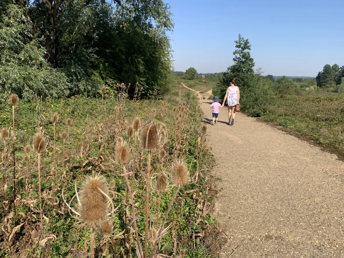
A short varied walk that packs in a stroll alongside a gorgeous shallow river, some adventurous woods and some open heathland, finishing near the Dinosaur Egg sculpture, which children will love. Our users rate it very dog friendly, especially if your dog likes a swim, and there's plenty of off-lead space with just a little road. There are several kissing gates, so it's not great for buggies, and it's worth bringing a packed lunch.

View the walk and route map
Pishiobury Park and Canal Walk, Hertfordshire
Walk distance
3½ miles
Time
1.5 hours
Route type
Circular

Our longest route from Pishiobury park enjoys the park itself of course, but then also enjoy a long stretch of walking along the pretty River Stort Navigation and also visits some nice eateries for refreshments in Harlow Mill.

View the walk and route map

Navigate the walks

Hertfordshire Walks App

Download the Hertfordshire Walks app

It's like sat-nav, but for footpaths.

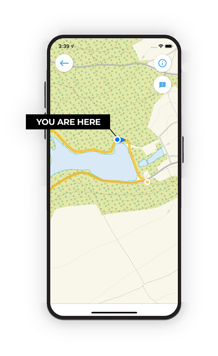
Choose a walk and follow the pointer showing your live position on the route map, so you always know you're on the right path.

The app works without a phone signal, so you can keep following the route wherever the walk takes you.

Download the app

Download on the App Store Get it on Google Play

On a computer? Scan the QR code with your phone's camera to get the Hertfordshire Walks app.

Hertfordshire Walks app showing the walker's live position on a route map

Designed to be simple

  • Choose a walk and follow the pointer
  • See your live position on the route map
  • Works without a phone signal
  • Includes 400 Hertfordshire walks
  • Free one-month trial
  • Available for iPhone and Android

Explore the county

Hertfordshire walks map

Map data © OpenStreetMap contributors

Search Hertfordshire walks

See where the walks start, explore the area and tap a pin to find a route for your next adventure.

Search Hertfordshire walks
Expanded route map for Ware to Hertford Lock canal walk