

Hertfordshire Walks

Panshanger Park Walk and Map

Panshanger Park walk, Hertfordshire
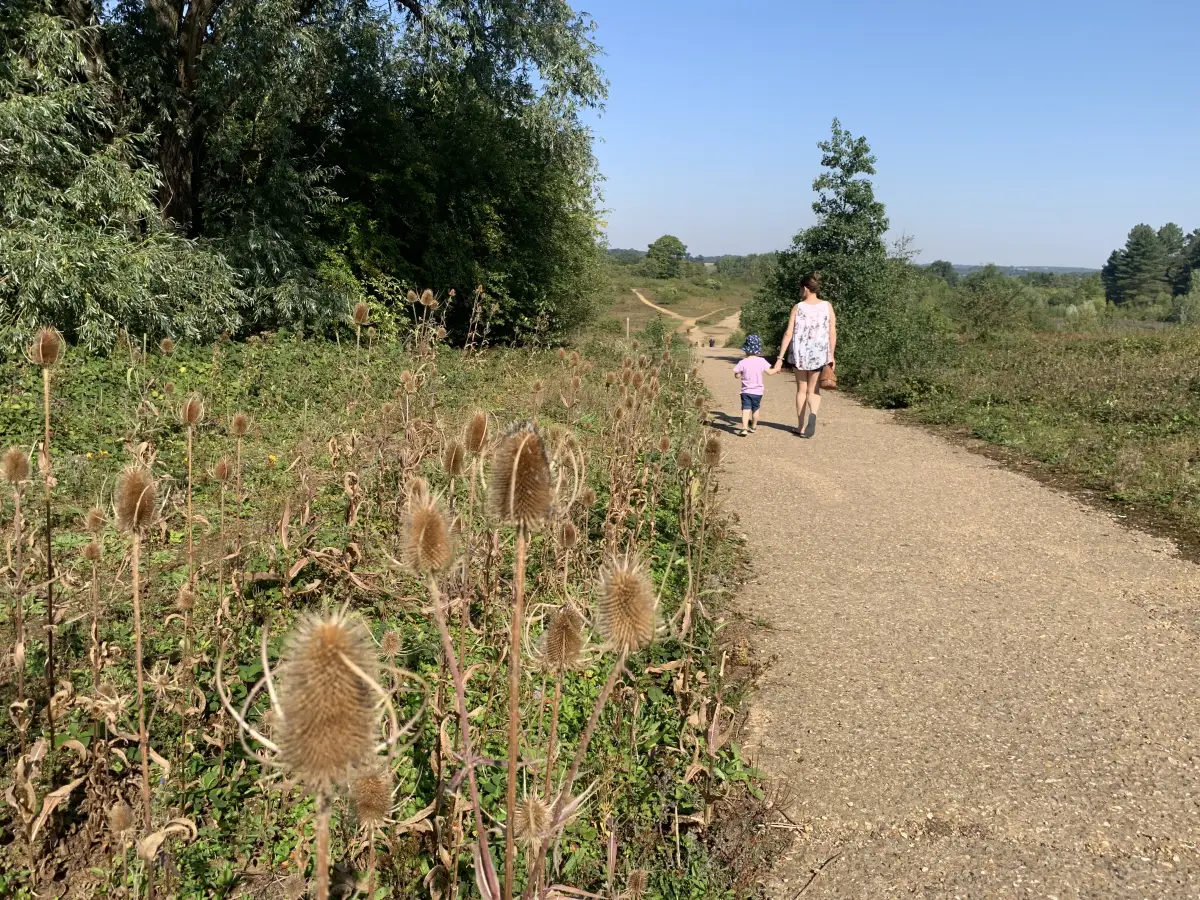
Panshanger Park · Photo: Local Walks Team

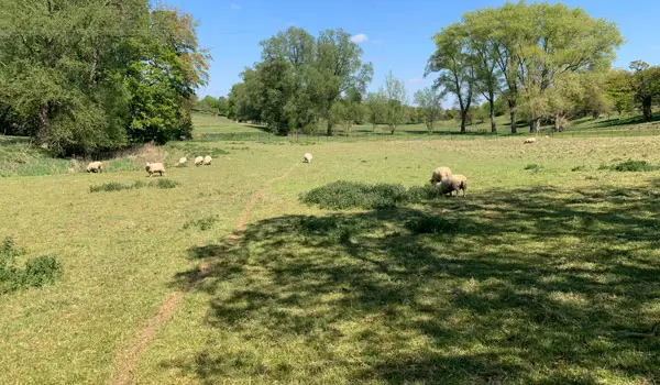
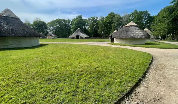
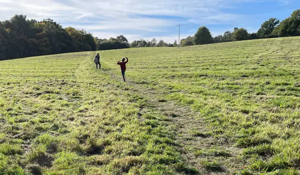
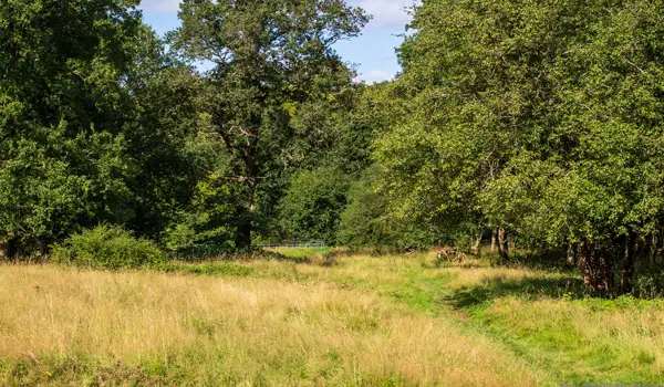
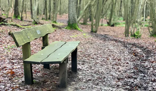
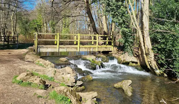
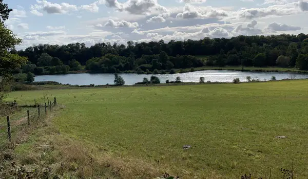
Panshanger Park is a vast 1,000 acre countryside park in Hertfordshire with lakes and rivers, scenic countryside and shaded woodland. The park is a popular location to walk and enjoy the beautiful natural surroundings and it’s a haven for birds and wildlife. There are lot’s of areas within Panshanger Park to discover and we have four walks so that you can explore and experience everything Panshanger Park has to offer.

Download the Hertfordshire Walks App to follow these routes with real-time GPS navigation.

Download on the App Store Get it on Google Play

On a computer? Scan the QR code with your phone's camera to get the Hertfordshire Walks app.

Walk information

Panshanger Park Walk 1

Walk distance
1¾ miles
Time
1 hour
Route type
Circular

This first route option from the wonderful Panshanger Park is a nice short loop around the northern section of the park.

You'll first head off north into the Blakemore Wood, before then walking on a loop around a bridleway until you emerge to nice views over the Osprey Lake and then head back across to the car park.

This route is a better option in the summer months when the crops are full and vibrant.

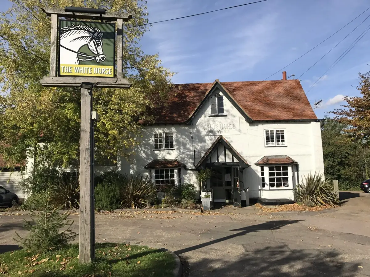
There isn't a pub on the actual route at Panshanger Park, but there is a lovely recommended pub a short optional detour walk or drive away.

Refreshments:

The White Horse, Hertingfordbury

Walk information

Panshanger Park Walk 2

Walk distance
2 miles
Time
1 hour
Route type
Circular

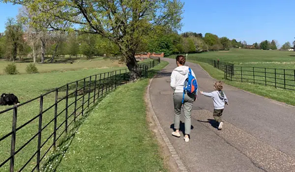
This second route option is another short walk and this route focusses on the lakes that you'll find at the southern edge of the park.

You'll first head off down the hill from the car park towards the pretty Osprey lake, then you'll follow the River Mimram for a while before visiting the smaller Kings Lake.

After that, you'll head back up the hill and then back to the start through the Lady Hughes Wood making this a lovely short but varied walk for all the family.

There is also a nice optional detour to the lovely pub for refreshments.

Refreshments:

The White Horse, Hertingfordbury
Walk information

Panshanger Park Walk 3

Walk distance
3¼ miles
Time
1.5 hours
Route type
Circular

If you have a bit more time to enjoy this wonderful park, this third option is a welcome extension to the second route.

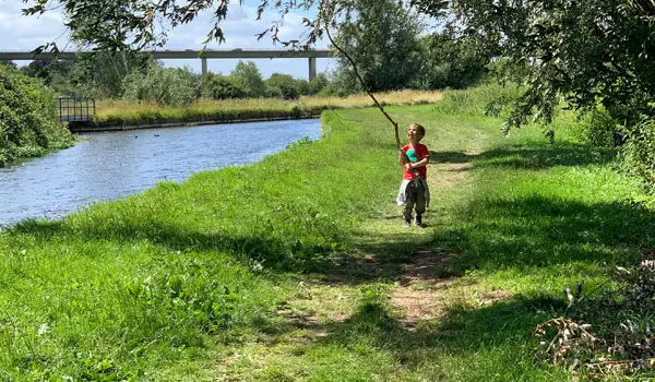
You'll still visit the lovely lakes and river like on the second route, but first you'll journey deeper into the park on an adventure to find the wonderful remains of the Orangery and then the ancient old Panshanger Oak which is apparently around 450 years old.

Once you've enjoyed that, it's then a long glorious walk back to the start through the park with some wonderful views over the lakes as you go.

As with the other routes, there is a nice optional detour to a lovely pub for refreshments marked on the map.

Refreshments:

The White Horse, Hertingfordbury
Walk information

Panshanger Park Walk 4

Walk distance
4½ miles
Time
2.5 hours
Route type
Circular

If you want to enjoy this lovely park, but also want to have a bit of a workout, then this fourth option is basically an extension to the third route that will offer you a more strenuous walk overall.

The route basically explores all the lovely areas of the park that you'll find in the third route, but this option also climbs up into the steep woodland of the Chisel Shelf for an extra loop of enjoyable walking.

Finally, there is a nice optional detour added to the map that takes you to the lovely pub for post-walk refreshments.

Refreshments:

The White Horse, Hertingfordbury

These Panshanger Park walks start at grid reference: 51.795997,-0.107501

Navigate the walks

Hertfordshire Walks App

Follow the Panshanger Park walks with GPS guidance

It's like sat-nav, but for footpaths.

Choose a walk and follow the pointer showing your live position on the route map, so you always know you're on the right path.

The app works without a phone signal, so you can keep following the route wherever the walk takes you.

Download the app

Download on the App Store Get it on Google Play

On a computer? Scan the QR code with your phone's camera to get the Hertfordshire Walks app.

Hertfordshire Walks app showing the walker's live position on a route map

Designed to be simple

  • Choose a walk and follow the pointer
  • See your live position on the route map
  • Works without a phone signal
  • Includes 400 Hertfordshire walks
  • Free one-month trial
  • Available for iPhone and Android

Explore the area

Nearby walks

Explore the county

Hertfordshire walks map

Map data © OpenStreetMap contributors

Search Hertfordshire walks

See where the walks start, explore the area and tap a pin to find a route for your next adventure.

Search Hertfordshire walks
Expanded route map for Panshanger Park Walk 1, a 1.75 mile circular walk in Hertfordshire