

Hertfordshire Walks

Berkhamsted Walks and Map

Berkhamsted walk, Hertfordshire
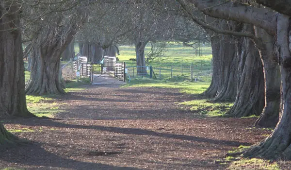
Berkhamsted · Photo: Wayland Smith

We have three Berkhamsted walks on the Hertfordshire Walks app ranging from 1.5 miles to 8miles.

Download the Hertfordshire Walks App to follow these routes with real-time GPS navigation.

Download on the App Store Get it on Google Play

On a computer? Scan the QR code with your phone's camera to get the Hertfordshire Walks app.

Walk information

Berkhamsted Walk 1

Walk distance
1½ miles
Time
1 hour
Route type
Circular

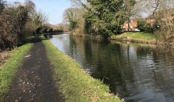
This first route is a simple family-friendly town and canal stroll around the pretty market town of Berkhamsted.

You'll first take a long peaceful stroll along the canal before looping around and then working your way back along the town's High Street where you'll find plenty of eateries and shops.

Refreshments:

The Crystal Palace, Berkhamsted

The Boat, Berkhamsted

Kings Arms, Berkhamsted

The George Inn, Berkhamsted

Train Station:

Berkhamsted

Walk information

Berkhamsted Walk 2

Walk distance
5¼ miles
Time
2.5 hours
Route type
Circular

If you have a bit more time, then this second route option is a lovely varied adventure from the historic market town of Berkhamsted.

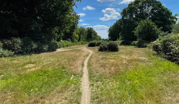
You'll kick off the walk with a long stroll along the pretty Grand Union Canal before crossing over and neading north past Chiltern Park. You'll then have a nice walk along some woodland paths before emerging out into the open and climbing a big hill in Berkamsted Common.

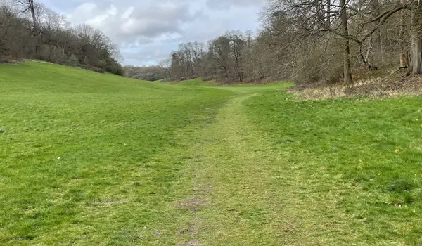
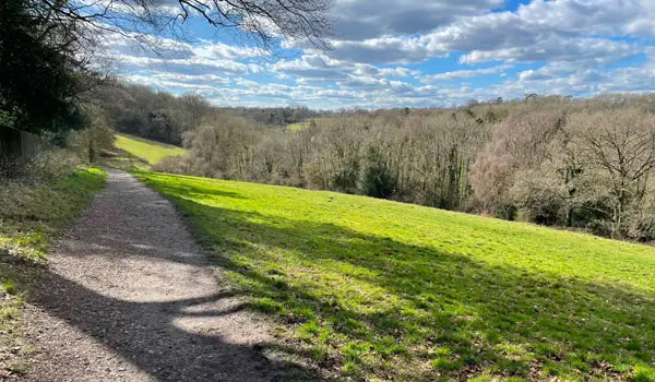
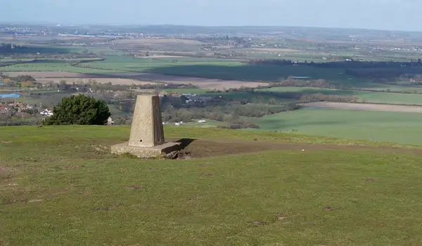
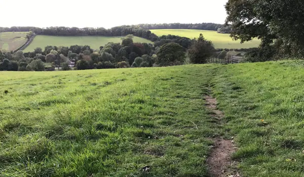
You'll then descend down the hill enjoying nice views towards Berkhamsted castle which you can optionally explore when it's open. (Check their website for opening times).

After this the walk finishes with a quick loop down to the town's High Street where you'll find plenty of eateries and shops.

Walk information

Berkhamsted Walk 3

Walk distance
8 miles
Time
4 hours
Route type
Circular

The third route option is basically an epic adventure for those of you that really want to explore the beautiful countryside, hills and woodlands around Berkhamsted.

Like the second walk, you'll still enjoy a long walk alongside the Grand Union Canal and visit the Berkhamsted Castle and town High Street.

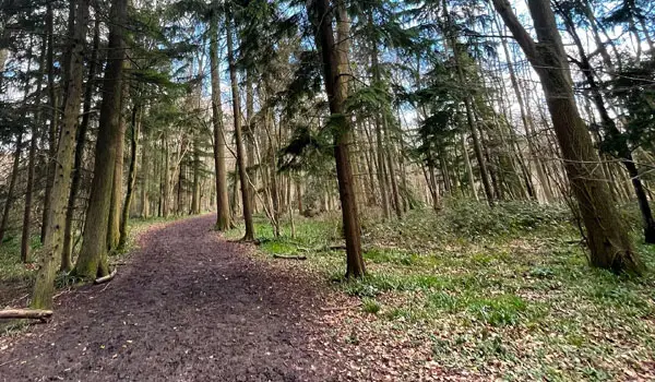
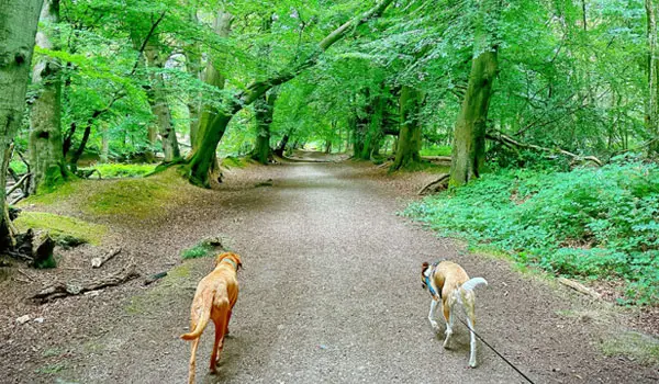
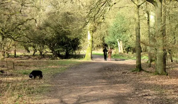
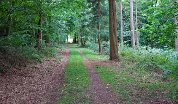
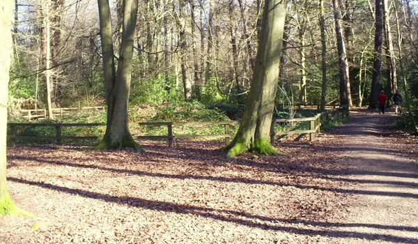
However, this option also heads out much further to the north and takes you on a glorious walk through the woodlands of the Northchurch Common, the Berkhamsted Common and the Frithsden Beeches.

It's a long walk with many hills and lots of woodland, so please go prepared with the appropriate clothing and refreshments.

These Berkhamsted walks start at grid reference: 51.763241,-0.56756

Navigate the walks

Hertfordshire Walks App

Follow the Berkhamsted walks with GPS guidance

It's like sat-nav, but for footpaths.

Choose a walk and follow the pointer showing your live position on the route map, so you always know you're on the right path.

The app works without a phone signal, so you can keep following the route wherever the walk takes you.

Download the app

Download on the App Store Get it on Google Play

On a computer? Scan the QR code with your phone's camera to get the Hertfordshire Walks app.

Hertfordshire Walks app showing the walker's live position on a route map

Designed to be simple

  • Choose a walk and follow the pointer
  • See your live position on the route map
  • Works without a phone signal
  • Includes 400 Hertfordshire walks
  • Free one-month trial
  • Available for iPhone and Android

Explore the area

Nearby walks

Explore the county

Hertfordshire walks map

Map data © OpenStreetMap contributors

Search Hertfordshire walks

See where the walks start, explore the area and tap a pin to find a route for your next adventure.

Search Hertfordshire walks
Expanded route map for Berkhamsted Walk 2, a 5.25 mile circular walk in Hertfordshire