

Hertfordshire Walks

Hill Walks in Hertfordshire

Hill Walks in Hertfordshire

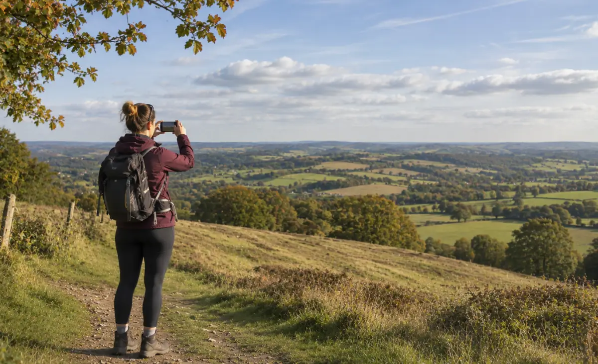
Hertfordshire isn't necessarily known for it's hill walking, but if you know where to look you can find a few gems that will get the blood pumping with some steep ascents and reward you with some lovely views.

These 15 walks are a collection of walks that we think have the best climbs and the widest views in Hertfordshire.

Download the Hertfordshire Walks App to follow these routes with real-time GPS navigation.

Download on the App Store Get it on Google Play

On a computer? Scan the QR code with your phone's camera to get the Hertfordshire Walks app.

Pegsdon Hills and Knocking Hoe Walk, Hertfordshire
Walk distance
4¾ miles
Time
2.5 hours
Route type
Circular

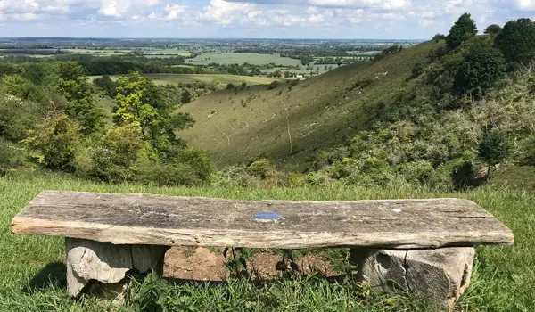
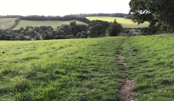
If you want the real thing without having to travel too far out of Hertfordshire, start here. The Pegsdon Hills climbs come early, then there's a big loop of hilly walking round Knocking Hoe. Our users say there's plenty of climbing, and walkers say the views make it worth it. It's slippery on the slopes when wet, and livestock is likely. The pub gets a good word too, so you can finish with a pint.
View the walk and route map

Walk details

Wilbury Hill Walk

Wilbury Hill Walk, Hertfordshire
Walk distance
1¾ miles
Time
1 hour
Route type
Circular

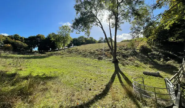
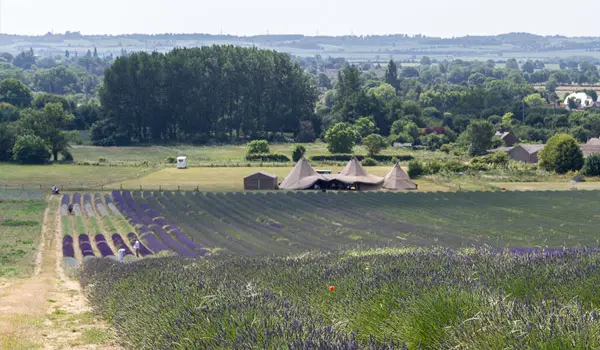
It's short, but the long sweeping descent towards Hitchin Lavender is a treat, and you climb back up for the finish. Our users rate it easy and mostly dry underfoot. It's a pub walk too, with a steakhouse close to the start and a barn café at the farm. Walkers mention good food at the Plume of Feathers. Check the entry fee if you want to go in the farm.

View the walk and route map
Kitching Track and Knebworth Long Loop walk, Hertfordshire
Walk distance
6½ miles
Time
3 hours
Route type
Circular

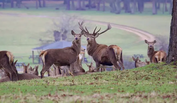
A proper long loop for those who want a climb and a lot of sky. The Kitching Track is the big ascent, with views on the way back down, and the route also takes in woods and the grounds of Knebworth Park, where you might spot the majestic herd of deer that dwells there. Walkers using our app mention exposed stretches, so wrap up on a cold day.

View the walk and route map
Lilley Four Summits Walk, Hertfordshire
Walk distance
7¾ miles
Time
4 hours
Route type
Circular

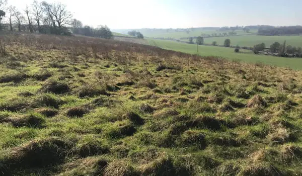
This is a great option for anyone training for a big trek. Be prepared for a workout as this long route takes you to the summits of Warden Hill, Galley Hill, Telegraph Hill and over the top of Lilley Hoo as you go. Of course, you'll be rewarded for your efforts with some wonderful views at times and also a perfect country pub at the end of your adventure.

View the walk and route map
Trent Park and Obelisk Walk, Hertfordshire
Walk distance
3 miles
Time
1.5 hours
Route type
Circular

This is at the gentle end of our hilly walks collection. The climb up through woodland to George Grey's Obelisk is the effort, and app users rate the climbing as modest and the walk as easy overall. Save the steep avenue descent for dry weather, as it can be slippery, and you can always go back the way you came. There's a café at the finish, and it's rated very highly with dogs.

View the walk and route map
Ayot St Lawrence, Codicote and River Mimram Walk, Hertfordshire
Walk distance
4¾ miles
Time
2.5 hours
Route type
Circular

If you like your hills with a pub at the top and another at the bottom, this one suits. You get the long descent north of the village, a stretch beside the River Mimram, then a pull back up from Codicote to Ayot St Lawrence. People using the Hertfordshire Walks app rate the pub stops as amazing, and the paths as clear. There are a couple of stiles and some livestock.

View the walk and route map
Full Aldbury and Ashridge Estate adventure walk, Hertfordshire
Walk distance
7 miles
Time
3.5 hours
Route type
Circular

This is the big day out from Aldbury. You climb into the Ashridge Estate for woodland, Prince's Riding and the monument, then loop round the countryside west of the village. It's the longest walk on this page, so allow time. The Greyhound Inn is a busy finish, so book ahead. Our users say it's moderate in difficulty and rate it very highly for dogs.

View the walk and route map
Chess Valley and Chenies Walk, Hertfordshire
Walk distance
5¾ miles
Time
3 hours
Route type
Circular

The Chess Valley is the star here, and the hills come from dropping into it, climbing to Chenies, then dropping again before a steep pull back up to Sarratt. Those who've done it with the app rate it as dog heaven, and one mentions the river crossings. The Boot pub is a welcome stop back in the village.

View the walk and route map
Weston Hills Countryside Loop walk, Hertfordshire
Walk distance
4 miles
Time
2 hours
Route type
Circular

This is a good one for wooded slopes and open views without a big commitment. You climb into Weston Hills Nature Reserve, loop out through the countryside between Baldock and Weston, then return via Gibbet Hill. Our users love it and find it easy to follow, with no stiles to worry about. There's no café or pub, so pack a picnic, and it gets slippery in the wet.

View the walk and route map
Dane End to Green End Loop walk, Hertfordshire
Walk distance
2¾ miles
Time
1.5 hours
Route type
Circular

A short and more gentle one for when you want some height without making a day of it. It heads north of Dane End to Green End, takes in the Chain Walk and All Saints church, then drops back down. App users rate it outstanding, with gentle slopes and a lot of dog approval. There's nowhere to eat, and boots are recommended. One walker paired it with another Dane End route for extra length.

View the walk and route map
Panshanger Park and Chisel Shelf Long Walk, Hertfordshire
Walk distance
4½ miles
Time
2.5 hours
Route type
Circular

This is a park walk with a proper workout tucked in. After the lakes and parkland, you climb the steep woodland of the Chisel Shelf, which one walker called a steep climb, though others found the hills nothing too strenuous. Paths are clear, and it's rated dog heaven by app users. There's an optional detour to a pub for refreshments at the end, and walkers also mention a good coffee.

View the walk and route map
Benington and Countryside Circular Walk, Hertfordshire
Walk distance
6¼ miles
Time
3 hours
Route type
Circular

The hills here are rolling rather than steep, but you climb up and down a good few as you head east of Benington into open countryside. It's quiet, with sweeping views, and one walker found it great in bluebell season. It's very popular with app users, and no stiles are reported. It can be muddy, so wear good footwear.

View the walk and route map
Sheethanger Common Short Loop walk, Hertfordshire
Walk distance
1½ miles
Time
1 hour
Route type
Circular

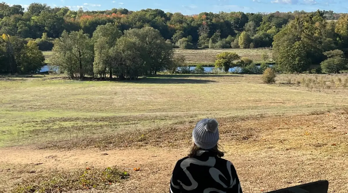
The shortest walk in our collection, and a nice way to test your legs. Expect a short but steep hill at the start, then open parkland, woodland and a bench with a view. App users rate it dog heaven and there are no stiles. You can skip the slipperier part by taking the flatter bridleway. There's no café, so take a flask.

View the walk and route map
Watton-at-Stone and Stapleford Long Loop walk, Hertfordshire
Walk distance
6¾ miles
Time
3.5 hours
Route type
Circular

This one is more about views and woodland than steep climbing, and people rate it easy to moderate. You climb into Bramfield Woods, with bluebells in spring, then enjoy the views on the way down. Two pubs, The George and Dragon and The Bull, are on the route, and Watton-at-Stone station is handy. Walkers recommend boots or wellies in the wetter months.

View the walk and route map
Graves Wood and Old Bourne Walk, Hertfordshire
Walk distance
4¼ miles
Time
2 hours
Route type
Circular

A decent stretch of the legs from Dane End, heading down through Graves Wood and along the Old Bourne valley. The slopes are moderate, so it suits anyone who wants some hills without the big climbs. The paths are clear and there are no stiles. Dog owners should know about horses and cattle in fields.

View the walk and route map

Navigate the walks

Hertfordshire Walks App

Download the Hertfordshire Walks app

It's like sat-nav, but for footpaths.

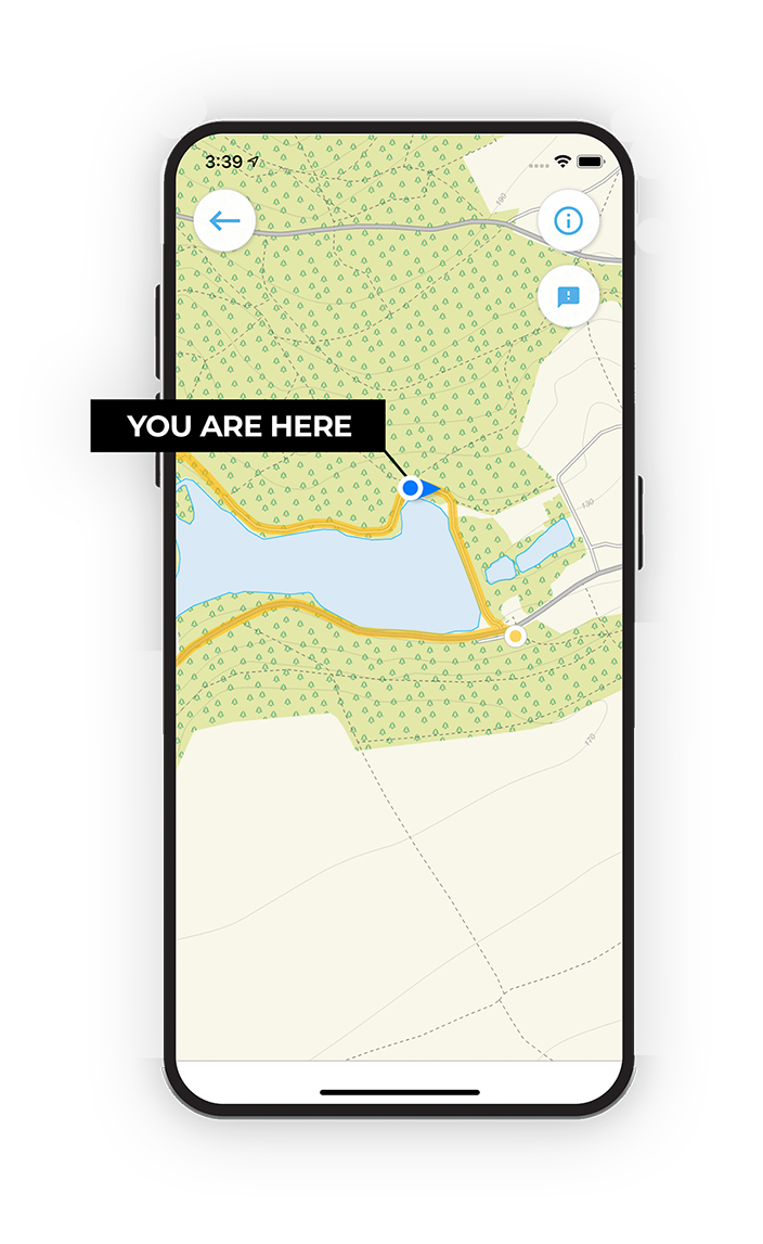
Choose a walk and follow the pointer showing your live position on the route map, so you always know you're on the right path.

The app works without a phone signal, so you can keep following the route wherever the walk takes you.

Download the app

Download on the App Store Get it on Google Play

On a computer? Scan the QR code with your phone's camera to get the Hertfordshire Walks app.

Hertfordshire Walks app showing the walker's live position on a route map

Designed to be simple

  • Choose a walk and follow the pointer
  • See your live position on the route map
  • Works without a phone signal
  • Includes 400 Hertfordshire walks
  • Free one-month trial
  • Available for iPhone and Android

Explore the county

Hertfordshire walks map

Map data © OpenStreetMap contributors

Search Hertfordshire walks

See where the walks start, explore the area and tap a pin to find a route for your next adventure.

Search Hertfordshire walks
Expanded route map for Pegsdon Hills and Knocking Hoe Walk