Hertfordshire Walks

Ringshall Walks & Route Maps

Ringshall walk, Hertfordshire
Ringshall · Photo: Chris Reynolds

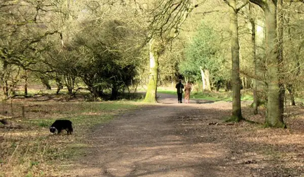
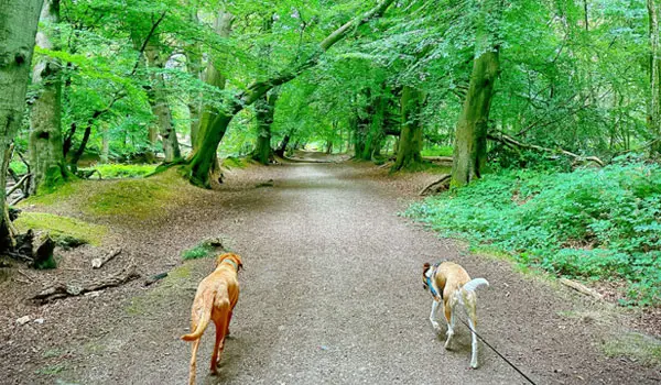
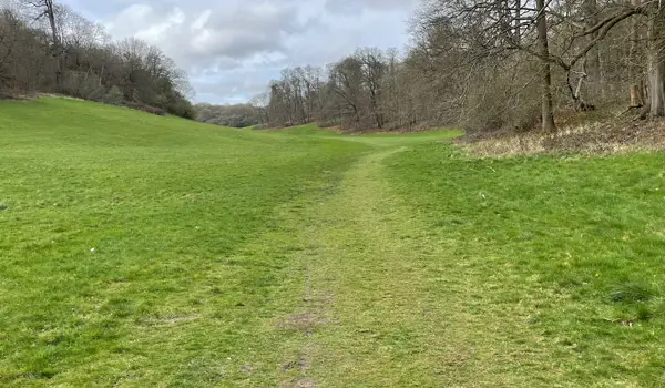
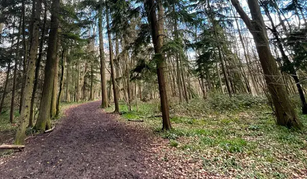
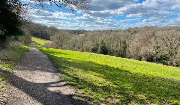
Surrounded by the magnificent landscapes of the Ashridge Estate, these walks from Ringshall are all about ancient woodland, sweeping views and rewarding hill climbs. Whether you're after a gentle woodland stroll or a demanding hiking challenge, you'll find a route that's well worth the effort.

Download the Hertfordshire Walks App to follow these routes with real-time GPS navigation.

Download on the App Store Get it on Google Play

Walk information

Ringshall Walk 1

Walk distance
2¾ miles
Time
1.5 hours
Route type
Circular

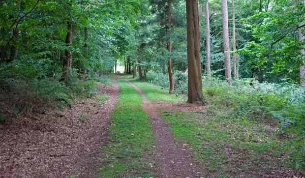
This first route is a lovely stroll around the woodlands to the north of the Ashridge Estate.

The walk takes you down to the Bridgewater Monument and there is a cafe there for refreshments.

Refreshments:

National Trust Visitor Centre Cafe

Ringshall Walk 1 4.0 Ratings and reviews 1 rating

Based on 1 user rating

Community feedback

Overall rating4.0

A very popular walk

Dog friendly5.0 / 5
Path condition5.0 / 5
Buggy friendly3.0 / 5
Wheelchair friendly3.0 / 5
Toilet facilities3.0 / 5
Pub or café4.0 / 5
Route accuracy5.0 / 5
ClimbingGentle slopes
LivestockNo livestock
StilesNo stiles
Mud levelMay be muddy after wet weather

Real feedback from people who have completed this walk using the Hertfordshire Walks app.

Walk information

Ringshall Walk 2

Walk distance
4¼ miles
Time
2 hours
Route type
Circular

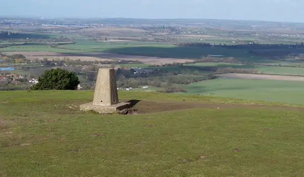
If you want a much more strenuous adventure, then this second route option takes you on a walk through the Ashridge Estate woodlands and then over Clipper Down where you'll enjoy some nice views.

The walk then requires some work as you'll descend down the steep hill into the Coombe to enjoy it's woodland before tackling the steep climb back up and then finishing the walk with a peaceful countryside section.

Ringshall Walk 2 No ratings yet Be the first - rate this walk in the Hertfordshire Walks App

Walk information

Ringshall Walk 3

Walk distance
7¾ miles
Time
4 hours
Route type
Circular

Our final walk from this location is an epic adventure with lots of hills that will really give you a workout, perfect if you're training for a long distance walk.

Heading anticlockwise you'll tackle the Coombe hills and woodland from the second route before heading towards Steps Hill where you'll enjoy more lovely views.

After this, you'll trek over to the summit of 'Pauls Knob', Pitstone Hill and the Aldbury Nowers woodlands.

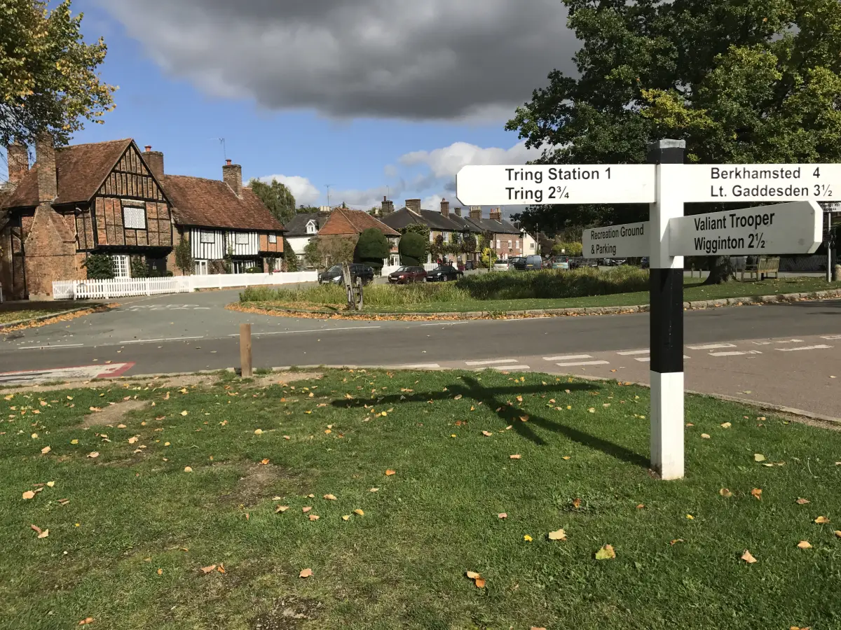
You'll need an energy top up after all those hills, so you'll be really glad to then make it into the pretty village of Aldbury where a welcoming pub awaits.

Finally, you'll tackle one more climb up into the Ashridge Estate woodlands where there's a cafe and then a final woodland stretch back to the start.

Refreshments:

The Greyhound, Aldbury

National Trust Visitor Centre cafe, Ashridge

Ringshall Walk 3 5.0 Ratings and reviews 1 rating · 1 review

Based on 1 user rating

Community feedback

Overall rating5.0

An outstanding walk

Dog friendly1.0 / 5
Path condition5.0 / 5
Buggy friendly0.0 / 5
Wheelchair friendly0.0 / 5
Toilet facilities0.0 / 5
Pub or café0.0 / 5
Route accuracy0.0 / 5
ClimbingSteep climbs
LivestockNo livestock
StilesNo stiles
Mud levelDry underfoot

Real feedback from people who have completed this walk using the Hertfordshire Walks app.

First-hand experiences

User reviews

Walker review

The best walk on the app!

Navigate the walks

Hertfordshire Walks App

Follow the Ringshall walks with GPS guidance

It's like sat-nav, but for footpaths.

Choose a walk and follow the pointer showing your live position on the route map, so you always know you're on the right path.

The app works without a phone signal, so you can keep following the route wherever the walk takes you.

Download the app

Download on the App Store Get it on Google Play
Hertfordshire Walks app showing the walker's live position on a route map

Designed to be simple

  • Choose a walk and follow the pointer
  • See your live position on the route map
  • Works without a phone signal
  • Includes 400 Hertfordshire walks
  • Free one-month trial
  • Available for iPhone and Android

Explore the area

Nearby walks

Explore the county

Hertfordshire walks map

Map data © OpenStreetMap contributors

Search Hertfordshire walks

See where the walks start, explore the area and tap a pin to find a route for your next adventure.

Search Hertfordshire walks
Expanded route map for Ringshall Walk 1, a 2.75 mile circular walk in Hertfordshire