
At a glance
Bruce Trail Walk
- Distance
- 6 miles
- Estimated time
- 3 hours
- Route type
- Circular
- GPS app guided
- Yes
- Parking
- National Trust car park at start 51.77578, -2.24519
- Characteristics
- Woodland, Hills, Countryside, Pub
Gloucestershire Walks
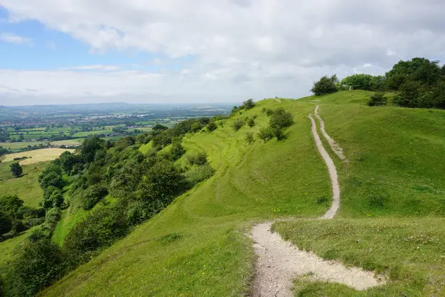
The Bruce Trail is a challenging but rewarding circular walk through beautiful Cotswold countryside near Stroud, offering big views and plenty of variety.
Twinned with the famous Canadian trail, the route crosses woodland, commons and open grassland, with highlights including Edge Common and far-reaching views from Haresfield Beacon, making this a superb walk for confident walkers who enjoy scenic, energetic routes.
Download the Gloucestershire Walks App to follow this route with real-time GPS navigation.


At a glance
The walk
This is a substantial and challenging walk circular around the beautiful Cotswold countryside close to Stroud. The trail is twinned with the Bruce Trail in Canada, hence the name and marks a bond of friendship and cooperation between the two areas.
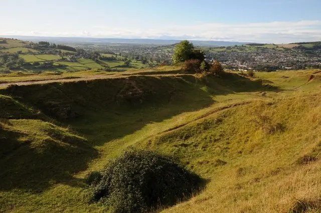
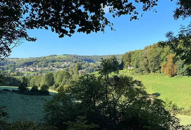
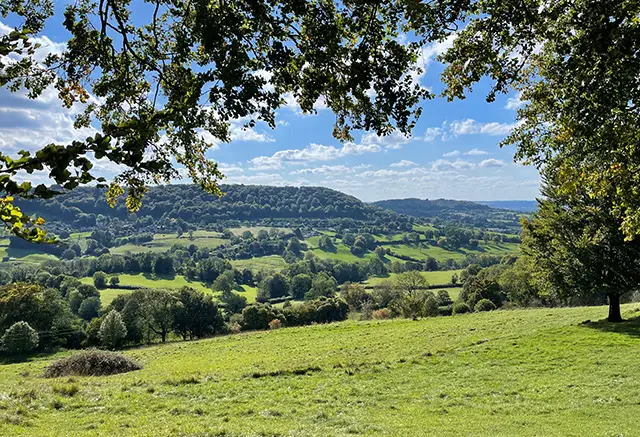
The Cotswold Way, woodlands, grasslands and commons feature in this walk and provide some stunning views particuarly over the Pitchcombe Valley, whilst Edge Common, a biological site of special interest provides you with the opportunity to see the rare Duke of Burgundy butterfly.
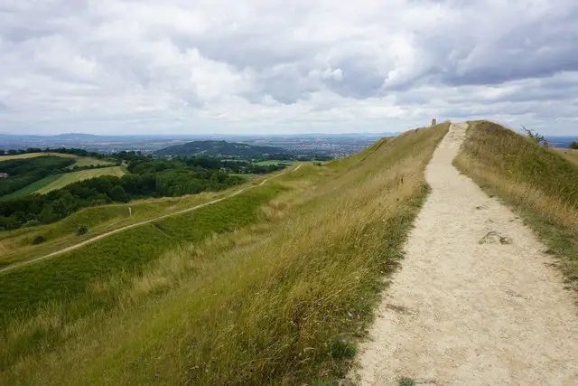
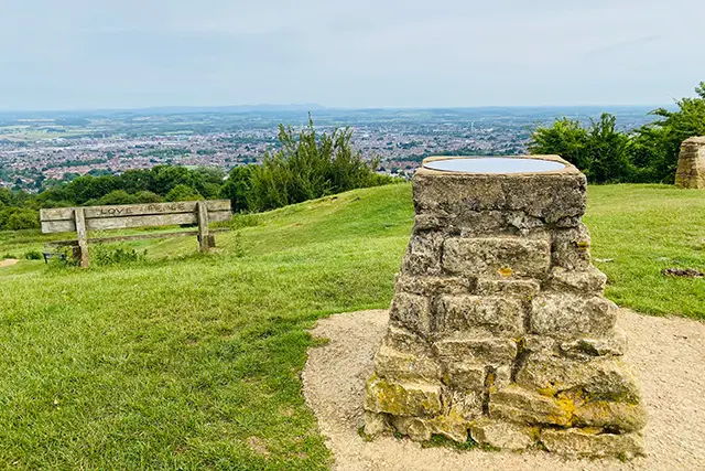
There are also scenic views over the valley with views of the Malvern Hills and the Brecon Beacons on a good day. The walk also passes Cromwell's Stone and leads you to the Haresfield Beacon which has yet more amazing views across the escarpment.
There is a pub en route which you can get to by making a small detour across the road (please take care) for refreshments, there is some road walking during the course of the walk.
Refreshments:
Edgemoor Inn, Painswick
Based on 6 user ratings
A well-liked walk
Fine with dogs
Generally well maintained
Not suitable for pushchairs
Not wheelchair accessible
No facilities
Quite good
Accurate
Real feedback from people who have completed this walk using the Gloucestershire Walks app.
First-hand experiences
Car park is small and owned by the national trust. Plenty of space on roadside. This route follows the Cotswolds Way so very well signposted.
My first walk using the app and it will certainly be the first of many! ...
Great walk, some fairly steep but short climbs. Amazing views at the beacon.
Comments from walkers who have completed the Bruce Trail walk.
Navigate the walks
The easiest way to follow this route is with the Gloucestershire Walks app. Choose the walk and follow the pointer showing your live position on the route map, so you can see you're on the right path.
The app works without a phone signal, so you can keep following the route wherever the walk takes you.

Explore the area
 3-4.25 miles
 2.25-3.75 miles
 2.75 miles
 1.5 miles
 2.25-4.5 miles
 2.5-3.25 miles
 2.25-3 miles
 3 miles
 1.75 miles
 1.75-3.25 miles
 4.25 miles
 2.25-6.25 miles
 3-3.75 miles
 1.75-7.5 miles
 2-4.5 miles
Explore the county
See where the walks start, explore the area and tap a pin to find a route for your next adventure.
Search Gloucestershire walks