

Gloucestershire Walks

Cam Peak Walk & Route Map

Cam Peak walk, Gloucestershire
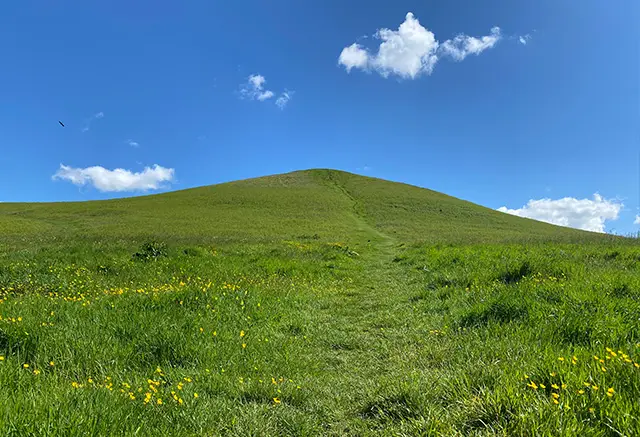
Cam Peak · Photo: Local Walks Team

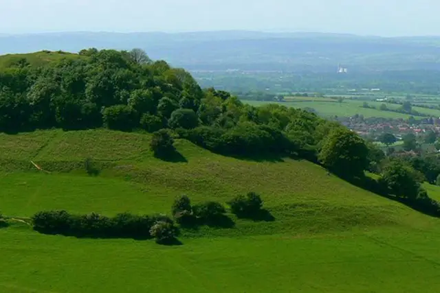
The Cam Peak walks are short in distance but big on drama, offering a choice between a punchy summit hike or a full-on, energy-burning adventure across some of the finest scenery in the Cotswolds.

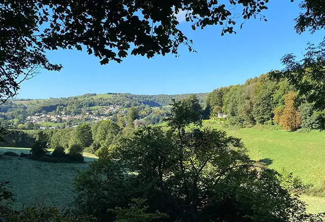
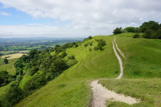
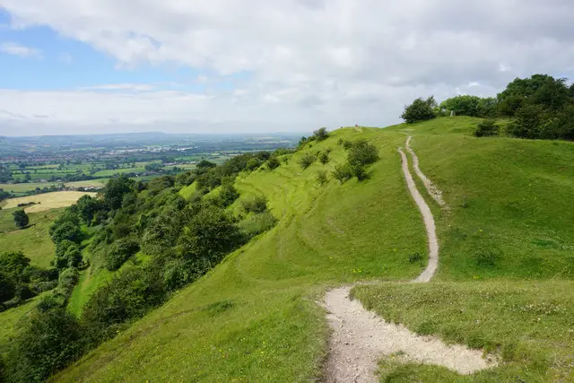
Both routes climb to the top of Cam Peak, where breathtaking 360-degree views make every step worthwhile, before continuing along Cam Long Down, a glorious ridge with ever-changing panoramas. The longer route turns this into a true epic, dropping into the valley and climbing again to Uley Bury, with the option of a welcome refreshment stop at The Old Crown along the way, and even an extra ascent of Downham Hill for those with fuel left in the tank.

Expect steep climbs, uneven and sometimes muddy paths, and huge rewards in terms of views and atmosphere - this is a walk for those who like their countryside with a bit of grit and grandeur.

Download the Gloucestershire Walks App to follow these routes with real-time GPS navigation.

Download on the App Store Get it on Google Play

Cam Peak walk 01

Cam Peak Short Walk

Walk distance
1¾ miles
Time
1 hour
Route type
Circular

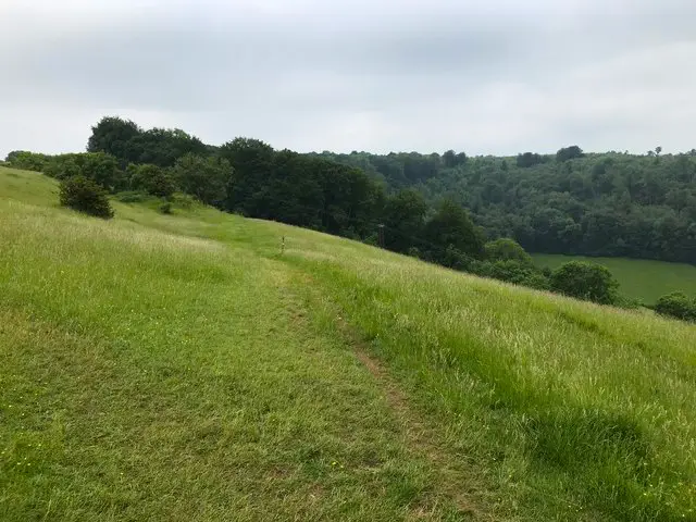
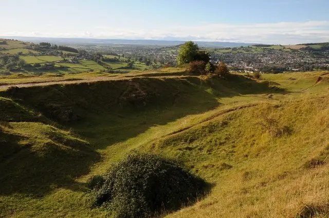
Although this is a short walk, you will need plenty of energy to climb to the summit of Cam Peak. Once there, the 360 degree views are stunning in all directions and well worth the hike up.

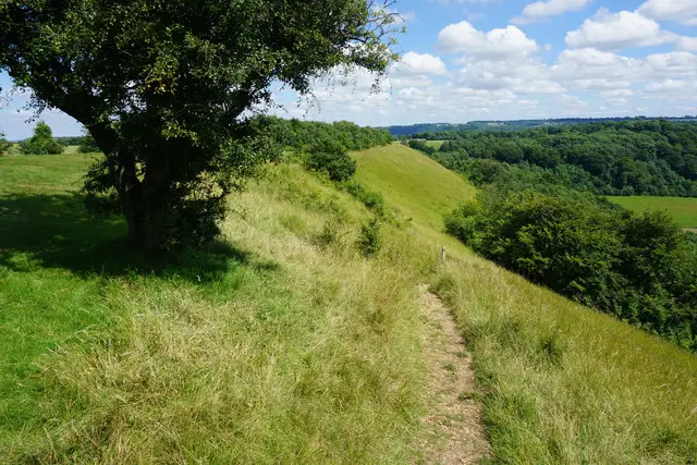
The route then takes you along Cam Long Down where the beautiful scenery and views just keep on delivering.

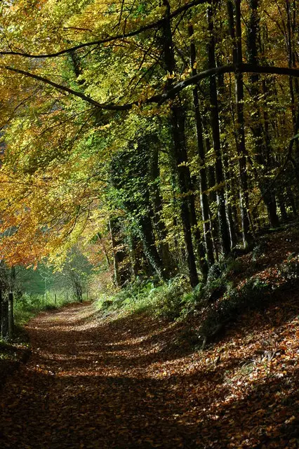
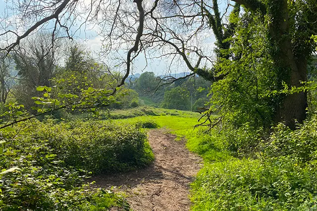
This route back to the start takes you down and along a woodland path but it's uneven terrain, can get muddy when wet and sections may be overgrown at times so you can always take main path back again instead.

Cam Peak Short Walk 4.3 Ratings and reviews 4 ratings · 4 reviews

Based on 4 user ratings

Community feedback

Overall rating4.3

A very popular walk

Dog friendly4.3 / 5
Path condition2.5 / 5
Buggy friendly1.0 / 5
Wheelchair friendly1.0 / 5
Toilet facilities1.0 / 5
Pub or café1.3 / 5
Route accuracy4.5 / 5
ClimbingPlenty of climbing
LivestockRarely any livestock
StilesNo stiles
Mud levelMay be muddy after wet weather

Real feedback from people who have completed this walk using the Gloucestershire Walks app.

First-hand experiences

User reviews

Walker review

Quite thick mud in places and had to climb a fallen tree on the path. Slippery in places but gave us a good laugh! Took longer than an hour taking baby steps through the mud!

Walker review

First time using the app, so far so good!

Walker review

Inital climb not for the faint-hearted but absolutely worth it for the views. Rest of walk through woodland and easy walking. Small free car park at the start. No pub on route, but 5 minute drive into Dursley afterwards and enjoyed breakfast at “The Bank” cafe.

Walker review

Bluebells absolutely everywhere. A beautiful walk with fabulous views. Get there early as the carpark got busy. Look forward to returning for the longer route.

Cam Peak walk 02

Cam Peak Epic Adventure Walk

Walk distance
5½ miles
Time
3 hours
Route type
Circular

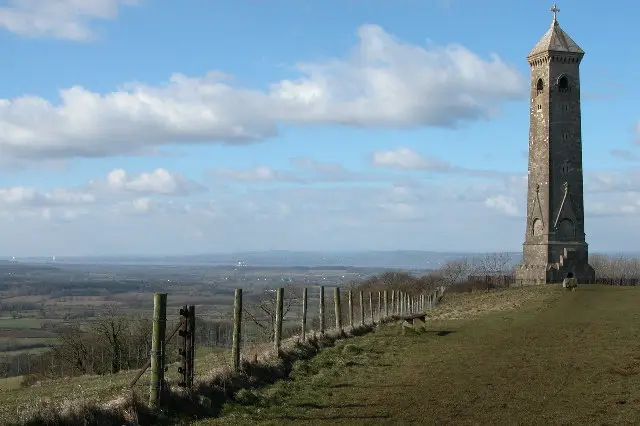
An epic hike with 3 peaks to climb! This extreme trek starts with a walk to the summit of Cam Peak and along Cam Long Down where the views are glorious and panoramic. You then head down into the valley and back up Uley Bury which is an ancient iron age hill fort with more stunning views.

If you have the energy and want some refreshments, you can take a diversion down into Uley to visit the lovely pub and then climb back up Uley Bury again.

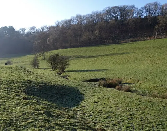
As you head back towards Cam Down, there is the option to also hike to the top of Downham Hill and back down before heading across open countryside and back to Cam Peak.

This is an energetic hike so please remember to take plenty of refreshments and wear appropriate clothing.

Refreshments:

The Old Crown, Uley

Cam Peak Epic Adventure Walk 5.0 Ratings and reviews 2 ratings · 2 reviews

Based on 2 user ratings

Community feedback

Overall rating5.0

An outstanding walk

Dog friendly4.5 / 5
Path condition5.0 / 5
Buggy friendly1.0 / 5
Wheelchair friendly1.0 / 5
Toilet facilities1.0 / 5
Pub or café1.0 / 5
Route accuracy5.0 / 5
ClimbingPlenty of climbing
LivestockSome livestock
StilesA stile or two
Mud levelMostly dry

Real feedback from people who have completed this walk using the Gloucestershire Walks app.

First-hand experiences

User reviews

Walker review

Lovely walk, not that difficult

Walker review

Fantastic walk to see all the bluebells in April. Yes its hilly but doable.

Navigate the walks

Gloucestershire Walks App

Follow the Cam Peak walks with GPS guidance

It's like sat-nav, but for footpaths.

Choose a walk and follow the pointer showing your live position on the route map, so you always know you're on the right path.

The app works without a phone signal, so you can keep following the route wherever the walk takes you.

Download the app

Download on the App Store Get it on Google Play
Gloucestershire Walks app showing the walker's live position on a route map

Designed to be simple

  • Choose a walk and follow the pointer
  • See your live position on the route map
  • Works without a phone signal
  • Includes 200 Gloucestershire walks
  • Free one-month trial
  • Available for iPhone and Android

Explore the area

Nearby walks

Explore the county

Gloucestershire walks map

Map data © OpenStreetMap contributors

Search Gloucestershire walks

See where the walks start, explore the area and tap a pin to find a route for your next adventure.

Search Gloucestershire walks
Expanded route map for Cam Peak Short Walk, a 1.75 mile circular walk in Gloucestershire