

Gloucestershire Walks

Ozleworth Walks & Route Maps

Ozleworth walk, Gloucestershire
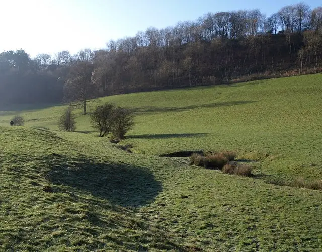
Ozleworth · Photo: Derek Harper

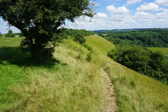
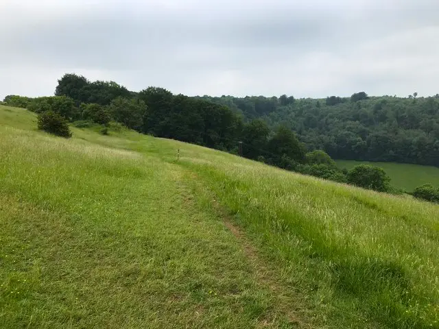
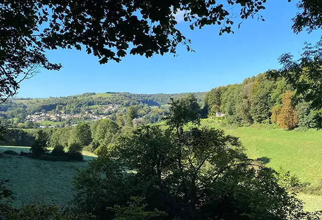
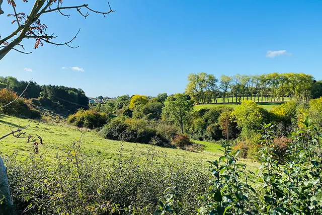
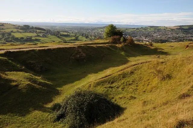
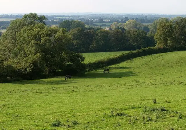
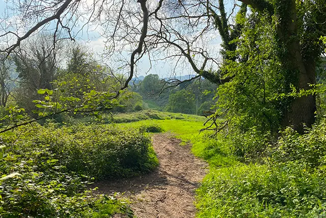
These walks around Ozleworth offer a wonderful way to explore the charm of the Cotswold countryside.

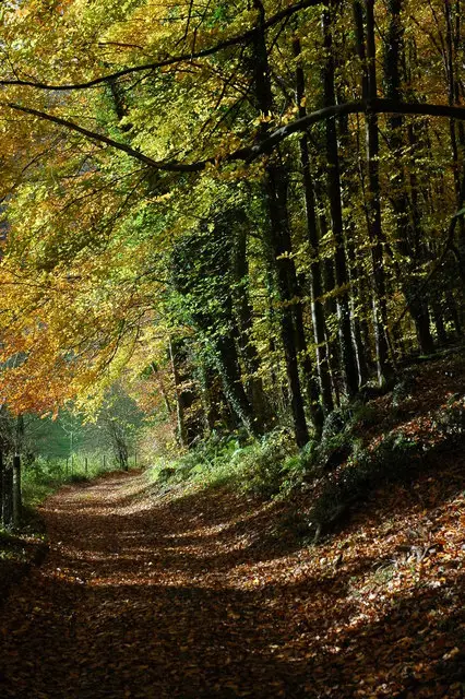
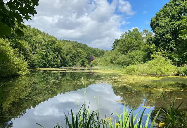
The routes take you through Ozleworth Parkland, past the historic 18th-century manor and 12th-century church, and along streams and woodland paths. Gentle hills and open fields provide lovely views, making these walks a peaceful and scenic escape into nature.

Download the Gloucestershire Walks App to follow these routes with real-time GPS navigation.

Download on the App Store Get it on Google Play

Walk information

Ozleworth Walk 1

Walk distance
2¼ miles
Time
1 hour
Route type
Circular

This scenic walks takes you through Ozleworth Parkland and the surrounding area.

You will spot the 18th Century Ozleworth Manor during the walk as well as the 12th Century church.

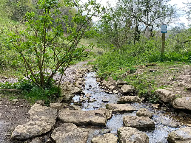
This enchanting walk encompasses streams, woodland and parkland.

Ozleworth Walk 1 4.5 Ratings and reviews 11 ratings · 10 reviews

Based on 11 user ratings

Community feedback

Overall rating4.5

A very popular walk

Dog friendly2.6 / 5
Path condition4.0 / 5
Buggy friendly1.6 / 5
Wheelchair friendly2.5 / 5
Toilet facilities1.0 / 5
Pub or café0.9 / 5
Route accuracy4.5 / 5
ClimbingSome climbing
LivestockLivestock likely
StilesA stile or two
Mud levelMay be muddy after wet weather

Real feedback from people who have completed this walk using the Gloucestershire Walks app.

First-hand experiences

User reviews

Walker review

Beautiful scenery but dogs have to be kept on a lead at all times and I had to lift my dogs over one of the stiles which would be tricky with larger dogs.

Walker review

A beautiful walk when you don’t want anything too strenuous but appreciate a secluded valley, streams, woodland and some gorgeous houses

Walker review

Such a pretty walk. The church is well worth a visit.

Walker review

This loop doesnt have as much variety as some others but is still an enjoyable short route down and up the coombe. It looks like there is a very established pheasant shoot here, so might be better to avoid during shooting season. The houses and grounds of Ozleworth Estate are stunning.

Walker review

Lovely walk with beautiful surroundings. We missed a turning which took us up a steep hill but if we had stuck to the map it was pretty flat and manageable all way round, will know for next time not to just follow the path. Lots of sheep in fields we walked through so dogs on lead all the way round. Also lots of pheasants when we went. Nice quiet walk.

Walker review

This was my first walk using the app. I found it to be really easy to use. The walk was exactly as described. Very pretty and plenty of parking. There is a lovely church near the carpark with beautiful stained glass windows which is an added interest.

Walker review

Dont take dogs if they like going off lead. They were to be lept on leads the entire time. Also no dog poo bins so had to carry the bags the entire time. ...The walk itself had amazing views and lovely to see the big houses and very well kept gardens.

Walker review

Good walk, but not for dogs, as there is livestock in all adjacent fields

Walker review

Lovely views and nice gentle undulating walk around the valley. Slightly overgrown in places. Lots of game birds so best to keep uour dog on a lead at all time.

Walker review

Parts of the route were overgrown, and in some places the route is difficult to see. Im a bigger man and some parts were also difficult to navigate. That being said it was another lovely walk and im really enjoying this app. More walks please.

Walk information

Ozleworth Walk 2

Walk distance
5¾ miles
Time
3 hours
Route type
Circular

This Ozleworth walk is a lovely long walk going through the Ozleworth park and passing the manor.

This walk has some hills and takes you through the open countryside in the park and also through lovely woodlands following a little stream.

Ozleworth Walk 2 3.7 Ratings and reviews 6 ratings · 4 reviews

Based on 6 user ratings

Community feedback

Overall rating3.7

A well-liked walk

Dog friendly2.5 / 5
Path condition3.0 / 5
Buggy friendly1.2 / 5
Wheelchair friendly1.2 / 5
Toilet facilities1.5 / 5
Pub or café1.5 / 5
Route accuracy3.8 / 5
ClimbingPlenty of climbing
LivestockLivestock likely
StilesA stile or two
Mud levelMay be muddy after wet weather

Real feedback from people who have completed this walk using the Gloucestershire Walks app.

First-hand experiences

User reviews

Walker review

Two very overgrown nettle sections of path (luckily we had scissors) and diverted route to an alternative path when another section was over grown. Will show this on my Facebook post. Otherwise it was a lovely walk.

Walker review

Another lovely walk. Nice mixture of woodland, fields and meadows. Large majority of the route very well maintained and easy to follow. We chose to go clockwise, some short steep sections in the first 20 minutes then another at the end. No cattle (May 2025) but lits of sheep and lambs. Gorgeous views.

Walker review

It would be good to see a suggested direction to do circular walks and a written description of the start point

Walker review

Not many hills mainly flat. There was a lot of sheep, so the dog was on a short lead for over half the walk. 4 styles - a couple were difficult with the dog. Paths were not well kept in places and you will definately need the map working as the route is accurate, but not obvious. Enjoyable simple walk with some interesting buildings on route.

Navigate the walks

Gloucestershire Walks App

Follow the Ozleworth walks with GPS guidance

It's like sat-nav, but for footpaths.

Choose a walk and follow the pointer showing your live position on the route map, so you always know you're on the right path.

The app works without a phone signal, so you can keep following the route wherever the walk takes you.

Download the app

Download on the App Store Get it on Google Play
Gloucestershire Walks app showing the walker's live position on a route map

Designed to be simple

  • Choose a walk and follow the pointer
  • See your live position on the route map
  • Works without a phone signal
  • Includes 200 Gloucestershire walks
  • Free one-month trial
  • Available for iPhone and Android

Explore the area

Nearby walks

Explore the county

Gloucestershire walks map

Map data © OpenStreetMap contributors

Search Gloucestershire walks

See where the walks start, explore the area and tap a pin to find a route for your next adventure.

Search Gloucestershire walks
Expanded route map for Ozleworth Walk 1, a 2.25 mile circular walk in Gloucestershire