

Gloucestershire Walks

Wotton-under-Edge Walks & Route Maps

Wotton-under-Edge walk, Gloucestershire
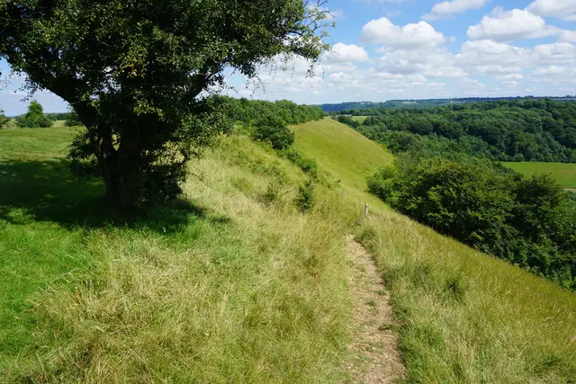
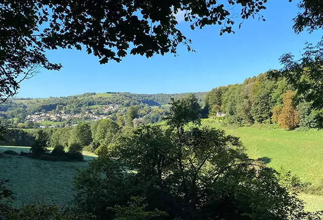
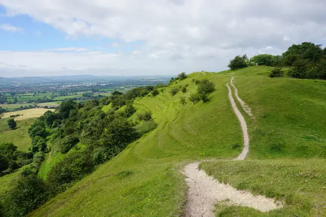
Wotton-under-Edge · Photo: Philip Halling

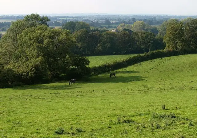
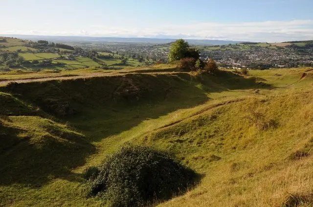
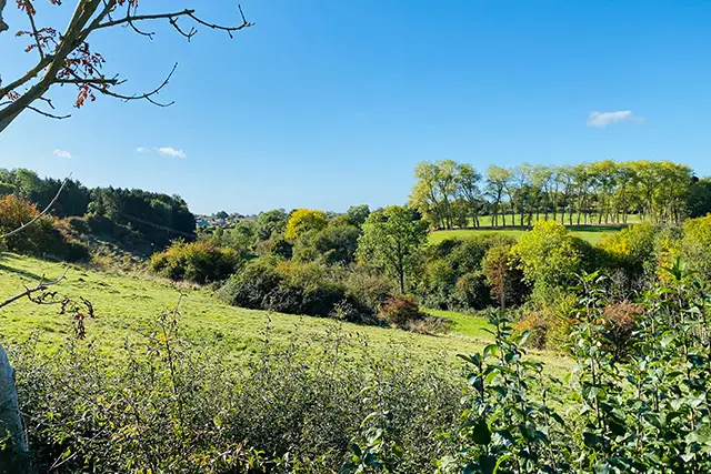
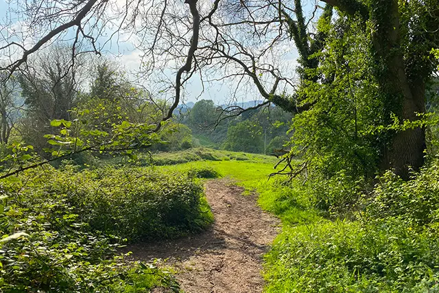
These walks explore the charming market town of Wotton-under-Edge and the surrounding Cotswold countryside, offering a mix of woodland trails, open hills, and scenic viewpoints.

Routes range from a shorter stroll along the edge of Westridge Wood to longer, more energetic walks that climb Coombe Hill and the iconic Tyndale Monument, with plenty of opportunities to enjoy the town’s pubs, cafés, and restaurants along the way.

Download the Gloucestershire Walks App to follow these routes with real-time GPS navigation.

Download on the App Store Get it on Google Play

Walk information

Wotton-under-Edge Walk 1

Walk distance
2½ miles
Time
1.5 hours
Route type
Circular

This is our shortest Wotton-under-Edge walk which starts outside the town and gives you the option to explore the lovely surrounding countryside and then visit the town on your journey.

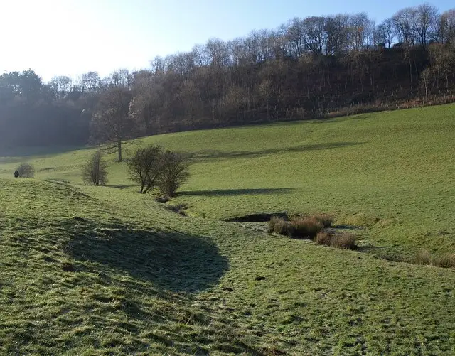
The route takes you past Wotton Hill, along a section of the Cotswold Way and to the edge of Westridge Wood. There is some road walking, hill walking and inclines on this route, so some energy is required.

Wotton-under-Edge Walk 1 4.7 Ratings and reviews 3 ratings · 1 review

Based on 3 user ratings

Community feedback

Overall rating4.7

An outstanding walk

Dog friendly4.7 / 5
Path condition3.7 / 5
Buggy friendly1.0 / 5
Wheelchair friendly1.0 / 5
Toilet facilities2.0 / 5
Pub or café3.0 / 5
Route accuracy4.0 / 5
ClimbingPlenty of climbing
LivestockRarely any livestock
StilesA stile or two
Mud levelMay be muddy after wet weather

Real feedback from people who have completed this walk using the Gloucestershire Walks app.

First-hand experiences

User reviews

Walker review

Lovely walk which was flat for half of it, uphill for a quarter and down hill for a quarter. Some lovely views from the top. Quite boggy in the winter. Mostly dog friendly but large dogs might struggle at a couple of the stiles.

Walk information

Wotton-under-Edge Walk 2

Walk distance
3¾ miles
Time
2 hours
Route type
Circular

This Wotton-under-Edge walk is similar to the first but extends further into Westridge Wood.

As well as being able to explore the market town of Wotton-under-Edge, this route will guide you along woodland paths where you will feel nature all around, past Brackenbury Ditches Hillfort and up Coombe Hill.

There is some road walking and steep segments.

Wotton-under-Edge Walk 2 4.0 Ratings and reviews 1 rating · 1 review

Based on 1 user rating

Community feedback

Overall rating4.0

A very popular walk

Dog friendly5.0 / 5
Path condition5.0 / 5
Buggy friendly1.0 / 5
Wheelchair friendly1.0 / 5
Toilet facilities1.0 / 5
Pub or café3.0 / 5
Route accuracy5.0 / 5
ClimbingPlenty of climbing
LivestockSome livestock
StilesA few stiles on route
Mud levelBoots recommended

Real feedback from people who have completed this walk using the Gloucestershire Walks app.

First-hand experiences

User reviews

Walker review

Some sections were not clear to navigate. Coming down into town was difficult to follow the route

Walk information

Wotton-under-Edge Walk 3

Walk distance
4½ miles
Time
2 hours
Route type
Circular

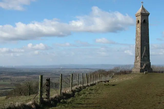
This is our longest Wotton-under-Edge walk which has all of the elements of the other two walks but it also takes you to Tyndale Monument where you will be rewarded with wonderful views over the Cotswold countryside.

Tyndale Monument is a large Tower at the top of the hill at North Nibley in Gloucestershire which was built in 1866 in honour of William Tyndale, an early translator of the New Testament.

Like the other two routes, this energetic walk will also take you through the magical Westridge woods, along a section of The Cotswold Way and through the town of Woot-under-Edge. There is some road walking, hills and steep sections on this walk and it may get muddy at times.

Refreshments:

There are plenty of pubs, cafes and Restaurants in Wotton-under-Edge

Wotton-under-Edge Walk 3 4.2 Ratings and reviews 5 ratings · 2 reviews

Based on 5 user ratings

Community feedback

Overall rating4.2

A very popular walk

Dog friendly4.8 / 5
Path condition3.8 / 5
Buggy friendly1.8 / 5
Wheelchair friendly1.4 / 5
Toilet facilities1.6 / 5
Pub or café2.4 / 5
Route accuracy3.8 / 5
ClimbingPlenty of climbing
LivestockRarely any livestock
StilesA few stiles on route
Mud levelMay be muddy after wet weather

Real feedback from people who have completed this walk using the Gloucestershire Walks app.

First-hand experiences

User reviews

Walker review

I enjoyed the variety of terrain and great views from the monument worth visiting. Plenty of spots for a picnic but also popular with dog walkers.

Walker review

Park in The Chippings car park. Try the Falcon in wotton. We missed one of the paths which threw us off route but easy to get back on it.

Navigate the walks

Gloucestershire Walks App

Follow the Wotton-under-Edge walks with GPS guidance

It's like sat-nav, but for footpaths.

Choose a walk and follow the pointer showing your live position on the route map, so you always know you're on the right path.

The app works without a phone signal, so you can keep following the route wherever the walk takes you.

Download the app

Download on the App Store Get it on Google Play
Gloucestershire Walks app showing the walker's live position on a route map

Designed to be simple

  • Choose a walk and follow the pointer
  • See your live position on the route map
  • Works without a phone signal
  • Includes 200 Gloucestershire walks
  • Free one-month trial
  • Available for iPhone and Android

Explore the area

Nearby walks

Explore the county

Gloucestershire walks map

Map data © OpenStreetMap contributors

Search Gloucestershire walks

See where the walks start, explore the area and tap a pin to find a route for your next adventure.

Search Gloucestershire walks
Expanded route map for Wotton-under-Edge Walk 1, a 2.5 mile circular walk in Gloucestershire