
At a glance
Leighterton Walk
- Distance
- 4.5 miles
- Estimated time
- 2.5 hours
- Route type
- Circular
- GPS app guided
- Yes
- Parking
- Roadside parking at start 51.61729, -2.25661
- Characteristics
- Woodland, Countryside
Gloucestershire Walks

This walk from Leighterton takes you through a mix of open fields, quiet country lanes, and the tranquil paths of Westonbirt Arboretum.
This walk offers peaceful surroundings and beautiful scenery, with a short section of road walking and the option to explore the Arboretum for a small entry fee.
Download the Gloucestershire Walks App to follow this route with real-time GPS navigation.


At a glance
The walk
A lovely walk around both open fields, country lanes and through the Westonbirt Arboretum.
In Westonbirt there are long stretches of path with beautiful surroundings and a very peaceful atmosphere.
Please note that there is some road walking on this route and if you wish to explore the Arboretum, there is a small fee to enter, which can change in price depending on what time of year you go.
Based on 5 user ratings
A very popular walk
Very dog friendly
Generally well maintained
Hard going with a buggy
Not wheelchair accessible
Very limited facilities
Not much on route
Spot on
Real feedback from people who have completed this walk using the Gloucestershire Walks app.
First-hand experiences
The start of this route was on a quiet lane for about a mile and a bit but once off the road the rest of the journey was on tracks and paths and our dog thoroughly enjoyed herself. Only met a couple of other walkers so a very quiet route with lovely views. Thank you for a superb app and we are looking forward to doing more.
I am very pleased with this app, as a solo hiker it is five star!
We really enjoyed this walk. We will definitely do it again.
A lot of road walking but not a lot of traffic, but you need to be careful as the roads are narrow. A really nice walk through the Arboretum, one small bit of trail overgrown with nettles
Comments from walkers who have completed the Leighterton walk.
Navigate the walks
The easiest way to follow this route is with the Gloucestershire Walks app. Choose the walk and follow the pointer showing your live position on the route map, so you can see you're on the right path.
The app works without a phone signal, so you can keep following the route wherever the walk takes you.

Explore the area
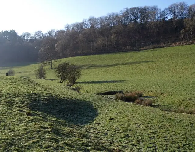 2.25-5.75 miles
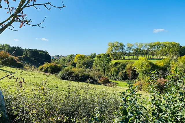 1.75-6.75 miles
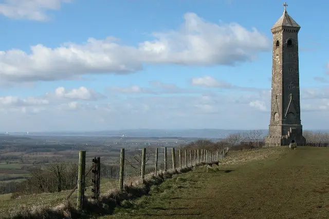 2.5-4.5 miles
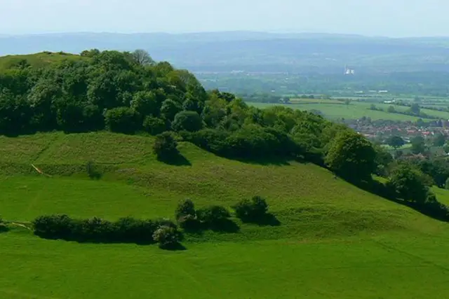 2-4.25 miles
 1.75-5.5 miles
 1.75-7.5 miles
 3 miles
 3 miles
 2.25-4.5 miles
 2.5 miles
 1.5 miles
 2.75 miles
 2.5 miles
 2.5 miles
 1.75-3.25 miles
Explore the county
See where the walks start, explore the area and tap a pin to find a route for your next adventure.
Search Gloucestershire walks