

Gloucestershire Walks

Uley Walks & Route Maps

Uley walk, Gloucestershire
Uley · Photo: Brian Robert Marshall

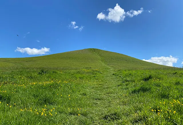
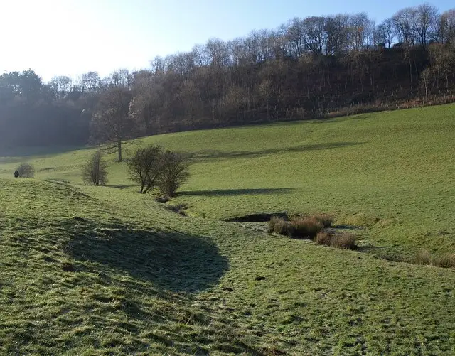
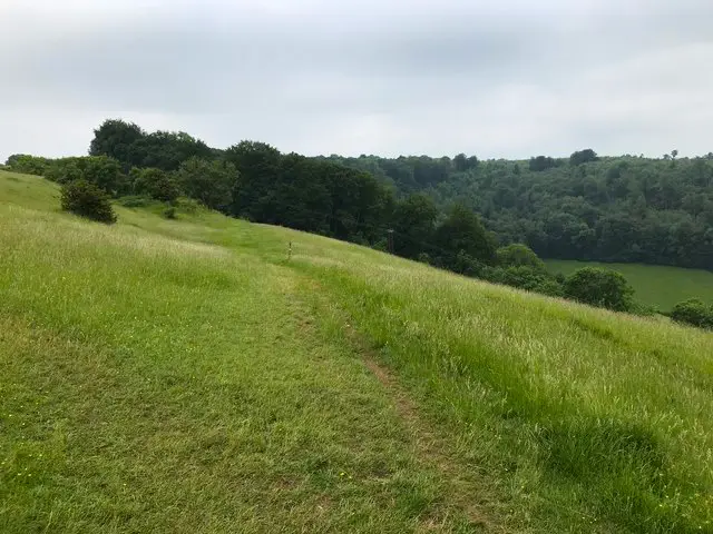
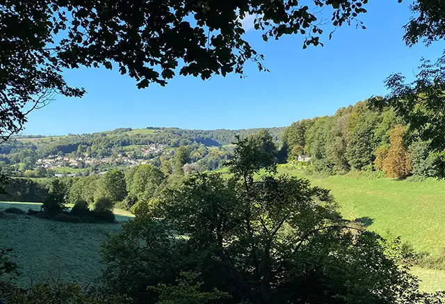
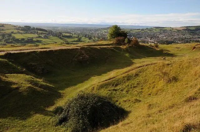
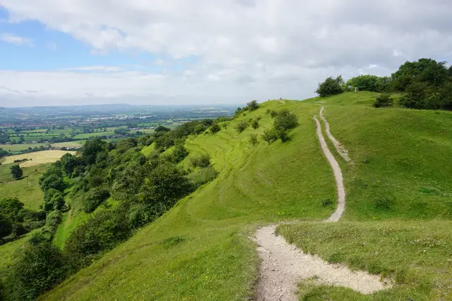
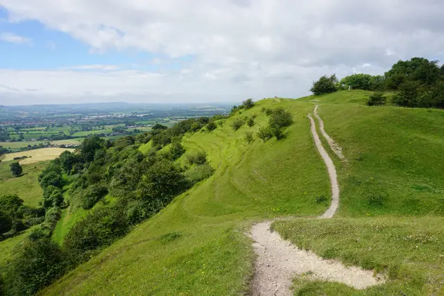
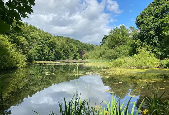
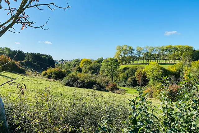
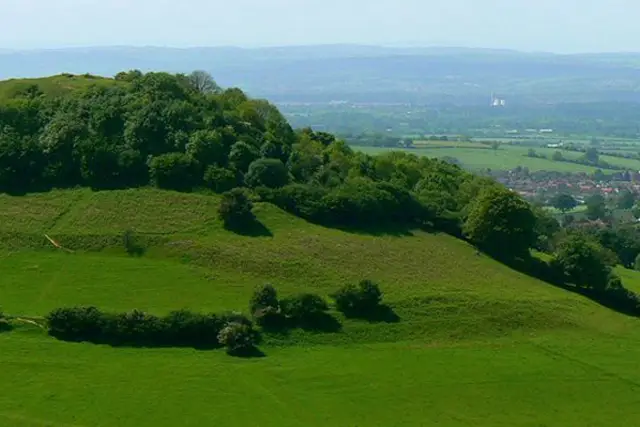
These walks all start from the picturesque village of Uley and offer a mix of open fields, woodland paths, and challenging climbs up to the Iron Age hill fort of Uley Bury.

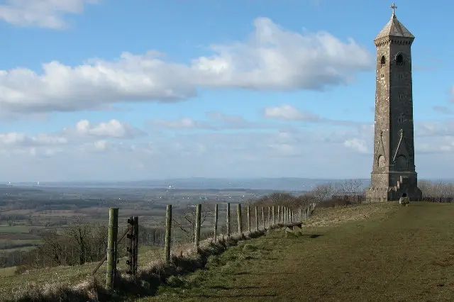
From the top, you can enjoy sweeping views across the Severn Vale, with routes ranging from a shorter, energetic stroll to longer, more strenuous adventures along the Cotswold Way and surrounding ridges. All walks finish back in the village, where a welcoming pub is the perfect place to relax and refuel.

Download the Gloucestershire Walks App to follow these routes with real-time GPS navigation.

Download on the App Store Get it on Google Play

Walk information

Uley Walk 1

Walk distance
2 miles
Time
1 hour
Route type
Circular

This is the shortest of three walks from the Church in Uley and although it's shorter, it still has a steep slope up to the old hill fort of Uley Bury.

The walk takes you out to open fields and then a climb through woodland to the top of the hill. There are some beautiful views across the Severn Vale from the long flat topped hill.

There is a pub in the village for refreshments after this energetic walk!

Uley Walk 1 No ratings yet Be the first - rate this walk in the Gloucestershire Walks App

Walk information

Uley Walk 2

Walk distance
3¼ miles
Time
1.5 hours
Route type
Circular

This is the second Uley walk from the Church and it's challenging at times without being too long.

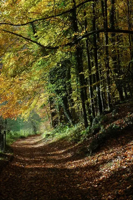
The walk takes you out to open countryside and then into pretty woodlands which become steep up to the hill fort of Uley Bury.

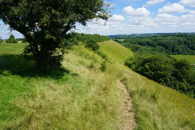
There are some wonderful views from the top of this iron age hill fort across the Severn Vale.

The walk continues across open farmland before returning via the Uley Bury back to the start.

There is a short amount of road walking along a quiet lane during the walk as well as some steep ascents and descents.

Uley Walk 2 4.3 Ratings and reviews 3 ratings · 2 reviews

Based on 3 user ratings

Community feedback

Overall rating4.3

A very popular walk

Dog friendly4.3 / 5
Path condition2.7 / 5
Buggy friendly1.0 / 5
Wheelchair friendly2.0 / 5
Toilet facilities2.0 / 5
Pub or café2.0 / 5
Route accuracy5.0 / 5
ClimbingPlenty of climbing
LivestockSome livestock
StilesA few stiles on route
Mud levelBoots recommended

Real feedback from people who have completed this walk using the Gloucestershire Walks app.

First-hand experiences

User reviews

Walker review

We walked this roite March 2026, you will beed waterproof sturdy boots as alot of the paths were very wet and boggy. Some of the inclines were very steep so i would say this walk isn’t for anyone with mobility issues. Views at the top of the climb were lovely and i look forward to doing this again when the ground has dried up.

Walker review

Beautiful views, some steep sections but a good workout! Would definitely recommend the Vestry Cafe (next to Prema Arts) in Uley. Wonderful food.

Walk information

Uley Walk 3

Walk distance
4¼ miles
Time
2 hours
Route type
Circular

This is the longest of three walks from Uley village and is a strenuous walk with lots of beautiful views.

The start of the walk takes you across open fields then into pretty woodlands which become steep leading up to Uley Bury.

The hill is steep but provides stunning views over the Severn Vale. The walk then follows the Cotswold Way, eventually taking you along the ridge at Cam Long Down and on towards Cam Peak, another hill you can climb, although this walk skirts away from that taking you back across countryside to Uley hill fort.

There is a small amount of road walking on quiet lanes. The walk can be quite challenging with some steep ascents and descents but there is a pub in Uley to refuel after this energetic walk.

Refreshments:

Old Crown, Uley

Uley Walk 3 4.5 Ratings and reviews 2 ratings · 2 reviews

Based on 2 user ratings

Community feedback

Overall rating4.5

An outstanding walk

Dog friendly4.0 / 5
Path condition4.0 / 5
Buggy friendly1.0 / 5
Wheelchair friendly1.0 / 5
Toilet facilities1.0 / 5
Pub or café4.0 / 5
Route accuracy5.0 / 5
ClimbingSteep climbs
LivestockRarely any livestock
StilesSeveral stiles
Mud levelMay be muddy after wet weather

Real feedback from people who have completed this walk using the Gloucestershire Walks app.

First-hand experiences

User reviews

Walker review

Views are stunning, but the ascents are hard work!

Walker review

Loved it! Great views, but definitely a challenge!

Navigate the walks

Gloucestershire Walks App

Follow the Uley walks with GPS guidance

It's like sat-nav, but for footpaths.

Choose a walk and follow the pointer showing your live position on the route map, so you always know you're on the right path.

The app works without a phone signal, so you can keep following the route wherever the walk takes you.

Download the app

Download on the App Store Get it on Google Play
Gloucestershire Walks app showing the walker's live position on a route map

Designed to be simple

  • Choose a walk and follow the pointer
  • See your live position on the route map
  • Works without a phone signal
  • Includes 200 Gloucestershire walks
  • Free one-month trial
  • Available for iPhone and Android

Explore the area

Nearby walks

Explore the county

Gloucestershire walks map

Map data © OpenStreetMap contributors

Search Gloucestershire walks

See where the walks start, explore the area and tap a pin to find a route for your next adventure.

Search Gloucestershire walks
Expanded route map for Uley Walk 1, a 2 mile circular walk in Gloucestershire