

Staffordshire Walks

Tutbury Walks and Route Maps

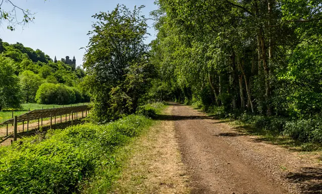
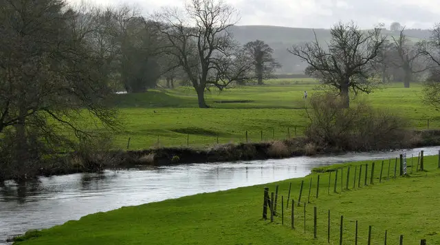
Ruined walls of Tutbury Castle rising above the River Dove and riverside paths in the Staffordshire village of Tutbury
Tutbury · Photo: Alan Murray-Rust

Tutbury is a large village in east Staffordshire, sitting on the River Dove right on the Derbyshire border and dominated by the ruins of its castle. It was a centre of Mercian authority in Anglo-Saxon times and is listed as a borough in the Domesday Survey of 1086. Today it is a largely residential place with Georgian and Regency buildings, the half-timbered Dog and Partridge Hotel and a scattering of antique and craft shops. It also lies within the National Forest.

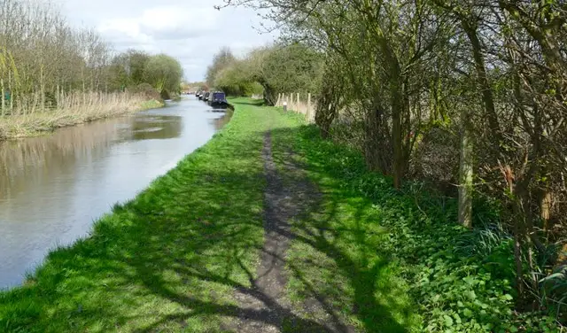
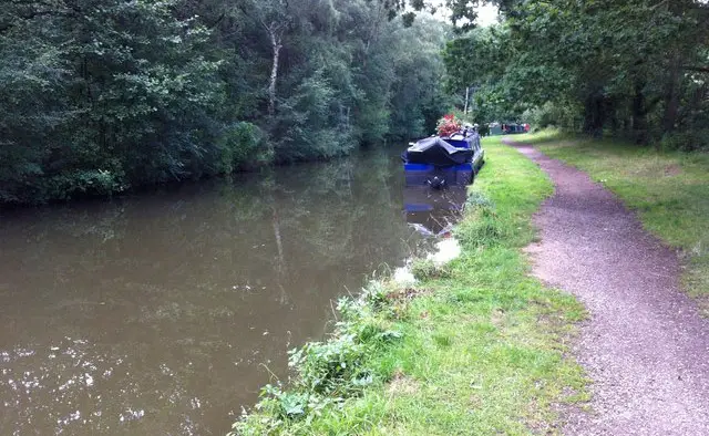
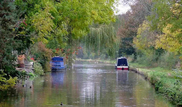
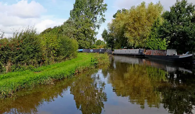
Our Tutbury walk is a short, flat circuit built around the water. It follows the River Dove, which forms the county boundary between Tutbury and the neighbouring village of Hatton, and passes the Mill Fleam, a mill channel fed by a weir above the village.

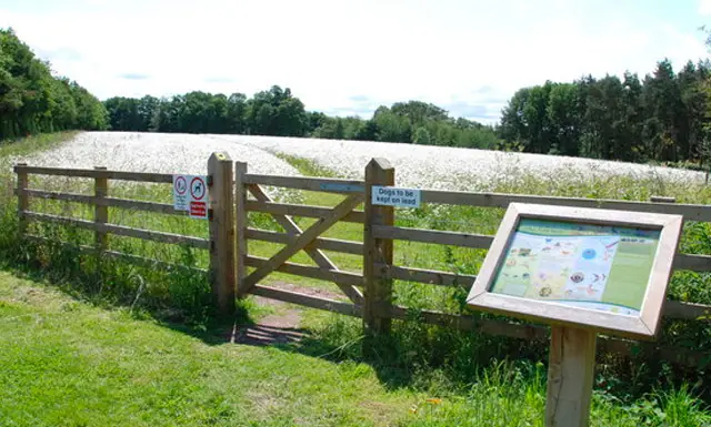
With almost no climbing it makes an easy outing for a short spell of fresh air, and there is plenty to read and look at on the heritage boards near the start. For more walks like this, take a look at the Staffordshire Walks app.

Download the Staffordshire Walks App to follow this route with real-time GPS navigation.

Download on the App Store Get it on Google Play

On a computer? Scan the QR code with your phone's camera to get the Staffordshire Walks app.

Tutbury walk 01

Tutbury Castle and River Dove Short Walk

Walk distance
1¼ miles
Time
30 mins
Route type
Circular

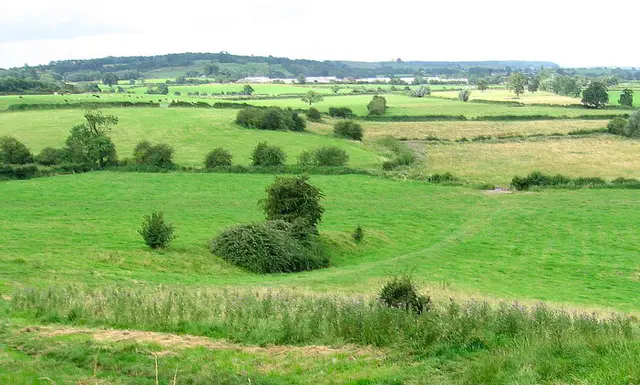
A short, flat stroll that takes you alongside the pretty River Dove, the village's of Tutbury's great landmark. Heritage information boards at the start set the scene before you head towards the water.

Much of the route runs beside the Dove, which marks the county boundary with Derbyshire, with the neighbouring village of Hatton just across the river. You pass the Mill Fleam, the old leat that once fed Tutbury's corn mill, and a weir on the river above the village.

Tutbury Castle and River Dove Short Walk No ratings yet Be the first - rate this walk in the Staffordshire Walks App

Navigate the walks

Staffordshire Walks App

Follow the Tutbury walk with GPS guidance

It's like sat-nav, but for footpaths.

Choose a walk and follow the pointer showing your live position on the route map, so you always know you're on the right path.

The app works without a phone signal, so you can keep following the route wherever the walk takes you.

Download the app

Download on the App Store Get it on Google Play

On a computer? Scan the QR code with your phone's camera to get the Staffordshire Walks app.

Staffordshire Walks app showing the walker's live position on a route map

Designed to be simple

  • Choose a walk and follow the pointer
  • See your live position on the route map
  • Works without a phone signal
  • Includes 150+ Staffordshire walks
  • Free one-month trial
  • Available for iPhone and Android

Explore the area

Nearby walks

Explore the county

Staffordshire walks map

Map data © OpenStreetMap contributors

Search Staffordshire walks

See where the walks start, explore the area and tap a pin to find a route for your next adventure.

Search Staffordshire walks
Expanded route map for Tutbury Castle and River Dove Short Walk, a 1.25 mile circular walk in Staffordshire