

Staffordshire Walks

Jackson Bank Walks and Route Maps

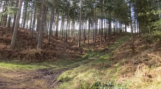
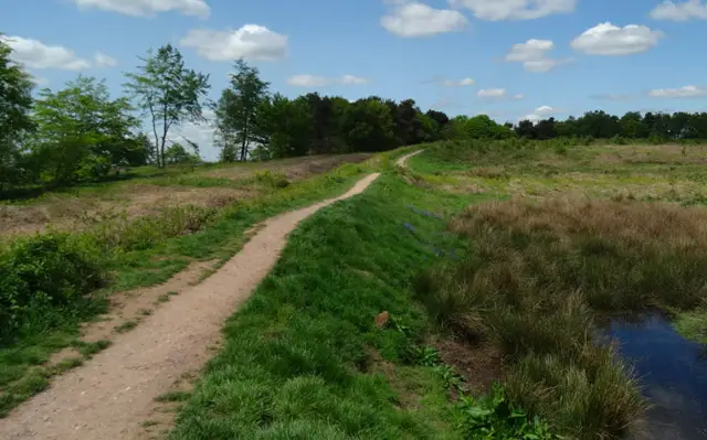
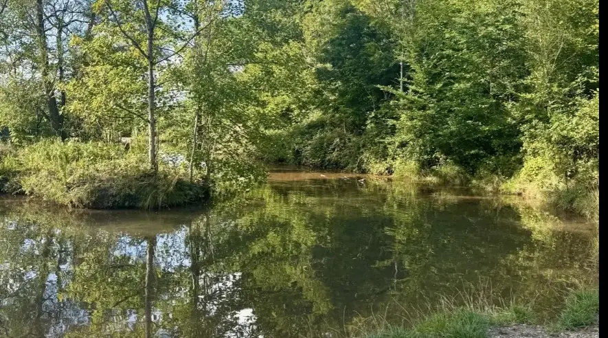
A woodland path among tall trees in the National Forest near Hoar Cross, Staffordshire
Jackson Bank

Jackson Bank is a woodland car park on Brakenhurst Road, close to the hamlet of Hoar Cross in east Staffordshire. It sits within the National Forest and is the start of the longer Needwood circular walk, which the National Forest describes as showing the rural and historic character of Needwood Forest, with ancient woodland, old parklands, farmland and estate forestry.

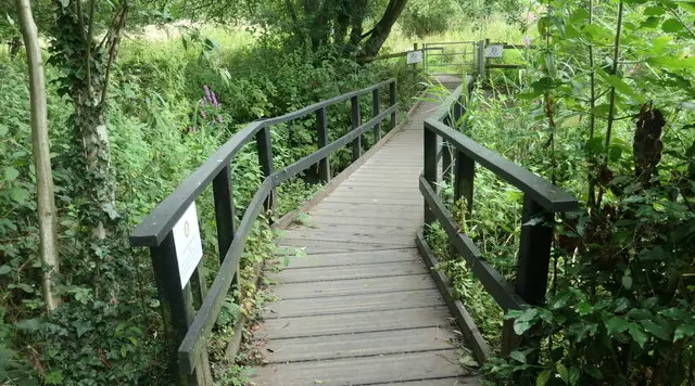
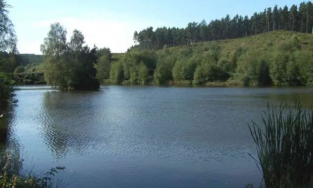
Our route here is a short two-mile circuit that stays almost entirely among trees. It passes along Brakenhurst Road and through the wooded area of Braken Hurst, where there is a little water beside the path. The gradients are gentle, so it works well as a quiet, unhurried outing for a morning or afternoon.

Walking in woodland is lovely in every season, though paths can be soft after rain, so wear footwear that can cope with mud. For more walks like this, take a look at the Staffordshire Walks app.

Download the Staffordshire Walks App to follow this route with real-time GPS navigation.

Download on the App Store Get it on Google Play

On a computer? Scan the QR code with your phone's camera to get the Staffordshire Walks app.

Jackson Bank walk 01

Jackson Bank Woodland Walk

Walk distance
2 miles
Time
1 hour
Route type
Circular

A short, easy-going woodland walk in the heart of the National Forest, taking in the Brakenhurst Wood and Jackson Bank.

Almost all of the route is under trees, so it feels sheltered and quiet, and it makes a pleasant outing in any season.

The ups and downs are gentle, with only a modest climb here and there, so it suits a relaxed morning or afternoon stroll.

As it is mostly woodland, paths may be soft or muddy after wet weather, so sturdy footwear is a good idea.

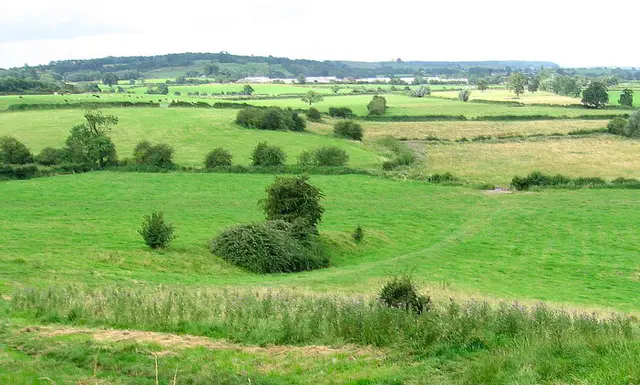
Jackson Bank Woodland Walk No ratings yet Be the first - rate this walk in the Staffordshire Walks App

Navigate the walks

Staffordshire Walks App

Follow the Jackson Bank walk with GPS guidance

It's like sat-nav, but for footpaths.

Choose a walk and follow the pointer showing your live position on the route map, so you always know you're on the right path.

The app works without a phone signal, so you can keep following the route wherever the walk takes you.

Download the app

Download on the App Store Get it on Google Play

On a computer? Scan the QR code with your phone's camera to get the Staffordshire Walks app.

Staffordshire Walks app showing the walker's live position on a route map

Designed to be simple

  • Choose a walk and follow the pointer
  • See your live position on the route map
  • Works without a phone signal
  • Includes 150+ Staffordshire walks
  • Free one-month trial
  • Available for iPhone and Android

Explore the area

Nearby walks

Explore the county

Staffordshire walks map

Map data © OpenStreetMap contributors

Search Staffordshire walks

See where the walks start, explore the area and tap a pin to find a route for your next adventure.

Search Staffordshire walks
Expanded route map for Jackson Bank Woodland Walk, a 2 mile circular walk in Staffordshire