

Staffordshire Walks

Hixon Walks & Route Maps

Hixon walk, Staffordshire
Hixon · Photo: Roger Kidd

Set in the gentle countryside around Hixon, these walks offer two very different ways to explore the area.

One route takes you on a fascinating loop around the old RAF airfield, where the remains of wartime runways hint at the village’s role in the Second World War, while the other heads south into open farmland with far-reaching views and a peaceful stretch along the Trent & Mersey Canal.

Whichever option you choose, there are a couple of road crossings to take care with, and a welcoming village pub waiting at the end.

Download the Staffordshire Walks App to follow these routes with real-time GPS navigation.

Download on the App Store Get it on Google Play

Walk information

Hixon Walk 1

Walk distance
4 miles
Time
2 hours
Route type
Circular

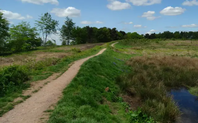
This first route from the village of Hixon is not the prettiest of walks, but it is one that is interesting if you are into military history.

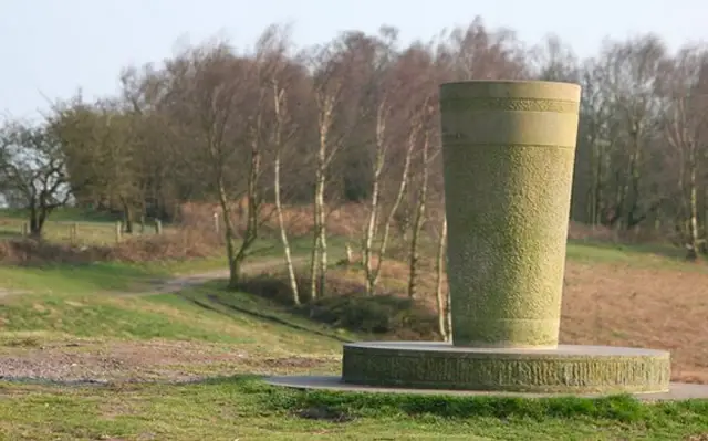
The walk basically takes you out of the village to the north and then on a loop around an old disused RAF airfield. The station, with it's now derelict runways, was operational in 1942 and sent many Wellington Bombers on night raids during the second world war.

There is a nice pub opposite the car park for refreshments after your historical journey.

Hixon Walk 1 No ratings yet Be the first - rate this walk in the Staffordshire Walks App

Walk information

Hixon Walk 2

Walk distance
4½ miles
Time
2 hours
Route type
Circular

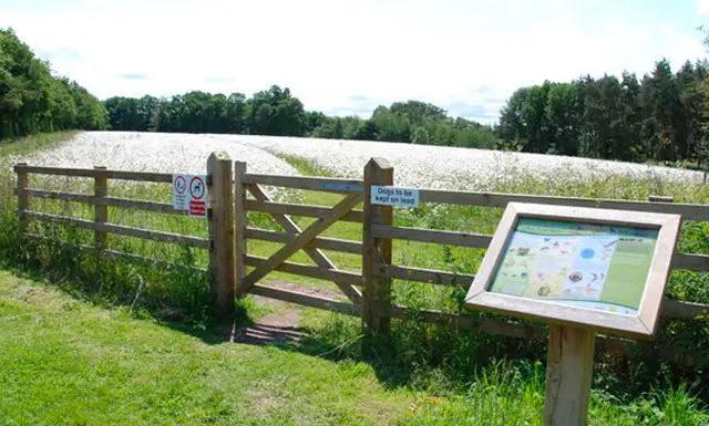
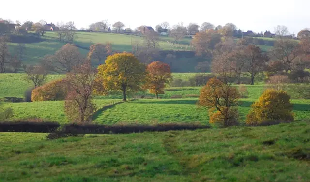
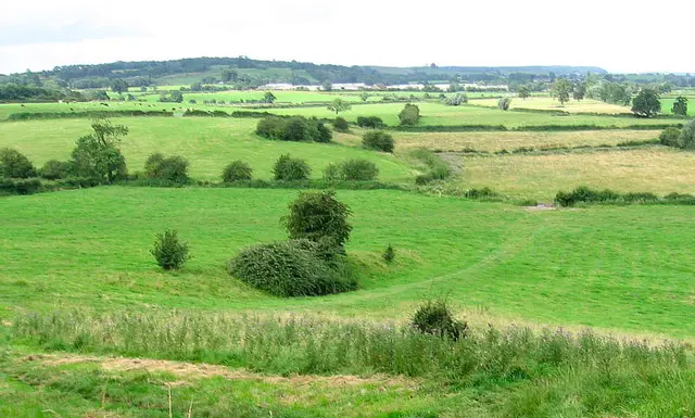
The second route is the prettier walk option from this location and it takes you out on a varied walking adventure in the countryside to the South of the village of Hixon.

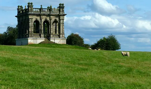
If you head clockwise it first takes you on a long and steadily uphill walk along a quiet county road called 'Egg Lane' that eventually develops into some rewarding views as you walk.

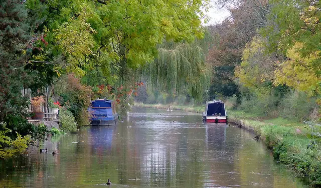
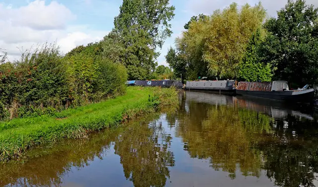
You then loop around and stroll through some more lovely open countryside before eventually reaching the Trent & Mersey Canal for a bit of peaceful canalside walking before heading back along the roadside path back into the village.

You do have to cross a busy road a couple of times on the route so please be careful here, and there is a pub opposite the car park for refreshments after your walk.

Hixon Walk 2 5.0 Ratings and reviews 1 rating

Based on 1 user rating

Community feedback

Overall rating5.0

An outstanding walk

Dog friendly4.0 / 5
Path condition4.0 / 5
Buggy friendly3.0 / 5
Wheelchair friendly2.0 / 5
Toilet facilities1.0 / 5
Pub or café5.0 / 5
Route accuracy5.0 / 5
ClimbingGentle slopes
LivestockSome livestock
StilesNo stiles
Mud levelBoots recommended

Real feedback from people who have completed this walk using the Staffordshire Walks app.

Navigate the walks

Staffordshire Walks App

Follow the Hixon walks with GPS guidance

It's like sat-nav, but for footpaths.

Choose a walk and follow the pointer showing your live position on the route map, so you always know you're on the right path.

The app works without a phone signal, so you can keep following the route wherever the walk takes you.

Download the app

Download on the App Store Get it on Google Play
Staffordshire Walks app showing the walker's live position on a route map

Designed to be simple

  • Choose a walk and follow the pointer
  • See your live position on the route map
  • Works without a phone signal
  • Includes 150+ Staffordshire walks
  • Free one-month trial
  • Available for iPhone and Android

Explore the area

Nearby walks

Explore the county

Staffordshire walks map

Map data © OpenStreetMap contributors

Search Staffordshire walks

See where the walks start, explore the area and tap a pin to find a route for your next adventure.

Search Staffordshire walks
Expanded route map for Hixon Walk 1, a 4 mile circular walk in Staffordshire