

Staffordshire Walks

Musden Low Walks and Route Maps

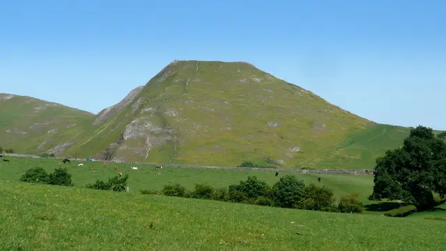
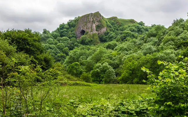
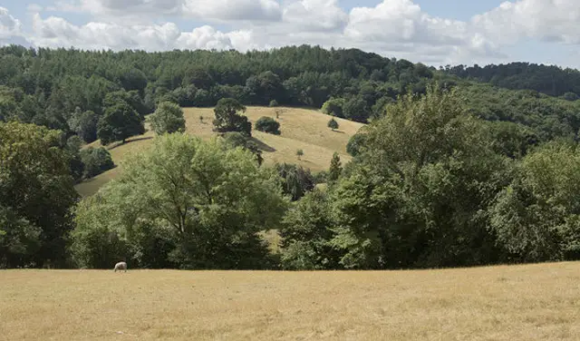
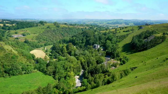
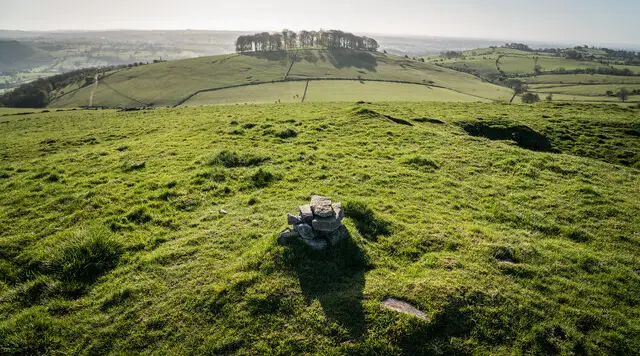
Open hill country in the Staffordshire Moorlands around Musden Low, with fields and a rounded hilltop on the skyline
Musden Low · Photo: Brian Deegan

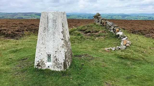
Musden Low is a hill in the Staffordshire Moorlands, close to Waterhouses and within reach of the Manifold Valley and Thor's Cave. The summit stands at about 359 m and carries a trig point, along with four ancient burial mounds on or near the top.

We have two circular walks here, both starting from a small layby. The shorter route is about 2.5 miles and the longer is about 3.5 miles. Each begins with a steady climb onto the high ground, passes close to Musden Low and visits Hinkley Wood, with the longer walk adding a few more moderate climbs.

They are short enough for a morning or afternoon, and suit anyone who enjoys open hill country and wide views. For more walks like this, take a look at the Staffordshire Walks app.

Download the Staffordshire Walks App to follow these routes with real-time GPS navigation.

Download on the App Store Get it on Google Play

On a computer? Scan the QR code with your phone's camera to get the Staffordshire Walks app.

Musden Low walk 01

Musden Low Short Walk

Walk distance
2½ miles
Time
1.5 hours
Route type
Circular

A short circuit on the hill country of the Staffordshire Moorlands, built around Musden Low.

The walk begins with a steady pull uphill, then comes close to the summit, where the trig point and the ancient burial mounds can be seen from the neighbouring Open Access Land.

After the high ground the route drops towards Hinkley Wood and carries on back through quiet countryside. It is mostly open and exposed, so a windproof layer is worth packing. Expect a short, fairly brisk outing that suits a morning or an afternoon.

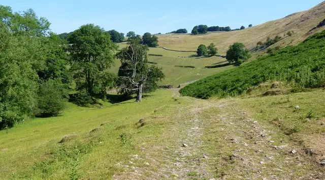
Musden Low Short Walk No ratings yet Be the first - rate this walk in the Staffordshire Walks App

Musden Low walk 02

Musden Low Circular Walk

Walk distance
3½ miles
Time
1.5 hours
Route type
Circular

A longer loop around Musden Low that gives you more of the surrounding Staffordshire Moorlands countryside and two tricky hills to climb.

It starts with the first steady climb, then heads out to Hinkley Wood before swinging back to approach Musden Low itself near the end for the second climb.

This one is a little more demanding than the distance suggests and the ground is open and exposed in places, so dress for the weather.

Musden Low Circular Walk No ratings yet Be the first - rate this walk in the Staffordshire Walks App

Musden Low walk 03

Musden Low and Calton Long Walk

Walk distance
5¼ miles
Time
2.5 hours
Route type
Circular

The longest of the Musden Low options is a wide loop across the Staffordshire Moorlands. It starts with a brisk and strenuous climb, then follows a network of quiet lanes, including Dog Lane, Green Lane, Common Lane and Back Lane, passing close to the village of Calton.

The second half brings more variety, with a good stretch through woodland around Musden Wood before a long, steep climb up to Musden Low itself. Its ancient burial mounds are recorded on and around the summit, and the open top is exposed, so bring a windproof layer. .

Musden Low and Calton Long Walk No ratings yet Be the first - rate this walk in the Staffordshire Walks App

Navigate the walks

Staffordshire Walks App

Follow the Musden Low walks with GPS guidance

It's like sat-nav, but for footpaths.

Choose a walk and follow the pointer showing your live position on the route map, so you always know you're on the right path.

The app works without a phone signal, so you can keep following the route wherever the walk takes you.

Download the app

Download on the App Store Get it on Google Play

On a computer? Scan the QR code with your phone's camera to get the Staffordshire Walks app.

Staffordshire Walks app showing the walker's live position on a route map

Designed to be simple

  • Choose a walk and follow the pointer
  • See your live position on the route map
  • Works without a phone signal
  • Includes 150+ Staffordshire walks
  • Free one-month trial
  • Available for iPhone and Android

Explore the area

Nearby walks

Explore the county

Staffordshire walks map

Map data © OpenStreetMap contributors

Search Staffordshire walks

See where the walks start, explore the area and tap a pin to find a route for your next adventure.

Search Staffordshire walks
Expanded route map for Musden Low Short Walk, a 2.5 mile circular walk in Staffordshire