
At a glance
Rugeley Walk
- Distance
- 3.75 miles
- Estimated time
- 2 hours
- Route type
- Circular
- GPS app guided
- Yes
- Parking
- Paid parking at start 52.76911, -1.92744
- Characteristics
- Water, Countryside, Pub
Staffordshire Walks
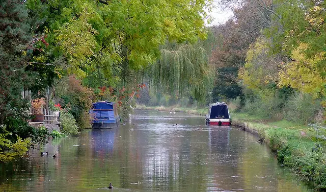
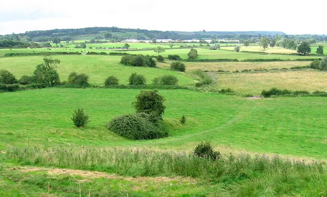
These walks from Rugeley offer a varied countryside adventure with a lovely mix of open fields, farmland, woodland and peaceful canalside paths.
Starting close to Trent Valley Railway Station, the walks take you through charming villages, alongside the Trent and Mersey Canal and across rolling Staffordshire landscapes, with the longer option stretching further to Stockwell Heath for even more views and rural scenery.
Download the Staffordshire Walks App to follow this route with real-time GPS navigation.


At a glance
The walk
A nice circular walk starting near the Trent Valley Railway station in Rugeley, taking you across open fields and farmland, crossing Moreton Brook and passing through the village of Colton, joining the Staffordshire Way and following the Trent and Mersey Canal back to the start.
Some lovely views and varied terrain, there is some road walking on lanes and on paths near busy roads during the course of the walk.
This is the short version of the walk, the longer version takes you up to Stockwell Heath and is 3km longer.
Based on 5 user ratings
A very popular walk
Fine with dogs
Reasonable paths
Not suitable for pushchairs
Not wheelchair accessible
No facilities
Take a packed lunch
Spot on
Real feedback from people who have completed this walk using the Staffordshire Walks app.
First-hand experiences
Great walk!...Though for the first part you need wellies as we were shin deep-but added to the hilarity of it for us, our Sausage dog looked like a miniature piglet! ...Wouldn’t put us off doing it again (with wellies!) the map was super clear and the red arrow kept us on track throughout. This is our first walk on the ap-cant wait to do more as the months get drier and days get longer.
Very muddy in parts but overall a very good walk ...
Comments from walkers who have completed the Rugeley walk.
Time for a stop
Navigate the walks
The easiest way to follow this route is with the Staffordshire Walks app. Choose the walk and follow the pointer showing your live position on the route map, so you can see you're on the right path.
The app works without a phone signal, so you can keep following the route wherever the walk takes you.

Explore the area
 2.75-8.75 miles
2.75 miles
8.75 miles
2.75-8.75 miles
2.75 miles
8.75 miles
 0.5-3.75 miles
 1.25 miles
 1.25-5.25 miles
 5.25 miles
 4-4.5 miles
 4.5 miles
 2.25 miles
 3 miles
 1.25-2.5 miles
 4.25 miles
 1.5 miles
 1.75 miles
Explore the county
See where the walks start, explore the area and tap a pin to find a route for your next adventure.
Search Staffordshire walks