

Staffordshire Walks

The Wolseley Centre Walk

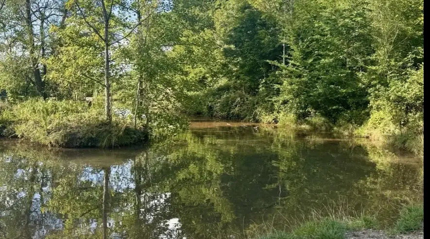
Wolseley Centre walk, Staffordshire
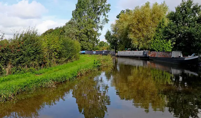
Wolseley Centre · Photo: Christine Johnstone

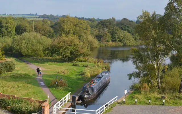
The Wolseley Centre is the headquarters and nature reserve of the Staffordshire Wildlife Trust, beside the River Trent at Wolseley Bridge.

The site covers about 26 acres of woodland, river and lakes, with a boardwalk and wildlife-friendly display gardens. The reserve stands on the former grounds of Wolseley Hall, home of the Wolseley family for centuries until the hall was demolished in the mid-20th century.

We have one walk here, a short and level 1-mile loop that suits a relaxed amble of well under an hour. Water stays beside you for almost the whole way.

It is a good choice for families, casual walkers and anyone who wants some gentle birdwatching. The Kingfisher Café overlooks the lakes and is handy for food and drink at the start. The Wolseley Arms, a former coaching inn with a long history, is also close to the route if you want to make a longer outing of it.

Download the Staffordshire Walks App to follow this route with real-time GPS navigation.

Download on the App Store Get it on Google Play

On a computer? Scan the QR code with your phone's camera to get the Staffordshire Walks app.

Walk information

Wolseley Centre Walk

Walk distance
¾ miles
Time
30 mins
Route type
Circular

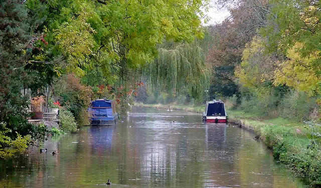
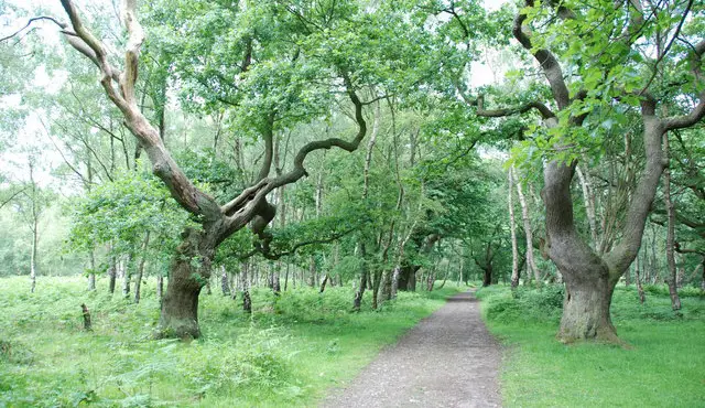
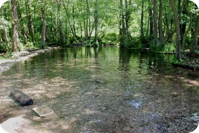
A short, level stroll around the Staffordshire Wildlife Trust's Wolseley Centre nature reserve, with water beside you for almost all of the walk.

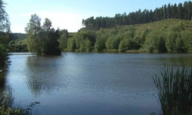
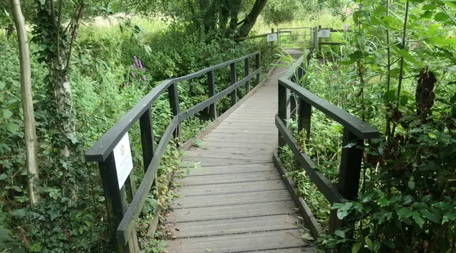
The route passes Temple Lake, then comes alongside the River Trent before taking you around the back of Swan Lake. The boardwalk gives views over the pools and the river.

Kingfishers, herons and other wetland birds may be seen, and the ducks and geese are used to people, so some paths can be muddy.

For refreshments, the Kingfisher Café at the start overlooks the lakes and gives plenty of options for food and drink.

Wolseley Centre Walk No ratings yet Be the first - rate this walk in the Staffordshire Walks App

Navigate the walks

Staffordshire Walks App

Follow the Wolseley Centre walk with GPS guidance

It's like sat-nav, but for footpaths.

Choose a walk and follow the pointer showing your live position on the route map, so you always know you're on the right path.

The app works without a phone signal, so you can keep following the route wherever the walk takes you.

Download the app

Download on the App Store Get it on Google Play

On a computer? Scan the QR code with your phone's camera to get the Staffordshire Walks app.

Staffordshire Walks app showing the walker's live position on a route map

Designed to be simple

  • Choose a walk and follow the pointer
  • See your live position on the route map
  • Works without a phone signal
  • Includes 150+ Staffordshire walks
  • Free one-month trial
  • Available for iPhone and Android

Explore the area

Nearby walks

Explore the county

Staffordshire walks map

Map data © OpenStreetMap contributors

Search Staffordshire walks

See where the walks start, explore the area and tap a pin to find a route for your next adventure.

Search Staffordshire walks
Expanded route map for Wolseley Centre Walk, a 0.75 mile circular walk in Staffordshire