
At a glance
Wedmore Walk
- Distance
- 5 miles
- Estimated time
- 2.5 hours
- Route type
- Circular
- GPS app guided
- Yes
- Parking
- Roadside parking at start 51.22839, -2.80906
- Characteristics
- Countryside, Pub
Somerset Walks
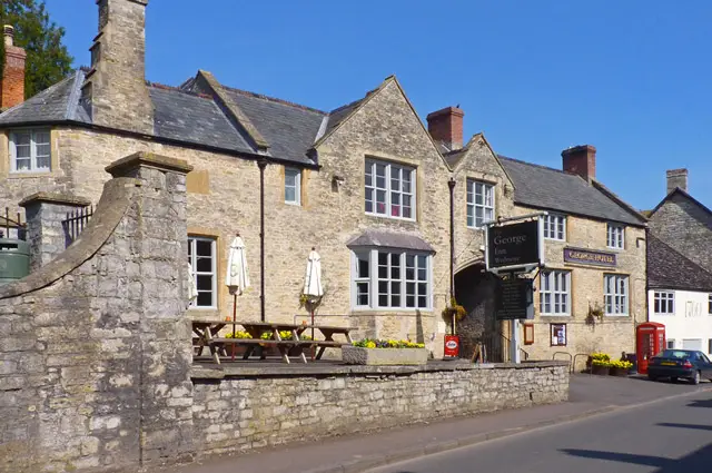
This walk takes you through the peaceful Somerset countryside just south of Wedmore.
You’ll enjoy gentle lanes, open views, and a relaxing stroll back through the village, with plenty of spots for refreshments along the way.
Download the Somerset Walks App to follow this route with real-time GPS navigation.


At a glance
The walk
This is a lovely peaceful walk in the countryside to the south of the pretty village of Wedmore.
After a short stroll through the village itself, you'll head off south along 'Madwoman's Lane' before heading east along Oldwood lane towards Mudgeley Hill, enjoying nice views as you go.
You'll then head back to the start along the long Mill Lane, and again you'll have some lovely views at times as you go.
Madwoman's Lane can sometimes get flooded after wet weather, so please be prepared for the weather conditions.
Based on 1 user rating
Mixed feedback from walkers
Limited for dogs
Overgrown in places
Not suitable for pushchairs
Not wheelchair accessible
Very limited facilities
Amazing stop
Accurate
Real feedback from people who have completed this walk using the Somerset Walks app.
First-hand experiences
The village was lovely and pub with public toilet if needed. However at least half of the public footpaths were incredibly overgrown. Fortunately we are quite young so could climb over rocks and fallen trees in one area but we had to get sticks and beat our way through nettles and brambles at certain parts. Both of us were very stung. Other foelds had sheep, cows and bulls.
Comments from walkers who have completed the Wedmore walk.
Navigate the walks
The easiest way to follow this route is with the Somerset Walks app. Choose the walk and follow the pointer showing your live position on the route map, so you can see you're on the right path.
The app works without a phone signal, so you can keep following the route wherever the walk takes you.

Explore the area
 1 miles
 5 miles
 2.5 miles
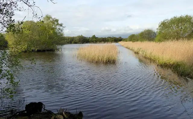 1.75-3.5 miles
 2.25 miles
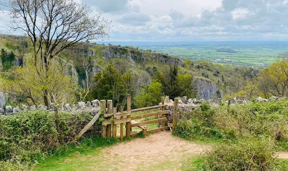 3.25 miles
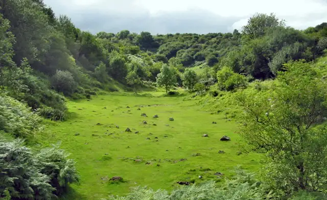 3 miles
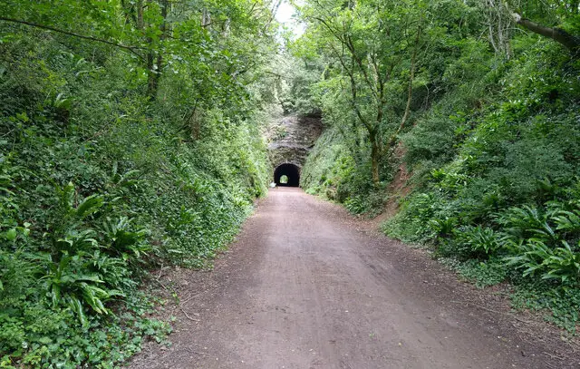 2.5-3.75 miles
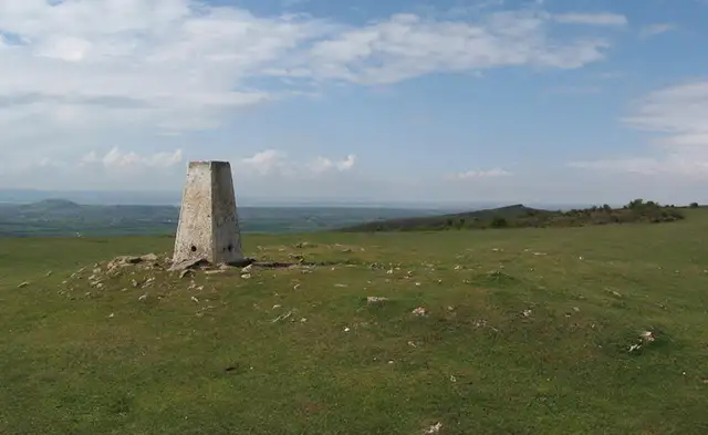 3.25-6 miles
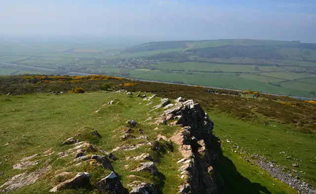 2.25-6 miles
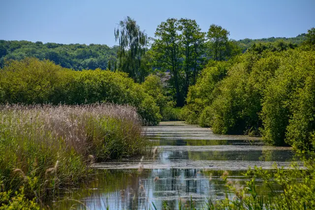 2-8.25 miles
 3.25 miles
 2-3.5 miles
 3.75 miles
 2.5 miles
Explore the county
See where the walks start, explore the area and tap a pin to find a route for your next adventure.
Search Somerset walks