

Somerset Walks

Wavering Down Walks & Route Maps

Wavering Down walk, Somerset
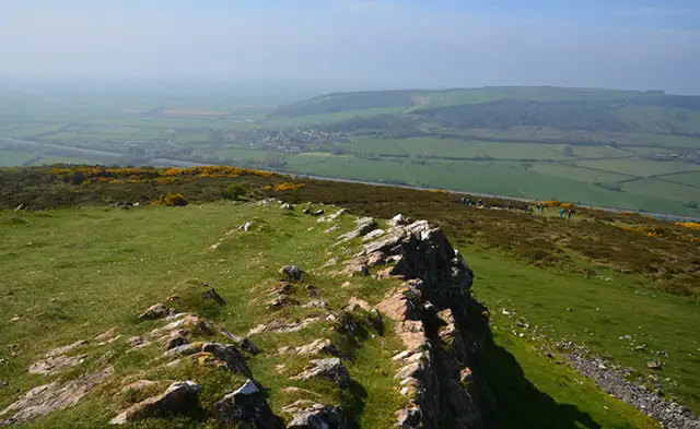
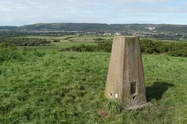
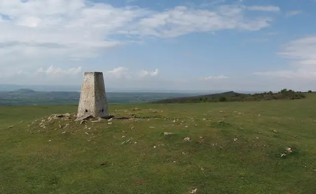
Wavering Down · Photo: Chris Andrews

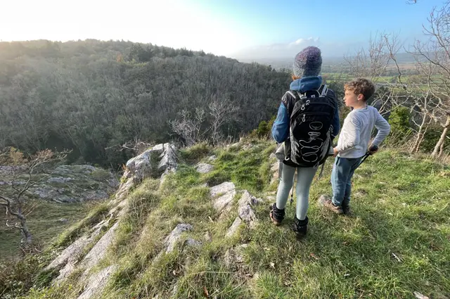
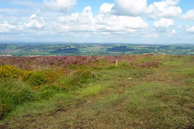
These walks around Wavering Down make the most of the Mendip Hills’ rolling ridges and far-reaching views, with a choice between a shorter uphill route or a more challenging day out across the surrounding peaks.

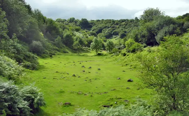
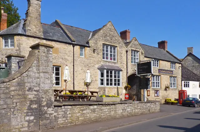
The walks take in the striking slopes of Crook Peak, open hilltop paths across Wavering Down and quieter stretches through King’s Wood, while a disused quarry and the welcoming White Hart pub add a little local history and character along the way.

Download the Somerset Walks App to follow these routes with real-time GPS navigation.

Download on the App Store Get it on Google Play

Walk information

Wavering Down Walk 1

Walk distance
3¼ miles
Time
1.5 hours
Route type
Circular

This first Wavering Down route offers a short but energetic walk with some steeper sections and lovely views.

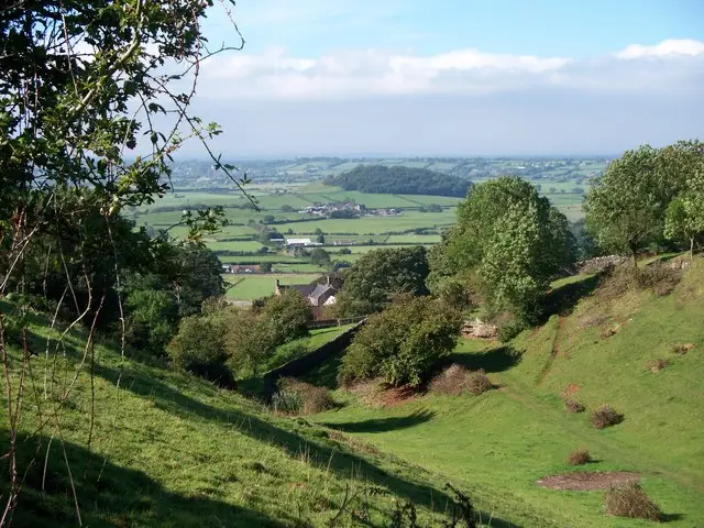
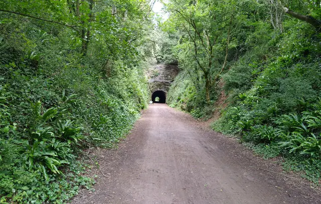
Set within the Mendip Hills, the route takes you through a small amount of woodland and across higher ground, bringing broad views across the surrounding countryside and Somerset Levels.

Wavering Down Walk 1 No ratings yet Be the first - rate this walk in the Somerset Walks App

Walk information

Wavering Down Walk 2

Walk distance
6 miles
Time
3 hours
Route type
Circular

The second Wavering Down route is a proper hill walk, with steady climbs and steeper sections that give it a more rugged feel.

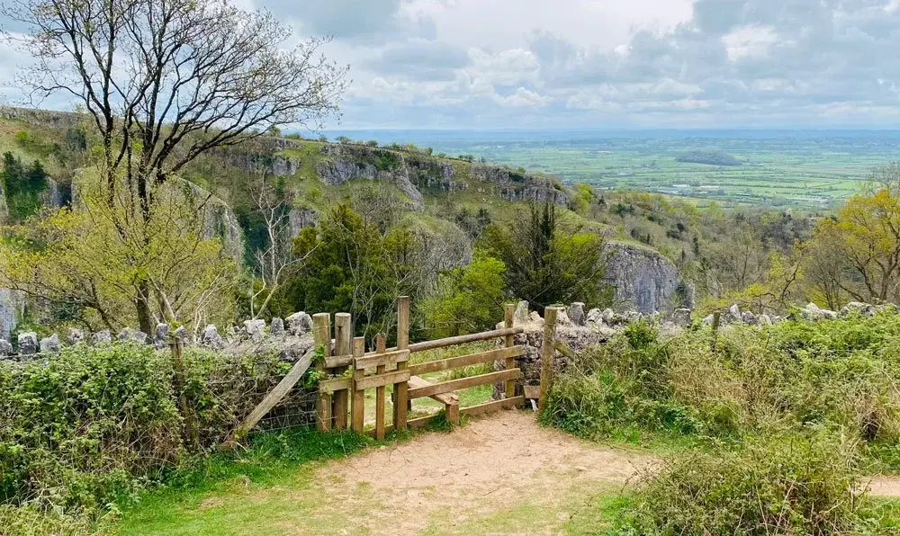
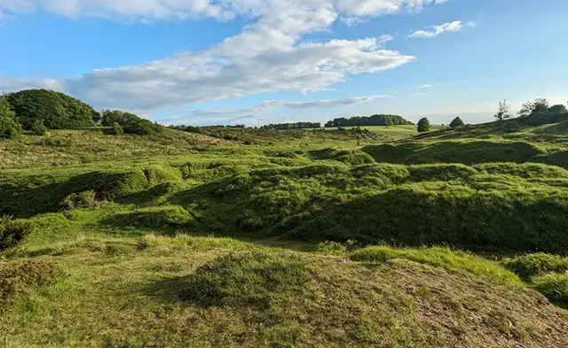
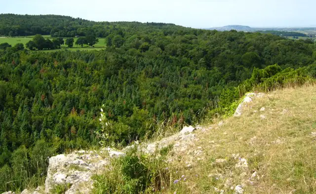
Crook Peak stands out with its rocky slopes rising sharply above the surrounding land, before the route continues across the wide, grassy expanse of Wavering Down. A disused quarry adds a glimpse into the area’s industrial past, while a local pub offers a natural pause along the way.

King’s Wood brings a quieter, wooded finish, contrasting nicely with the exposed hillsides.

Refreshments:

The White Hart, Cross

Wavering Down Walk 2 No ratings yet Be the first - rate this walk in the Somerset Walks App

Navigate the walks

Somerset Walks App

Follow the Wavering Down walks with GPS guidance

It's like sat-nav, but for footpaths.

Choose a walk and follow the pointer showing your live position on the route map, so you always know you're on the right path.

The app works without a phone signal, so you can keep following the route wherever the walk takes you.

Download the app

Download on the App Store Get it on Google Play
Somerset Walks app showing the walker's live position on a route map

Designed to be simple

  • Choose a walk and follow the pointer
  • See your live position on the route map
  • Works without a phone signal
  • Includes 250 Somerset walks
  • Free one-month trial
  • Available for iPhone and Android

Explore the area

Nearby walks

Explore the county

Somerset walks map

Map data © OpenStreetMap contributors

Search Somerset walks

See where the walks start, explore the area and tap a pin to find a route for your next adventure.

Search Somerset walks
Expanded route map for Wavering Down Walk 1, a 3.25 mile circular walk in Somerset