
At a glance
Black down Walk
- Distance
- 2.5 miles
- Estimated time
- 1 hour
- Route type
- Circular
- GPS app guided
- Yes
- Parking
- Roadside parking 51.30798, -2.72051
- Characteristics
- Hills, Countryside
Somerset Walks
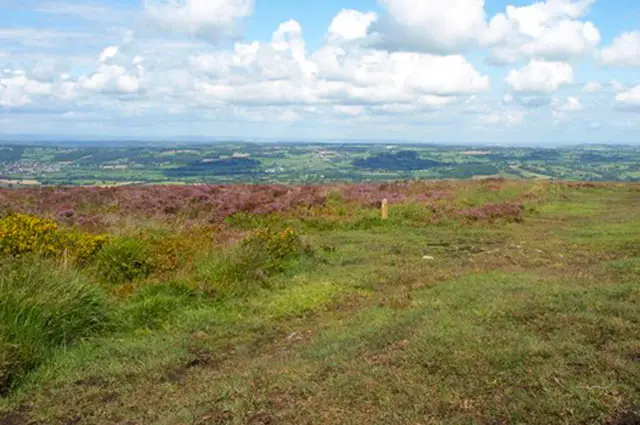
The Black Down walk climbs to the highest point in the Mendip Hills, crossing open heathland with a wonderfully wild feel.
You may spot Devon cattle and Exmoor ponies along the way, and although there are some steeper sections, the sweeping views from the Beacon Batch trig point make it well worth the effort - just note that parking is very limited.
Download the Somerset Walks App to follow this route with real-time GPS navigation.


At a glance
The walk
This scenic walk takes you up Black Down, the highest hill in the Mendip Hills.
The extensive heathland gives the hill a wild open feel and you may see Devon Cattle and Exmoor Ponies, they help keep control of the invasive bracken.
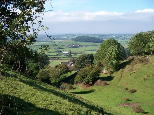
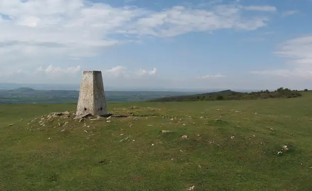
This walk does have some steep segments but rewarding views across North Somerset as you reach the Beacon Batch trig point.
Please note there is very limited parking.
Navigate the walks
The easiest way to follow this route is with the Somerset Walks app. Choose the walk and follow the pointer showing your live position on the route map, so you can see you're on the right path.
The app works without a phone signal, so you can keep following the route wherever the walk takes you.

Explore the area
 2-3.5 miles
 2.75-5.75 miles
 3 miles
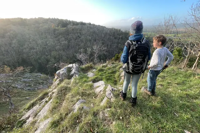 1.5-9.25 miles
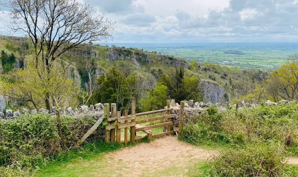 3.25 miles
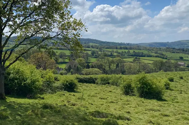 3.75 miles
 2.25 miles
 2.5 miles
 4.25 miles
 1.75-5 miles
 2.5-3.75 miles
 3.25-6 miles
 1 miles
 1.5-4.5 miles
 1.5 miles
Explore the county
See where the walks start, explore the area and tap a pin to find a route for your next adventure.
Search Somerset walks