
At a glance
Velvet Bottom Walk
- Distance
- 3 miles
- Estimated time
- 1.5 hours
- Route type
- Circular
- GPS app guided
- Yes
- Parking
- Layby parking at start 51.28746, -2.74416
- Characteristics
- Woodland, Hills
Somerset Walks
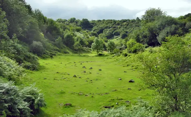
This walk at Velvet Bottom takes you through a fascinating part of the Mendip Hills, where open paths and low hills reveal the area’s industrial and natural history.
Along the route, you’ll pass the old mining remains of Velvet Bottom Nature Reserve and the dramatic cliffs of Black Rock, both giving this part of Somerset its unique character.
Download the Somerset Walks App to follow this route with real-time GPS navigation.


At a glance
The walk
This short walk explores the distinctive limestone landscape of the Mendip Hills, with a few hills adding variety along the way.
Around Velvet Bottom Nature Reserve, a shallow valley shaped by past lead mining, old workings and spoil heaps still mark the ground.
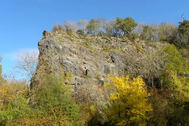
Nearby, Black Rock rises as a striking outcrop, highlighting the rugged geology that defines this part of the Mendips.
Navigate the walks
The easiest way to follow this route is with the Somerset Walks app. Choose the walk and follow the pointer showing your live position on the route map, so you can see you're on the right path.
The app works without a phone signal, so you can keep following the route wherever the walk takes you.

Explore the area
 3.25 miles
 2-3.5 miles
 2.5 miles
 2.25 miles
 2.5 miles
 1.5-9.25 miles
 3.75 miles
 2.75-5.75 miles
 1 miles
 2.5-3.75 miles
 3.25-6 miles
 1.75-5 miles
 5 miles
 5 miles
 3.25 miles
Explore the county
See where the walks start, explore the area and tap a pin to find a route for your next adventure.
Search Somerset walks