
At a glance
Tarlton Walk
- Distance
- 2.75 miles
- Estimated time
- 1.5 hours
- Route type
- Circular
- GPS app guided
- Yes
- Parking
- Roadside parking at start 51.69550, -2.05931
- Characteristics
- Woodland, Countryside
Gloucestershire Walks
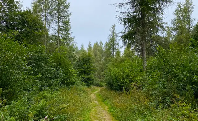
This walk starts in the small Cotswold village of Tarlton and explores the peaceful countryside surrounding it.
Along the way you’ll pass the historic Sapperton Canal Tunnel before heading through woodland and farmland tracks on a scenic circular route back to the village.
Download the Gloucestershire Walks App to follow this route with real-time GPS navigation.


At a glance
The walk
This walk starts in the small and pretty Cotswold village of Tarlton and takes you through scenic countryside and past the Sapperton Canal Tunnel.
The tunnel was originally opened in 1789 and was the longest canal tunnel ever constructed in the UK at the time. The walk then heads up into Hailey Wood and loops back along woodland tracks and farmland paths before reaching the village again.
There are a few inclines on this walk and it can get muddy at times. Please note that this walk uses permissive paths and permission may be withdrawn at any point.
Based on 6 user ratings
A very popular walk
Very dog friendly
Reasonable paths
Not suitable for pushchairs
Not wheelchair accessible
No facilities
Take a packed lunch
Spot on
Real feedback from people who have completed this walk using the Gloucestershire Walks app.
First-hand experiences
Dogs loved the woods, beautiful walk.
Nice woodland walk, barely saw anyone else on a sunny sunday. Dags have to be kept on a lead through the woods. Parking at fhe start isnt easy as narrow lanes. We parked at What 3 Word - ///tipping.lobster.catchers . Such a shame that the Tunnel House Inn is closed, would make a great stopping point.
Beautiful sunny day and only gentle uphills, lots to see, quiet and a seoerate canal walk if you want to deviate from planned route
Lovely Walk. A bit muddy at the bottom of the hill otherwise good underfoot. One quite tall style, had to lift the dog over.
Great walk.
Comments from walkers who have completed the Tarlton walk.
Navigate the walks
The easiest way to follow this route is with the Gloucestershire Walks app. Choose the walk and follow the pointer showing your live position on the route map, so you can see you're on the right path.
The app works without a phone signal, so you can keep following the route wherever the walk takes you.

Explore the area
 3.25 miles
 2.25-4.75 miles
 1.5 miles
 2.5 miles
 2.75 miles
 2.5 miles
 2.75 miles
 1-1.5 miles
 0.75 miles
 2.25 miles
 1.75-3.25 miles
 2.25-6.25 miles
 3.5 miles
 1.75-6.75 miles
 1.75-2.5 miles
Explore the county
See where the walks start, explore the area and tap a pin to find a route for your next adventure.
Search Gloucestershire walks