
At a glance
Daneway Walk
- Distance
- 1.5 miles
- Estimated time
- 1 hour
- Route type
- Circular
- GPS app guided
- Yes
- Parking
- Lay-by parking at start 51.72859, -2.08942
- Characteristics
- Woodland, Water, Pub
Gloucestershire Walks
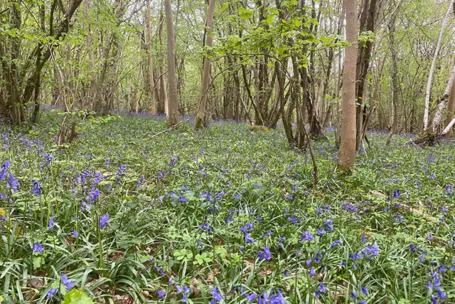
This walk from Daneway follows a peaceful stretch of the old canal before climbing up into woodland above the surrounding valley.
This walk includes one steeper section and finishes back near the Daneway Inn, a convenient place to stop for refreshments.
Download the Gloucestershire Walks App to follow this route with real-time GPS navigation.


At a glance
The walk
This is a lovely shorter version of the Sapperton walk which starts near the Daneway pub.
The walk takes you alongside the old Thames and Sapperton Canal and climbs up into Siccaridge Wood before looping back past the pub. There is one steep slope on this walk.
Refreshments:
The Daneway Inn, Sapperton
Based on 6 user ratings
A well-liked walk
Dog heaven
Generally well maintained
Hard going with a buggy
Very limited access
No facilities
Good stop on route
Spot on
Real feedback from people who have completed this walk using the Gloucestershire Walks app.
First-hand experiences
Our 1st excursion with Glos-WalksParking accurate Daneway Inn exceptional Walk itself a little tasking on the uphill section but all in all very pleasant
We wnjoyed this walk. We did the road way first up the fairly steep hill and that was the only up hill on the walk. After that it was fairly flat and then some downhill. Dogs enjoyed it being off lead for majority of the walk. Map was accurate and took us just over 1hour.
Comments from walkers who have completed the Daneway walk.
Navigate the walks
The easiest way to follow this route is with the Gloucestershire Walks app. Choose the walk and follow the pointer showing your live position on the route map, so you can see you're on the right path.
The app works without a phone signal, so you can keep following the route wherever the walk takes you.

Explore the area
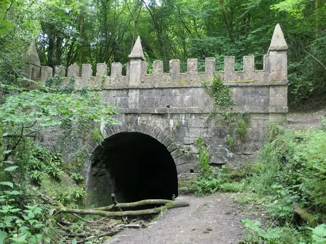 2.25-4.75 miles
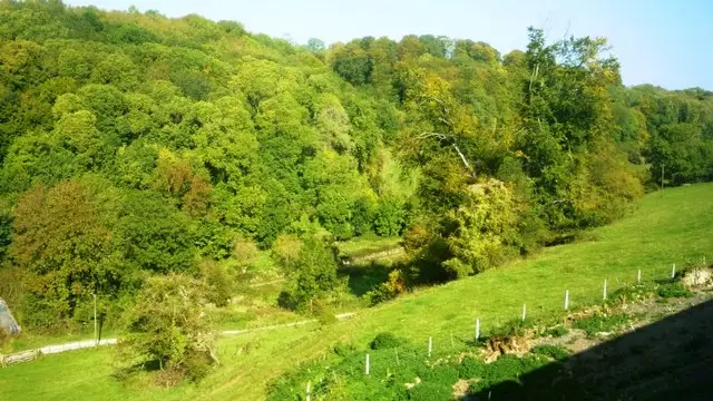 2.5 miles
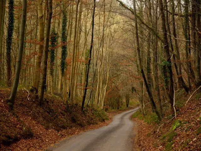 2.75 miles
 2.5 miles
 2.75 miles
 2.25-6.25 miles
 3.25 miles
 1.75-3.25 miles
 1.75-2.5 miles
 2.75 miles
 2.25-3.75 miles
 2.75 miles
 2.5-3.25 miles
 1.5 miles
 3 miles
Explore the county
See where the walks start, explore the area and tap a pin to find a route for your next adventure.
Search Gloucestershire walks