
Tetbury valley walk
The second walk starts from the Old Railyard car park and takes you along a pretty tree-lined valley, heading away from Tetbury. There is then a steady climb as you loop back around, following a country lane, where you can enjoy some lovely views over the countryside surrounding Tetbury. The final stage takes you through fields and open countryside before heading back into the town, We have added a short extension from the start of the walk which takes you into the middle of Tetbury where you can find shops, cafes, pubs and restaurants. There is some road walking on this route along a country lane.
Walk information
Distance
3.75 miles
Time
2 hours
Difficulty
Moderate
Route Type
Circular
Terrain & Features
Open countryside, hills, pub/cafe
Parking
Free car park at start, grid reference 51.638071,-2.155632
GPS App Guided
Yes
Overall Rating
4/5
Dog Friendly
4/5
Buggy Friendly
1.8/5
Wheelchair Friendly
1.4/5
Toilet Facilities
1.6/5
Pub/Cafe
3.5/5
More ratings for stiles, how muddy, livestock etc are available on the app.
Route Map
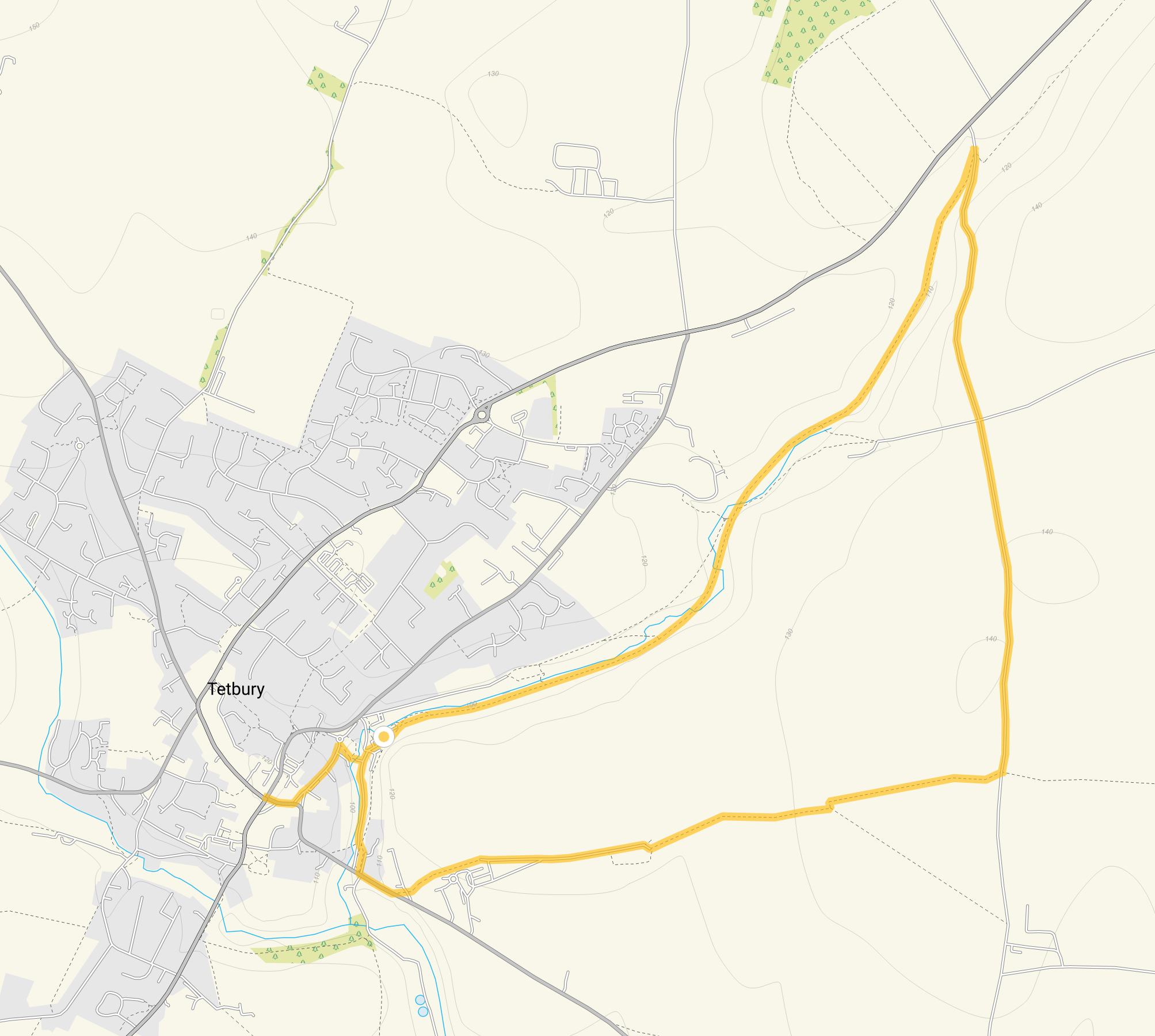
Looking for more walks in the area? See all Tetbury walks.
Get the Gloucestershire Walks app
Follow this route using the GPS guided walking app
Enjoy this Tetbury Valley walk with turn-by-turn GPS guidance using the Gloucestershire Walks app. Your live location is shown on the route map, making it easy to stay on the correct footpaths without constantly checking paper maps or signposts. The walk works offline, so you can continue even in areas with poor mobile signal.
✓ Live GPS location on the route map
✓ Works offline
✓ Never lose the footpath
✓ Includes 200+ Gloucestershire walks
✓ Free one-month trial
✓ Available for iPhone and Android
Download the Gloucestershire Walks app to see your position on the May Hill map as you walk.


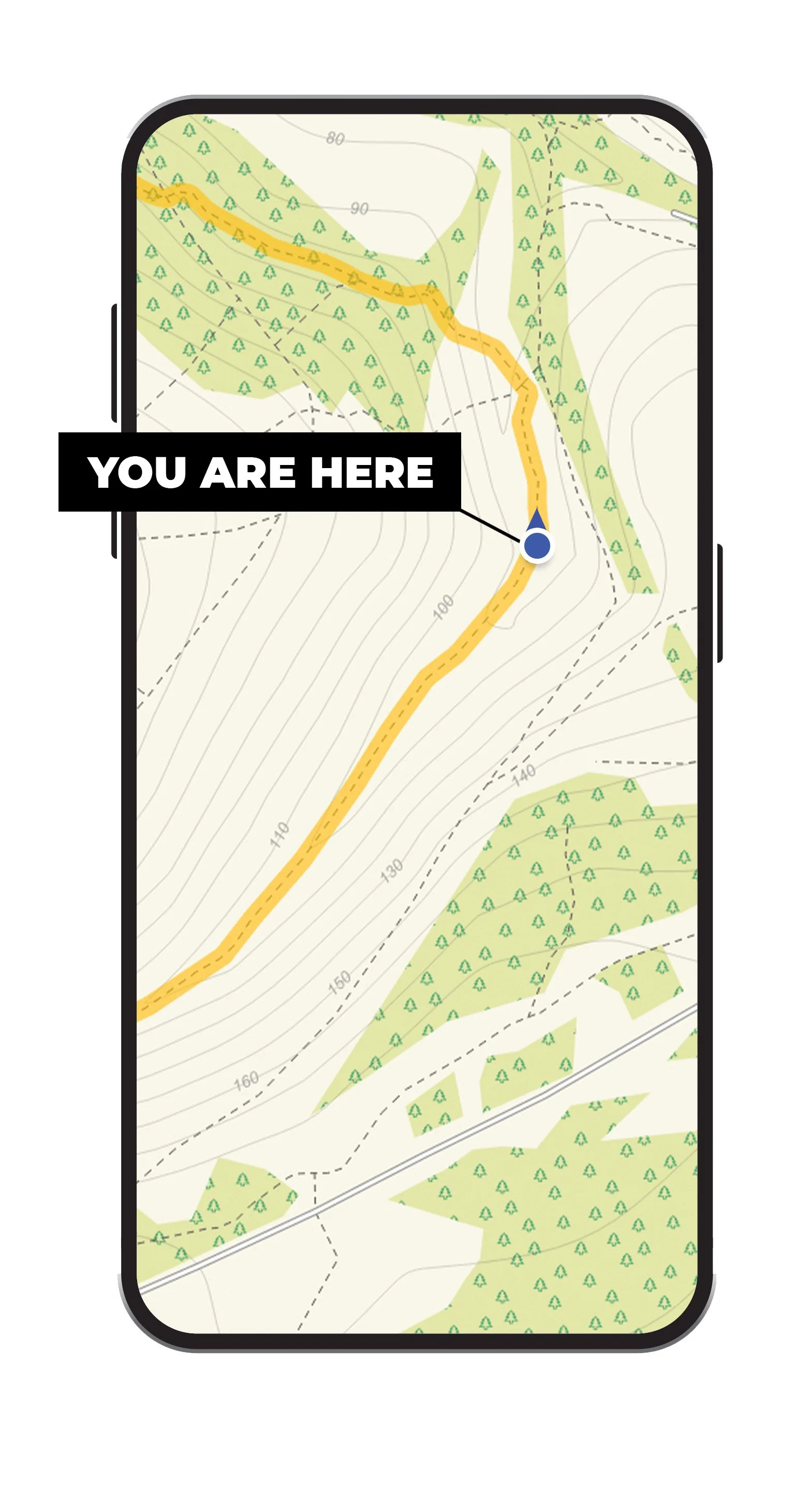
The Gloucestershire Walks app shows your live position on the route map, making it easy to stay on the correct footpaths.
Here are a few more Gloucestershire and Cotswold walks on the app.


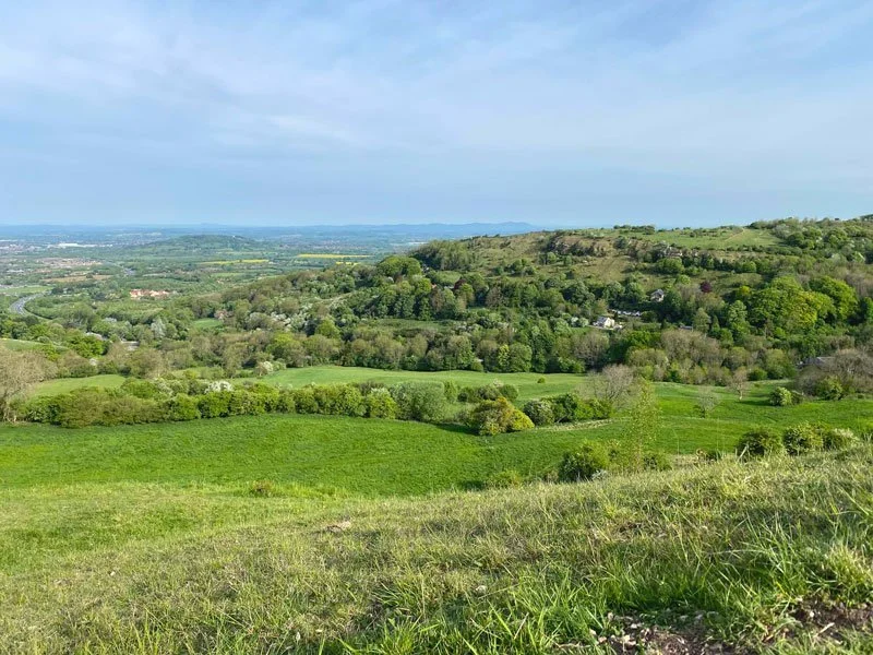


You can find more Cotswolds and Gloucestershire walks here