

Dovers Hill Walk and Route Map
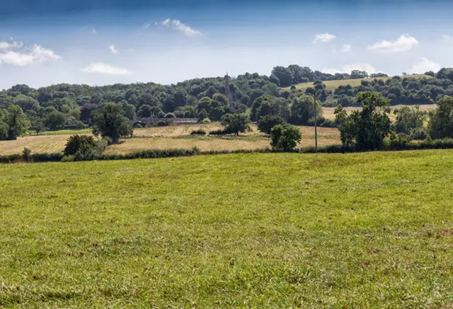
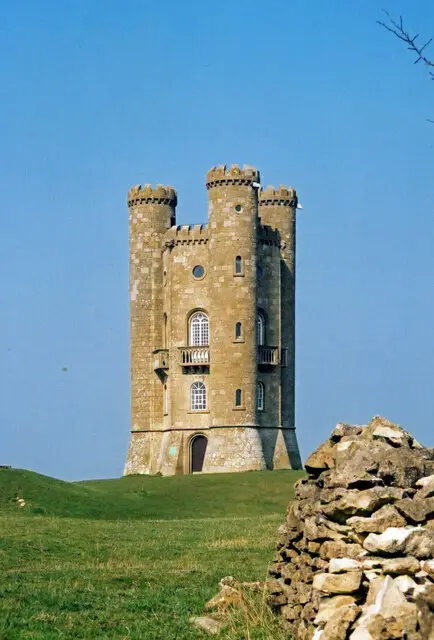
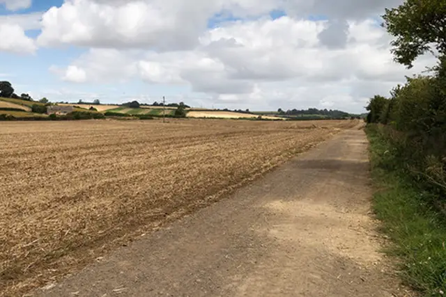
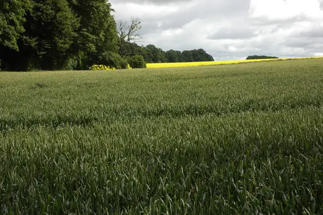
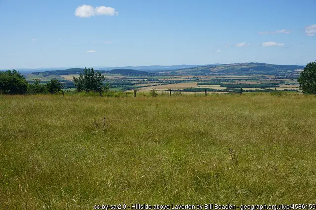
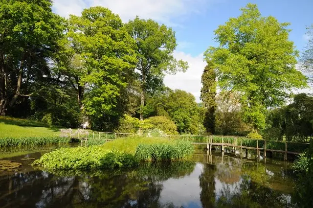
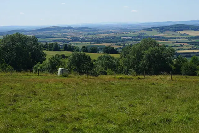
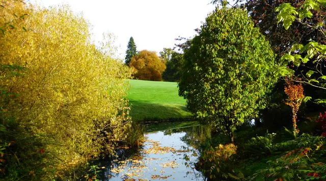
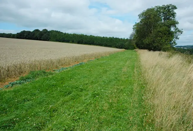
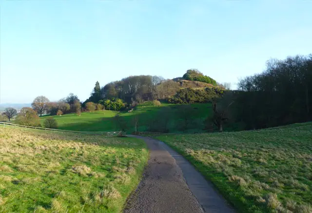
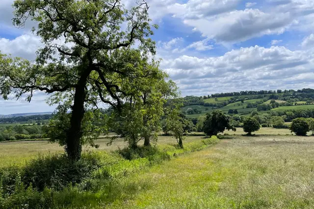
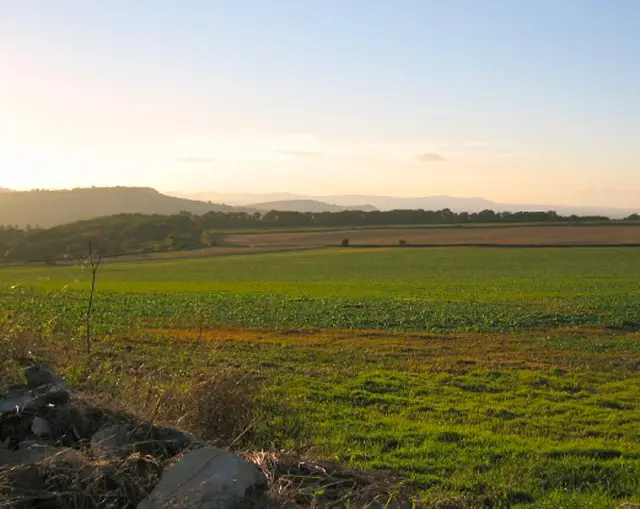
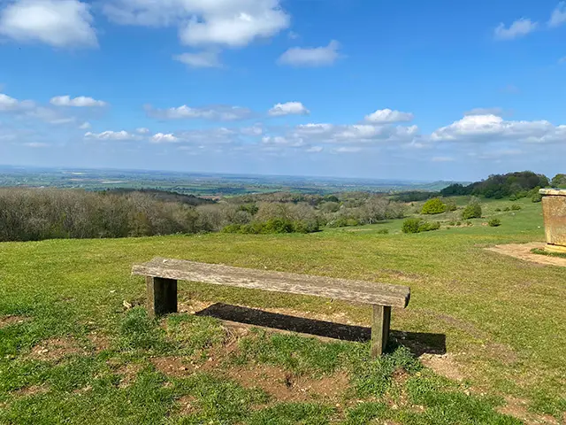
A lovely walk around the top of Dovers hill next to Chipping Campden with some pretty views overlooking the countryside.
Walk information
Key information at a glance
Distance
2.25 miles
Time
1 hour
Difficulty
Moderate
Route Type
Circular
Characteristics
Woodland, hills
Parking
Paid parking at start (free for National Trust members), grid reference 52.054069,-1.80222
Pub/Cafe
No
GPS App Guided
Yes
Community information
Based on 2 ratings from users (a rating of 5 is highest)
Overall Rating
4.2 - A very popular walk
Dog Friendly
4 - Very dog friendly
Family Friendly
3.5 - Quite family friendly
Buggy Friendly
1.5 - Not suitable for pushchairs
Wheelchair Friendly
1 - Not wheelchair accessible
Toilet Facilities
1 - No facilities
Scenery
4 - Beautiful scenery
Path condition
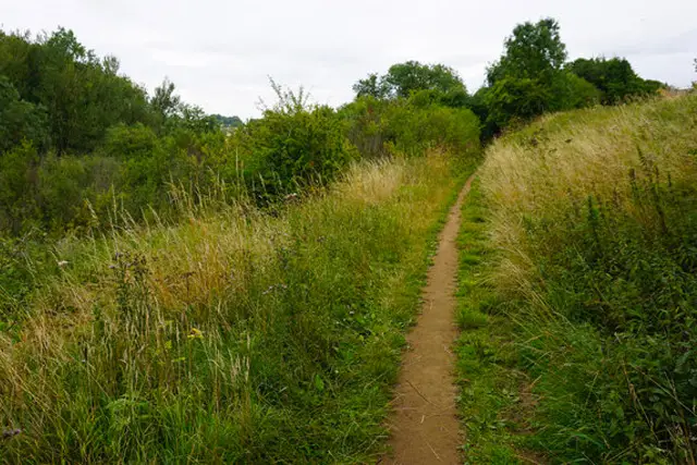
4.1 - Generally well maintained paths
Pub/Cafe
2.5 - Quite good
Livestock on route
Some livestock
Stiles
No stiles on route
Mud level
May be muddy after wet weather
Route Map
Walk description
Dovers Hill Walk
2.25 miles
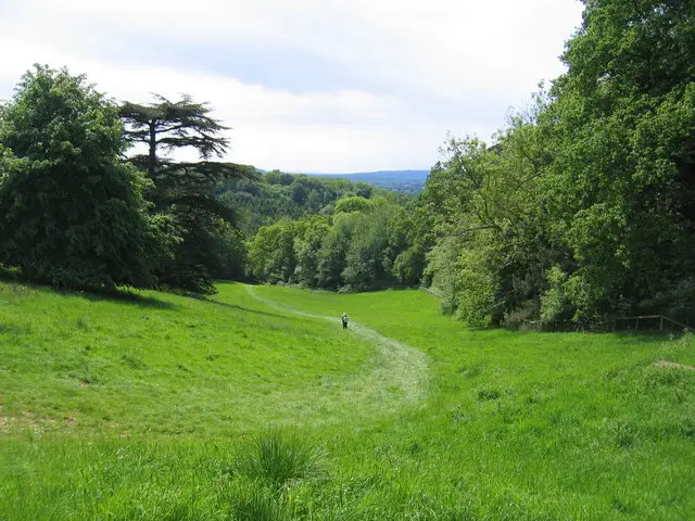
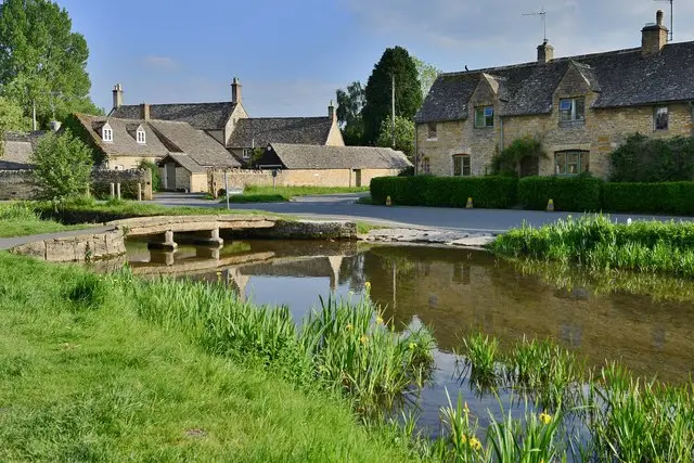
This circular walk takes you around the top of the hill and then down to the bottom of Lynches wood and back up to the top. Bear in mind the path can get quite steep through the wood. A short drive will take you into Chipping Campden where there are places for refreshments or you can do our longer Chipping Campden walk which gives you directions to be able to walk into the town.

User reviews
01/06/26
Amazing views and a few benches to sit on at the top. It was steep in places and lovely with the contrast walking through the woods. We also stopped in nearby Chipping Campden for a bite to eat and drink, the town is very pretty.
Get the Gloucestershire Walks app
Follow this route using the GPS guided walking app
Enjoy this Dovers Hill walk with turn-by-turn GPS guidance using the Gloucestershire Walks app. Your live location is shown on the route map, making it easy to stay on the correct footpaths without constantly checking paper maps or signposts. The walk works offline, so you can continue even in areas with poor mobile signal.
✓ Live GPS location on the route map
✓ Works offline
✓ Never lose the footpath
✓ Includes 200+ Gloucestershire walks
✓ Free one-month trial
✓ Available for iPhone and Android
Download the Gloucestershire Walks app to see your position on the route maps as you walk.
The Gloucestershire Walks app shows your live position on the route map, making it easy to stay on the correct footpaths.
Here are a few more Gloucestershire and Cotswold walks on the app.
You can find more Cotswolds and Gloucestershire walks here