
At a glance
Devils Chimney Walk
- Distance
- 2.25 miles
- Estimated time
- 1 hour
- Route type
- Circular
- GPS app guided
- Yes
- Parking
- Free car park at start 51.85992, -2.07347
- Characteristics
- Woodland, Countryside
Gloucestershire Walks
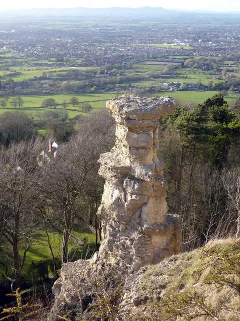
This walk explores the high ground around Leckhampton Hill, following part of the Cotswold Way with wide views over Cheltenham and the surrounding countryside.
This walk also passes the striking Devils Chimney rock formation before looping back across open hilltop paths and farmland to the start.
Download the Gloucestershire Walks App to follow this route with real-time GPS navigation.


At a glance
The walk
This scenic Devils Chimney walk is around the Leckhampton Hill area where there are other routes which take in the steep inclines/declines of Leckhampton, however, this one is for those wishing to avoid anything too strenuous, thus the parking is at the top of the hill rather than the bottom!
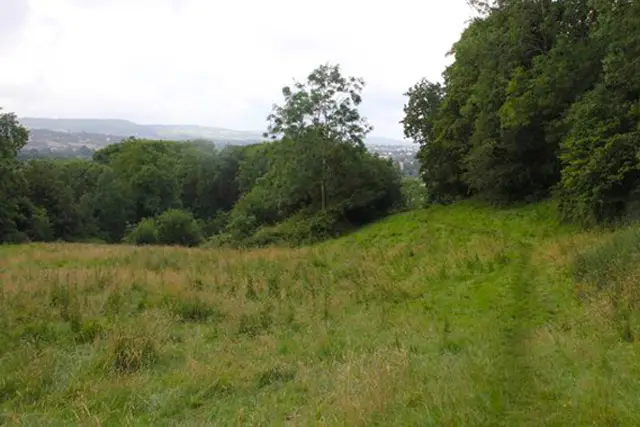
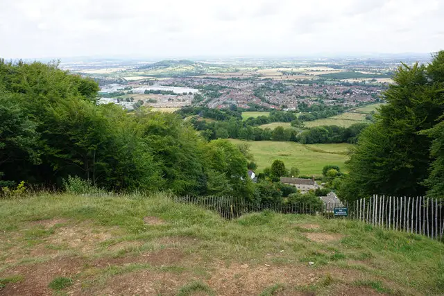
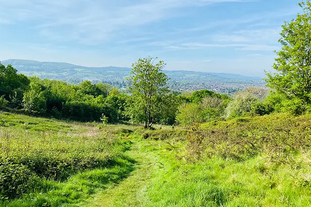
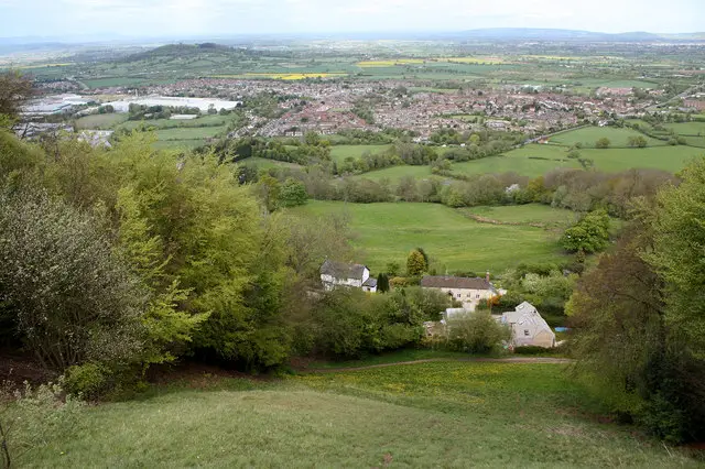
The lane at the start joins the Cotswold Way footpath after a short distance which leads you to the top of the hill where you can see beautiful views of Cheltenham and the surrounding countryside, including Devils Chimney, an unusual rock formation perching on the side of the hill.
Wander round the top of this hill with the free grazing cattle before heading off down the track called Muddy Path which leads you through a farm back to the lane you started on.
Based on 8 user ratings
An outstanding walk
Very dog friendly
Generally well maintained
Possible with care
Not wheelchair accessible
No facilities
Take a packed lunch
Spot on
Real feedback from people who have completed this walk using the Gloucestershire Walks app.
First-hand experiences
Cows and sheep on route
Good walk. Would be better to elongate it by sticking on some footpaths and not walking along the road
Comments from walkers who have completed the Devils Chimney walk.
Navigate the walks
The easiest way to follow this route is with the Gloucestershire Walks app. Choose the walk and follow the pointer showing your live position on the route map, so you can see you're on the right path.
The app works without a phone signal, so you can keep following the route wherever the walk takes you.

Explore the area
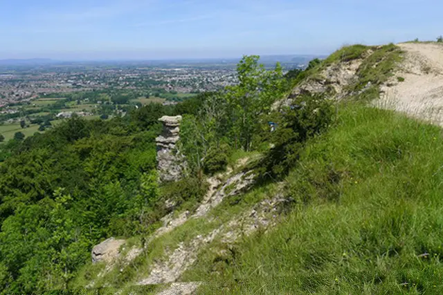 1-3.5 miles
 1.25 miles
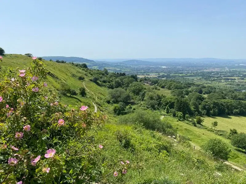 1-1.75 miles
 2.25 miles
 6.25 miles
 1.75-4 miles
 1.75 miles
 2.75 miles
 2.25 miles
 1.75 miles
 3-3.75 miles
 4.25 miles
 2.25-6 miles
 2.25-3 miles
 1.75-2.5 miles
Explore the county
See where the walks start, explore the area and tap a pin to find a route for your next adventure.
Search Gloucestershire walks