

Gloucestershire Walks

Cockleford Walk & Route Map

Cockleford walk, Gloucestershire
Cockleford · Photo: Local Walks team

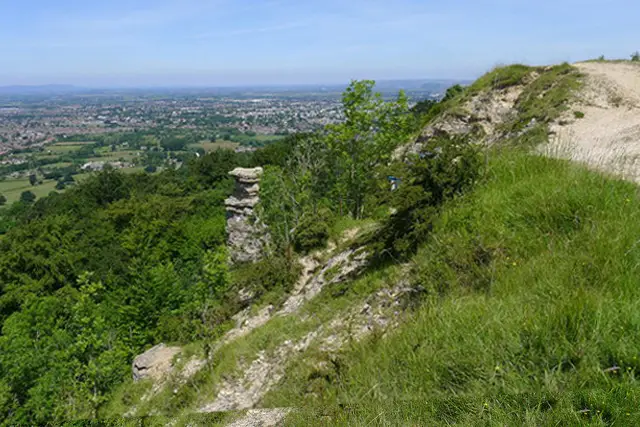
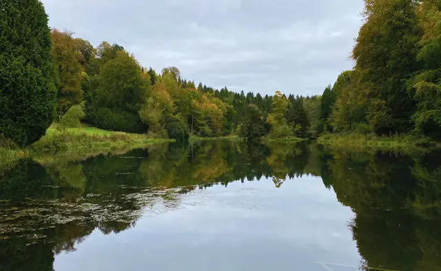
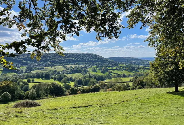
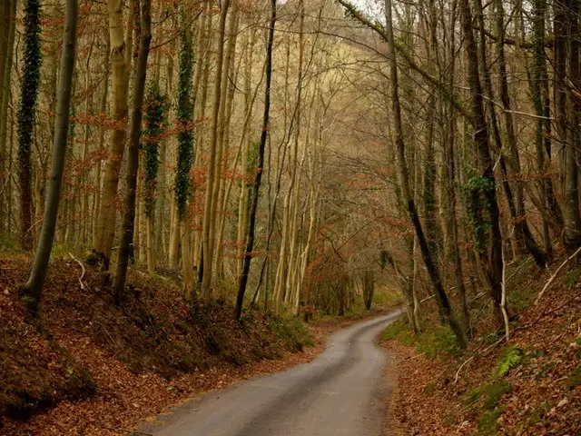
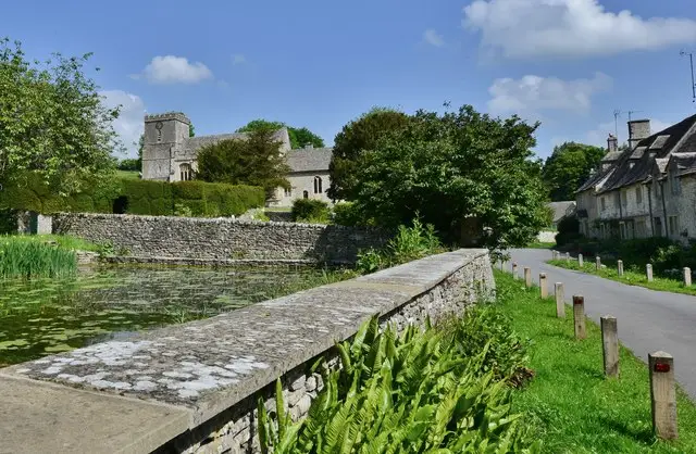
This scenic circular walk from Cockleford starts and finishes at the welcoming Green Dragon Inn, taking you through peaceful woodland, along a quiet lane and around the edge of Cowley Wood.

With a few hills, some steeper sections and lovely valley views, it’s a rewarding Cotswold walk with well-earned refreshments waiting at the end.

Download the Gloucestershire Walks App to follow this route with real-time GPS navigation.

Download on the App Store Get it on Google Play

At a glance

Cockleford Walk

Distance
2.25 miles
Estimated time
1 hour
Route type
Circular
GPS app guided
Yes
Parking
Pub car park - please ask permission from the pub before using their car park
51.82610, -2.04728
Characteristics
Woodland, Hills, Countryside, Pub
The walk

Cockleford Walk

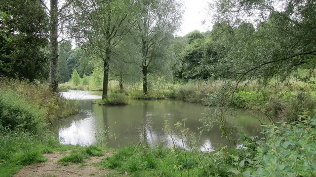
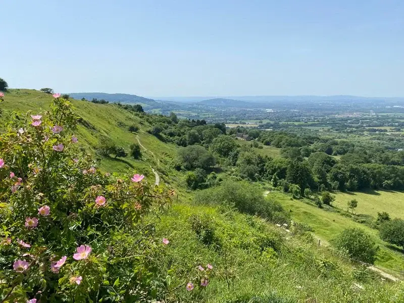
A lovely walk with a great Cotswold pub. This walk starts from just outside the Green Dragon Inn and takes you through pretty woodland, along a quiet country lane and back around the outside of Cowley Wood.

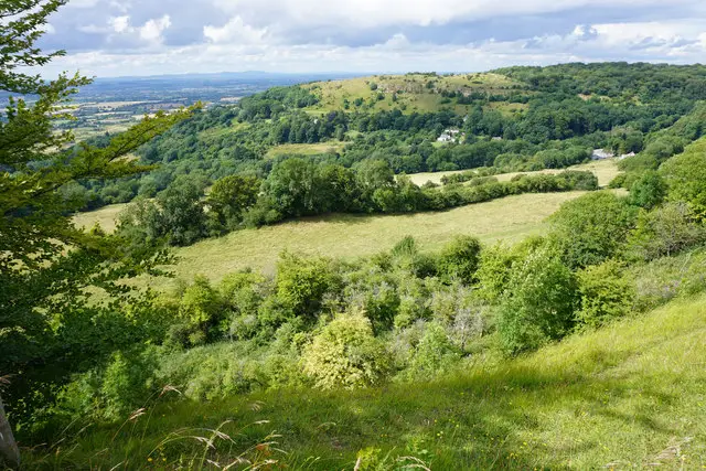
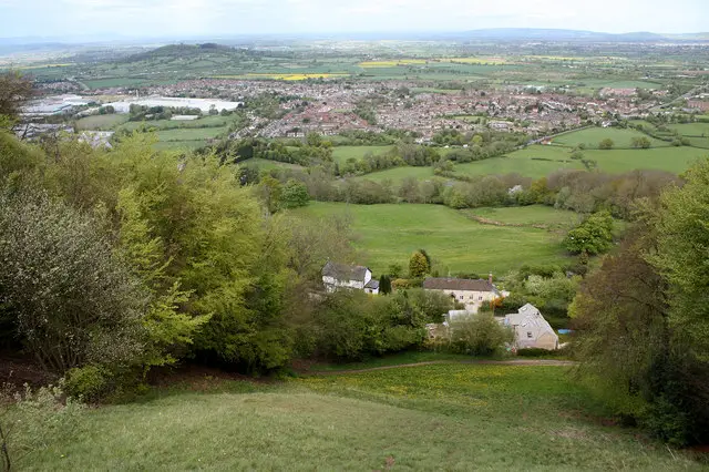
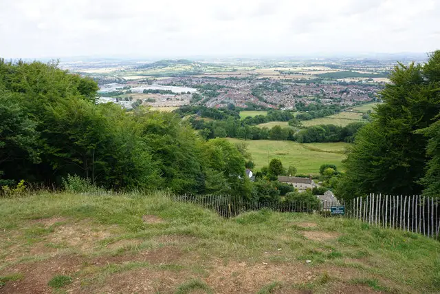
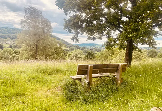
As you head back down into the tree lined valley, you are rewarded with wonderful views of the Cotswold countryside and then back to the pub for well deserved refreshments. The recommended route direction is anti-clockwise.

Please note that this walk has hills with some steep inclines and can be muddy at times. Also, please ask permission from the pub before using their car park.

Refreshments:

Green Dragon Inn, Cockleford

Based on 12 user ratings

Community feedback

Overall rating4.1

A very popular walk

Dog friendly3.2 / 5

Fine with dogs

Path condition3.5 / 5

Generally well maintained

Buggy friendly1.1 / 5

Not suitable for pushchairs

Wheelchair friendly1.0 / 5

Not wheelchair accessible

Toilet facilities1.7 / 5

Very limited facilities

Pub or café3.5 / 5

Good stop on route

Route accuracy4.8 / 5

Spot on

ClimbingSome climbing
LivestockNo livestock
StilesNo stiles
Mud levelBoots recommended

Real feedback from people who have completed this walk using the Gloucestershire Walks app.

First-hand experiences

User reviews

Walker review

It was an okay short walk. I wasn’t a fan of all the signs telling us to keep dogs on leads. I presume this is because on the downward leg of the walk the route is teeming with pheasants.

Walker review

Access is from the back of the car park through a gate signposted Bubbs Hill. Lovely flat, shady start full of birdsong. Gets a bit steep when you go anti clockwise, but nothing like as steep if we had gone the other way! No shade across the top section. Completed in just under an hour.

Walker review

Fairly local shortish walk. A bit muddy in places. There was a live pheasant shoot today, so dog was on lead for a fair portion of the walk.

Walker review

lovely walk. not too challenging 1 steep but short bit. path very muddy.

Walker review

This is a good walk to finish up at the pub. The straight path to the fork is quite muddy in places and the left-hand fork uphill section is grassy and steep. The field at the top of the hill and the views are worth it. It felt like we passed through many biomes and micro-environments in a short walk. Excellent for a sunny summer afternoon. It took us 2 leisurely hours with many pauses to look at bees and flowers.

Walker review

Good route in dry weather if youre going to the pub, otherwise not that exciting. One steep hill

Walker review

Very muddy in wet weather but otherwise good route

Walker review

Fab! Took longer than the hour though.

Comments from walkers who have completed the Cockleford walk.

Navigate the walks

Gloucestershire Walks App

Follow the Cockleford walk with GPS guidance

The easiest way to follow this route is with the Gloucestershire Walks app. Choose the walk and follow the pointer showing your live position on the route map, so you can see you're on the right path.

The app works without a phone signal, so you can keep following the route wherever the walk takes you.

Download the app

Download on the App Store Get it on Google Play
Gloucestershire Walks app showing the walker's live position on a route map

Designed to be simple

  • Choose a walk and follow the pointer
  • See your live position on the route map
  • Works without a phone signal
  • Includes 200 Gloucestershire walks
  • Free one-month trial
  • Available for iPhone and Android

Explore the area

Nearby walks

Explore the county

Gloucestershire walks map

Map data © OpenStreetMap contributors

Search Gloucestershire walks

See where the walks start, explore the area and tap a pin to find a route for your next adventure.

Search Gloucestershire walks
Expanded route map for Cockleford Walk, a 2.25 mile circular walk in Gloucestershire