

Gloucestershire Walks

King Arthurs Cave Walk and Route Maps

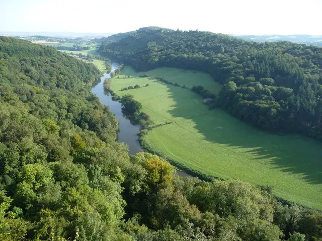
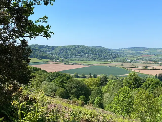
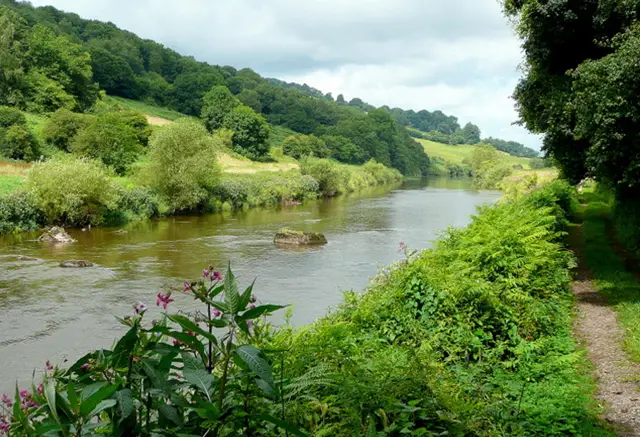
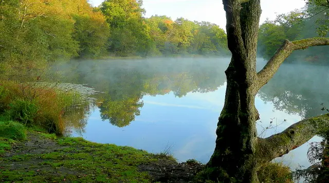
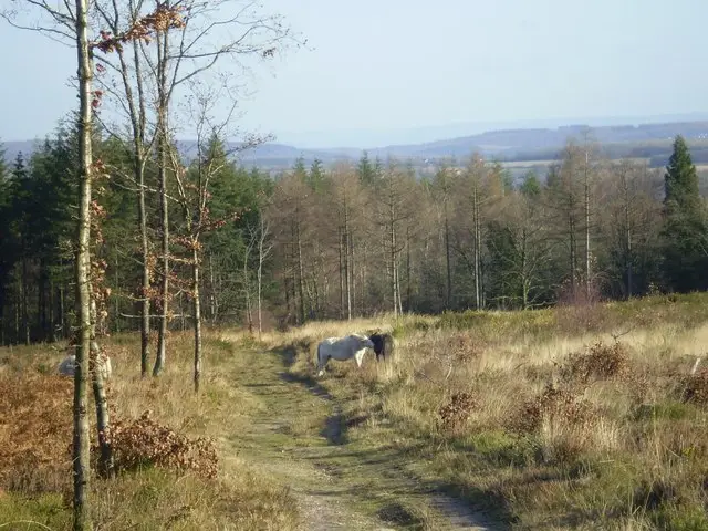
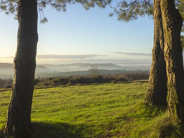
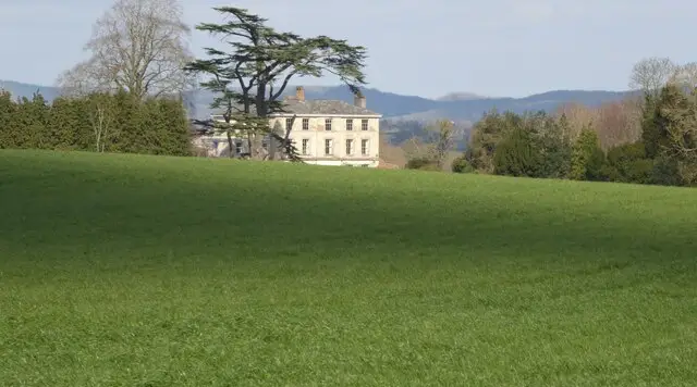
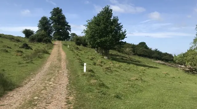
Wooded limestone hillside in the Wye Valley near Symonds Yat, with veteran oak and beech trees
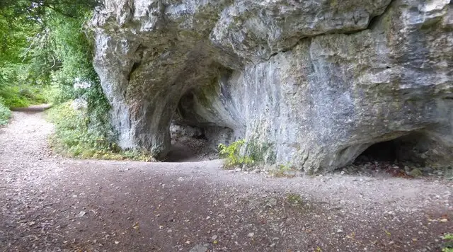
King Arthurs Cave · Photo: Philip Halling

King Arthurs Cave sits in Lord's Wood on The Doward, a wooded limestone hill above the River Wye near Symonds Yat. This walk sets out from the village of Ganarew and heads up into Little Doward Wood, 82 hectares of ancient woodland with many veteran oak and beech trees, part of the Wye Valley Woods.

The route passes the entrance to Little Doward hill fort, a large Iron Age site with double ramparts and the remains of around 30 hut platforms, now wrapped in woodland. Close by is the Hermit's Hut, an early 19th century garden feature built into the rampart. You also pass near the hamlets of Little Doward and Crocker's Ash.

The cave itself is the highlight. Excavations here in the 19th and 20th centuries turned up Palaeolithic and Mesolithic stone tools alongside the remains of extinct Ice Age mammals, and the name has long been tied up with local legend. Expect a hilly walk with several moderate climbs and rough, rocky ground near the cave, a rewarding half day out for anyone who enjoys woodland and a bit of history.

Download the Gloucestershire Walks App to follow this route with real-time GPS navigation.

Download on the App Store Get it on Google Play

On a computer? Scan the QR code with your phone's camera to get the Gloucestershire Walks app.

King Arthurs Cave walk 01

King Arthurs Cave Walk

Walk distance
3¾ miles
Time
2 hours
Route type
Circular

King Arthurs Cave is the goal of this walk through the wooded limestone country of The Doward, above the Wye Valley near Symonds Yat.

It starts by the village of Ganarew and climbs up into Little Doward Wood, an area of ancient woodland with veteran oak and beech.

On the way you pass the entrance to Little Doward Iron Age hill fort, whose double ramparts and hut platforms now lie under the trees, and the early 19th century Hermit's Hut built into the side of a rampart. Further on you pass close to the hamlets of Little Doward and Crocker's Ash before the last stretch to King Arthurs Cave, a limestone cave in Lord's Wood where the bones of Ice Age animals and early stone tools have been found.

Expect several moderate climbs, with steep, rocky ground in Lord's Wood near the cave.
King Arthurs Cave Walk View and rate this walk in the Gloucestershire Walks App

Navigate the walks

Gloucestershire Walks App

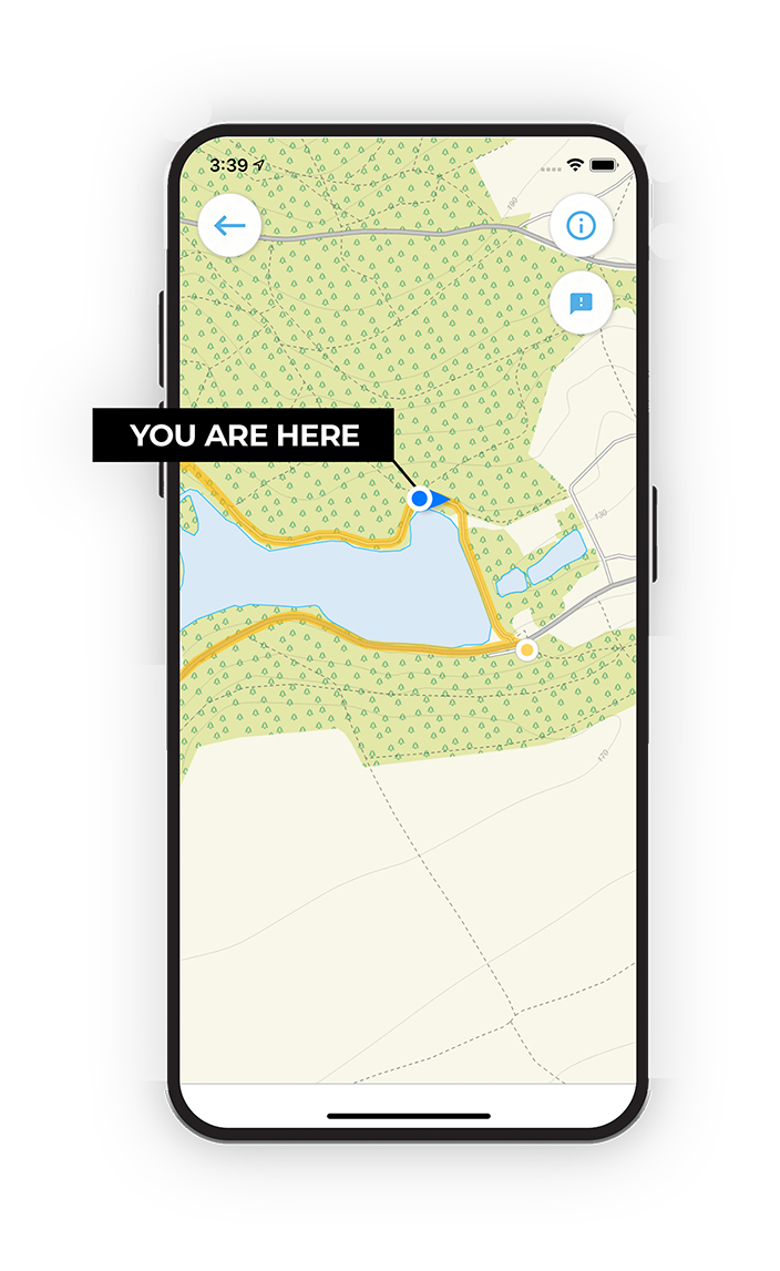
Follow the King Arthurs Cave walk with GPS guidance

It's like sat-nav, but for footpaths.

Choose a walk and follow the pointer showing your live position on the route map, so you always know you're on the right path.

The app works without a phone signal, so you can keep following the route wherever the walk takes you.

Download the app

Download on the App Store Get it on Google Play

On a computer? Scan the QR code with your phone's camera to get the Gloucestershire Walks app.

Gloucestershire Walks app showing the walker's live position on a route map

Designed to be simple

  • Choose a walk and follow the pointer
  • See your live position on the route map
  • Works without a phone signal
  • Includes 200 Gloucestershire walks
  • Free one-month trial
  • Available for iPhone and Android

Explore the area

Nearby walks

Explore the county

Gloucestershire walks map

Map data © OpenStreetMap contributors

Search Gloucestershire walks

See where the walks start, explore the area and tap a pin to find a route for your next adventure.

Search Gloucestershire walks
Expanded route map for King Arthurs Cave Walk, a 3.75 mile circular walk in Gloucestershire