

Gloucestershire Walks

Daffodil Way Walk and Route Map

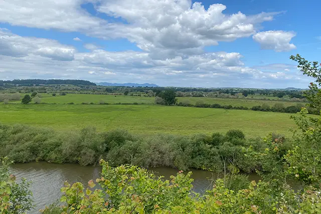
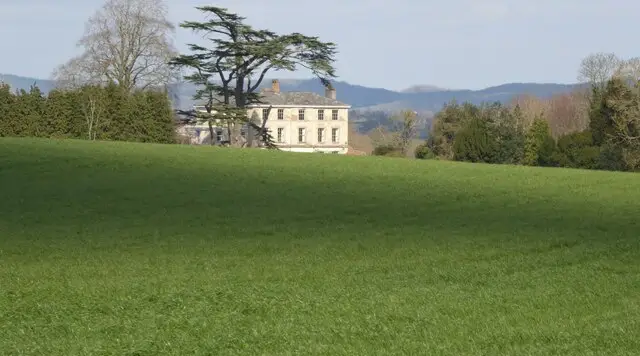
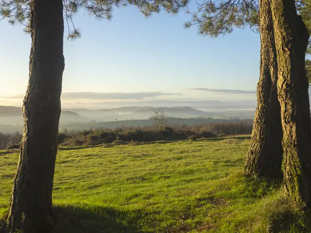
Quiet Gloucestershire countryside with fields, hedgerows and trees on a walk near Dymock
Daffodil Way · Photo: Philip Halling

The Daffodil Way is a circular walk of about 9 miles from Dymock, a village in the west of Gloucestershire close to the Herefordshire border. It takes its name from the daffodil country around the village, and Dymock's church of St Mary, the Beauchamp Arms and the war memorial all sit close to where the route begins and ends.

The walk heads out across low, gently rolling countryside, crossing the River Leadon and passing the lines of the old Gloucester & Ledbury Railway and the Hereford & Gloucester Canal, both now part of the area's past. Further on there are woods to pass, including Haind Park Wood, Allums Grove, Oxenhall Wood and Dymock Wood, and Kempley Brook and the church of St Mary at Kempley mark the western side of the loop. The hamlets of Fishpool and Four Oaks and the manor of Boyce Court are also close to the route.

It is a long walk but an easy-going one, with very little climbing, so it suits a relaxed half day or more of steady walking. Follow the route map on the app to keep on track.

Download the Gloucestershire Walks App to follow this route with real-time GPS navigation.

Download on the App Store Get it on Google Play

On a computer? Scan the QR code with your phone's camera to get the Gloucestershire Walks app.

Daffodil Way walk 01

Daffodil Way Circular Walk from Dymock

Walk distance
9 miles
Time
4.5 hours
Route type
Circular

The Daffodil Way is a long, low-level circuit from Dymock in the Gloucestershire countryside near the Herefordshire border, and the walk takes its name from the daffodil country around the village.

It starts by Dymock's church of St Mary and crosses the River Leadon, close to the line of the old Gloucester & Ledbury Railway and the course of the Hereford & Gloucester Canal.

The route then heads west through a string of woods, including Haind Park Wood and Allums Grove, and passes a stretch marked on the map as a Roman road. Kempley Brook leads to St Mary's church at Kempley, with the hamlet of Fishpool near the far point of the walk.

The way back passes Oxenhall Wood, Dymock Wood and Betty Daw's Wood, then the old railway line again and the manor of Boyce Court. It finishes in Dymock by the Beauchamp Arms and the war memorial. Climbs are few and gentle, so the effort comes from the length, which makes it a good half-day or longer outing.
Daffodil Way Circular Walk from Dymock View and rate this walk in the Gloucestershire Walks App

Navigate the walks

Gloucestershire Walks App

Follow the Daffodil Way walk with GPS guidance

It's like sat-nav, but for footpaths.

Choose a walk and follow the pointer showing your live position on the route map, so you always know you're on the right path.

The app works without a phone signal, so you can keep following the route wherever the walk takes you.

Download the app

Download on the App Store Get it on Google Play

On a computer? Scan the QR code with your phone's camera to get the Gloucestershire Walks app.

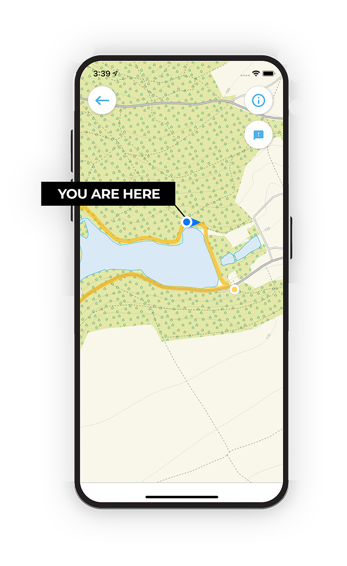
Gloucestershire Walks app showing the walker's live position on a route map

Designed to be simple

  • Choose a walk and follow the pointer
  • See your live position on the route map
  • Works without a phone signal
  • Includes 200 Gloucestershire walks
  • Free one-month trial
  • Available for iPhone and Android

Explore the area

Nearby walks

Explore the county

Gloucestershire walks map

Map data © OpenStreetMap contributors

Search Gloucestershire walks

See where the walks start, explore the area and tap a pin to find a route for your next adventure.

Search Gloucestershire walks
Expanded route map for Daffodil Way Circular Walk from Dymock, a 9 mile circular walk in Gloucestershire