

Gloucestershire Walks

Berkeley Deer Park Walks and Route Maps

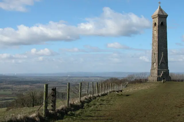
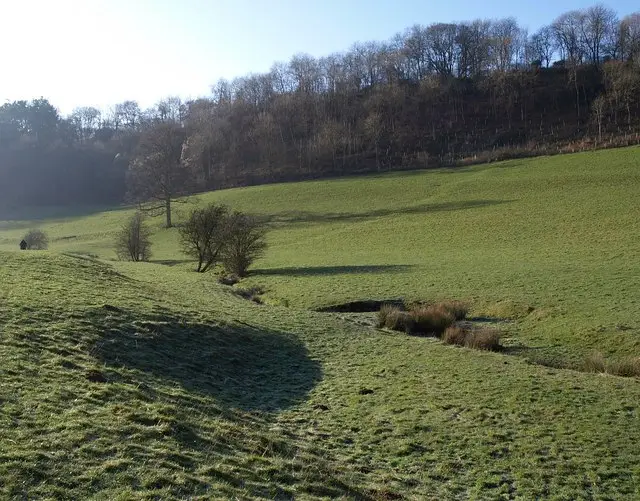
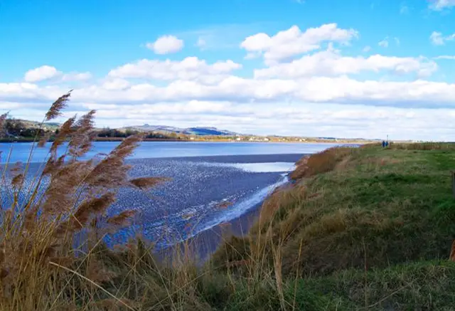
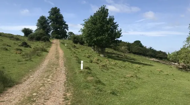
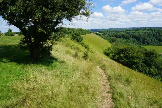
A footpath crossing open Gloucestershire farmland near Berkeley under a wide sky
Berkeley Deer Park · Photo: Don Cload

The Berkeley Deer Park walk starts in Ham, a small village in the Gloucestershire countryside just outside the historic town of Berkeley. It is a circular route of about 5.5 miles that mixes farmland, quiet field edges and stretches beside the Little Avon River before heading into Berkeley itself.

The ground is low-lying and the walking is mostly easy. There is one steady climb near the start, and after that the route stays gentle, with water close by for a good part of the way. Along the route you pass the hamlet of Hystfield, the wood at Cat Grove and the stream crossings in Berkeley, including Doverte Brook.

The walk ends back in Ham, passing the village Book Box and The Salutation pub. Berkeley Kennels, a small folly on the edge of Berkeley, is a curious sight on the final stretch. It makes a pleasant half day out for anyone who likes quiet countryside with a little local interest.

Download the Gloucestershire Walks App to follow this route with real-time GPS navigation.

Download on the App Store Get it on Google Play

On a computer? Scan the QR code with your phone's camera to get the Gloucestershire Walks app.

Berkeley Deer Park walk 01

Berkeley Deer Park Walk

Walk distance
5½ miles
Time
3 hours
Route type
Circular

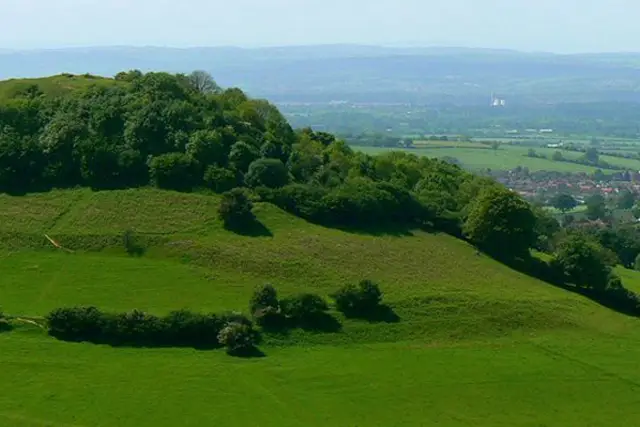
This gentle circuit explores the pretty Whitcliff Deer Park which sits across low-lying Gloucestershire countryside close to Berkeley.

Apart from a steady climb early on, the going is mostly easy and level, so it suits a relaxed morning or afternoon.

Out in the farmland you pass close to Blackhall and the hamlet of Hystfield, with a short stretch by the wood at Cat Grove along the way. Later the route meets the Little Avon River, and water is a thread through much of the walk.

The approach to Berkeley takes you over Doverte Brook and past Berkeley Pill. Close by is Berkeley Kennels, a small folly on the edge of town. Back in Ham you pass the village Book Box and The Salutation pub.
Berkeley Deer Park Walk View and rate this walk in the Gloucestershire Walks App

Navigate the walks

Gloucestershire Walks App

Follow the Berkeley Deer Park walk with GPS guidance

It's like sat-nav, but for footpaths.

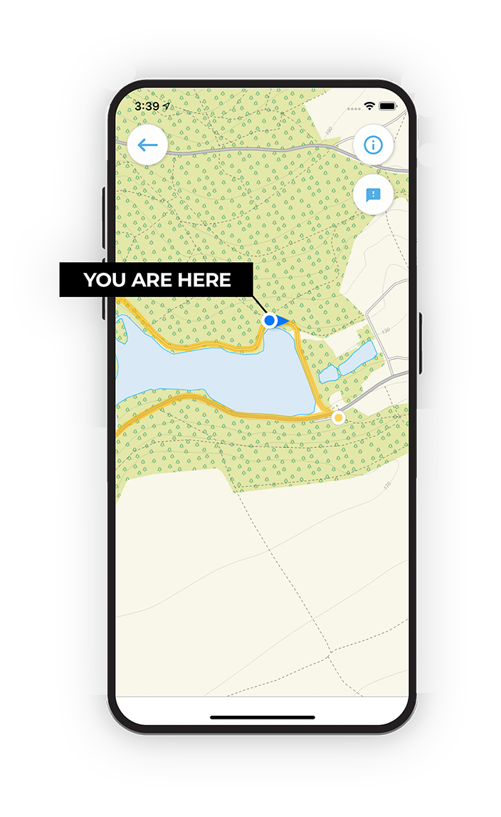
Choose a walk and follow the pointer showing your live position on the route map, so you always know you're on the right path.

The app works without a phone signal, so you can keep following the route wherever the walk takes you.

Download the app

Download on the App Store Get it on Google Play

On a computer? Scan the QR code with your phone's camera to get the Gloucestershire Walks app.

Gloucestershire Walks app showing the walker's live position on a route map

Designed to be simple

  • Choose a walk and follow the pointer
  • See your live position on the route map
  • Works without a phone signal
  • Includes 200 Gloucestershire walks
  • Free one-month trial
  • Available for iPhone and Android

Explore the area

Nearby walks

Explore the county

Gloucestershire walks map

Map data © OpenStreetMap contributors

Search Gloucestershire walks

See where the walks start, explore the area and tap a pin to find a route for your next adventure.

Search Gloucestershire walks
Expanded route map for Berkeley Deer Park Walk, a 5.5 mile circular walk in Gloucestershire