

Gloucestershire Walks

Hawkesbury Upton Walks and Route Maps

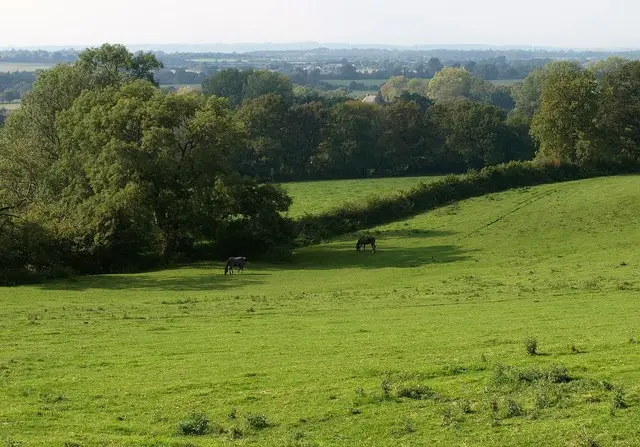
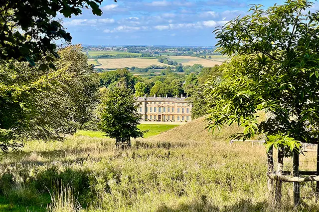
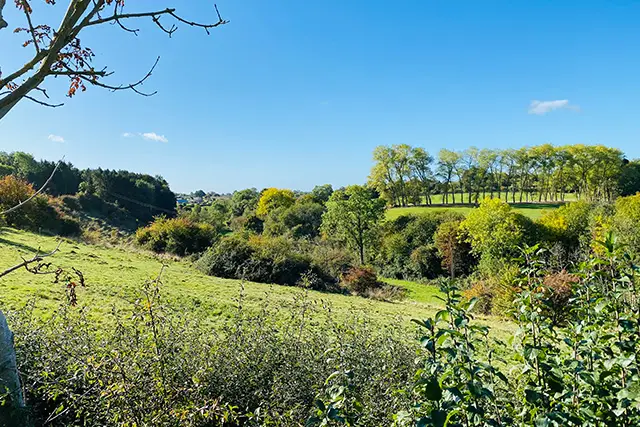
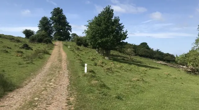
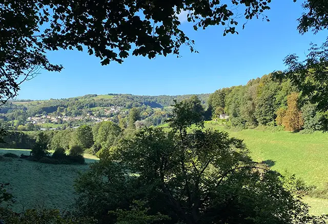
Cotswold edge countryside and stone houses near Hawkesbury Upton in Gloucestershire
Hawkesbury Upton · Photo: Bill Boaden

Hawkesbury Upton is a village of around 1,200 people on the Cotswold edge in South Gloucestershire, surrounded by rolling countryside and sitting well above the valley to the west. It was once simply known as Upton, and the parish still takes in a scattering of smaller hamlets including Hawkesbury, Upper and Lower Kilcott and Starveall. The village has a good pub in the Beaufort Arms, a traditional 17th-century inn, and a few chapels that reflect its Nonconformist past.

The two walks here both start in the village. The shorter circuit is an easy outing that drops down to the hamlet of Hawkesbury, where the Grade I listed church of St Mary the Virgin has Saxon stonework and a story-rich Norman font. It also takes in a short stretch of the Monarch's Way.

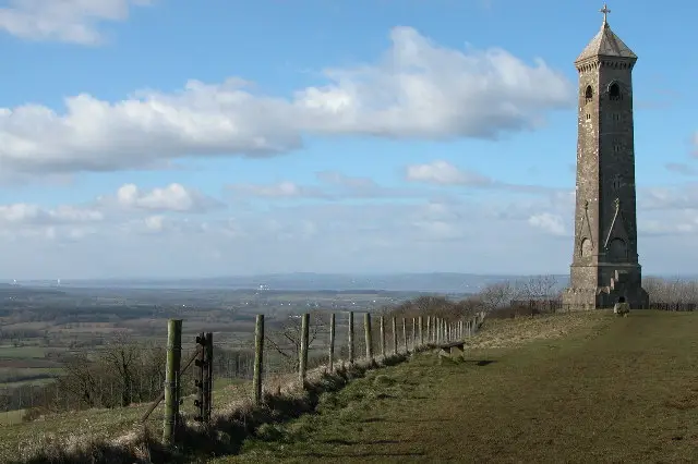
The longer walk heads north through Kilcott and Splatt's Wood, with two moderate climbs, before finishing at the Somerset Monument. This tall Grade II* listed tower on the Cotswold Edge was built in 1846 and carries the Beaufort arms. Between them the routes offer a taste of village streets, quiet lanes, woodland and open Cotswold views.

Download the Gloucestershire Walks App to follow these routes with real-time GPS navigation.

Download on the App Store Get it on Google Play

On a computer? Scan the QR code with your phone's camera to get the Gloucestershire Walks app.

Hawkesbury Upton walk 01

Hawkesbury Upton Short Walk

Walk distance
2 miles
Time
1 hour
Route type
Circular

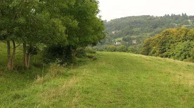
A short, easy-going circuit that shows off Hawkesbury Upton, a village on the edge of the Cotswolds, and the quiet countryside just west of it. The walk starts among the village streets, passing the Beaufort Arms, a 17th-century inn, and a couple of the village's chapels before heading out onto the edge of the village and across open country.

The highlight is the hamlet of Hawkesbury, a few cottages around a triangular green. Its Grade I listed church of St Mary the Virgin stands a little apart from the houses. It dates from the 12th century and was built on the site of a Saxon church. Along the way you also join a short stretch of the Monarch's Way, the long-distance path that loosely follows Charles II's escape route in 1651.

There is a steady climb on the return to the village and the walk suits a relaxed hour or so.
Hawkesbury Upton Short Walk View and rate this walk in the Gloucestershire Walks App

Hawkesbury Upton walk 02

Hawkesbury Upton and Somerset Monument Walk

Walk distance
4 miles
Time
2 hours
Route type
Circular

A longer circuit north of Hawkesbury Upton that links the village with the hamlets of Upper and Lower Kilcott and finishes at the Somerset Monument before heading back to the village. The tower was built in 1846 for Lord Robert Edward Somerset, a general at Waterloo and nephew of the 6th Duke of Beaufort. It is Grade II* listed, stands about 100 feet tall and carries the Beaufort arms. It sits on the Cotswold Edge and is a short step off the path.

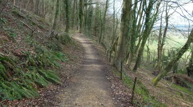
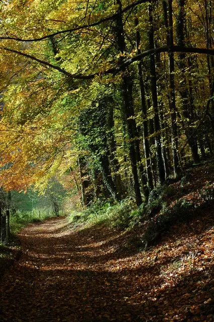
After leaving the village streets, the route follows Starveall Lane and picks up a stretch of the Monarch's Way, the 625-mile path that loosely traces Charles II's flight after the Battle of Worcester. Quiet lanes lead through Lower Kilcott, and Splatt's Wood adds a good stretch of woodland, with some of the walk running beside water.

Two moderate climbs make up the main effort, and the Beaufort Arms, a traditional 17th-century inn, is close to the finish. It makes a good morning or afternoon out.

Hawkesbury Upton and Somerset Monument Walk View and rate this walk in the Gloucestershire Walks App

Navigate the walks

Gloucestershire Walks App

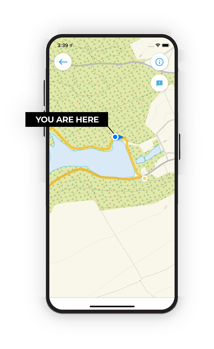
Follow the Hawkesbury Upton walks with GPS guidance

It's like sat-nav, but for footpaths.

Choose a walk and follow the pointer showing your live position on the route map, so you always know you're on the right path.

The app works without a phone signal, so you can keep following the route wherever the walk takes you.

Download the app

Download on the App Store Get it on Google Play

On a computer? Scan the QR code with your phone's camera to get the Gloucestershire Walks app.

Gloucestershire Walks app showing the walker's live position on a route map

Designed to be simple

  • Choose a walk and follow the pointer
  • See your live position on the route map
  • Works without a phone signal
  • Includes 200 Gloucestershire walks
  • Free one-month trial
  • Available for iPhone and Android

Explore the area

Nearby walks

Explore the county

Gloucestershire walks map

Map data © OpenStreetMap contributors

Search Gloucestershire walks

See where the walks start, explore the area and tap a pin to find a route for your next adventure.

Search Gloucestershire walks
Expanded route map for Hawkesbury Upton Short Walk, a 2 mile circular walk in Gloucestershire