

Gloucestershire Walks

Nailsworth Walks and Route Maps

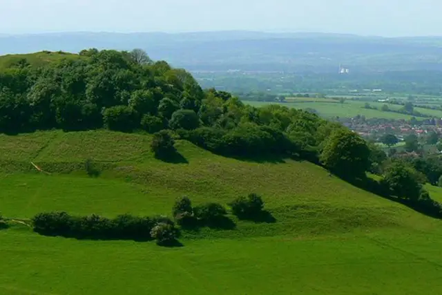
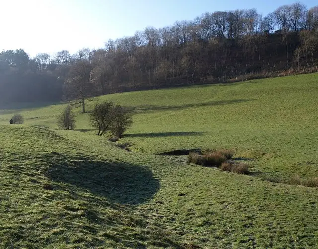
Wooded valley slopes above the Cotswold mill town of Nailsworth, with stone buildings and trees in the valley below
Nailsworth · Photo: Derek Harper

Nailsworth is a mill town at the south-western edge of the Cotswolds, where several wooded valleys meet. Many of its old wool mills now hold shops, galleries and places to eat, and the mix of red brick and Cotswold stone gives the town its distinctive look. It makes an easy base for a walk, with woods and valley sides close to the centre.

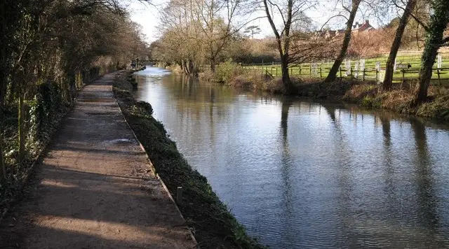
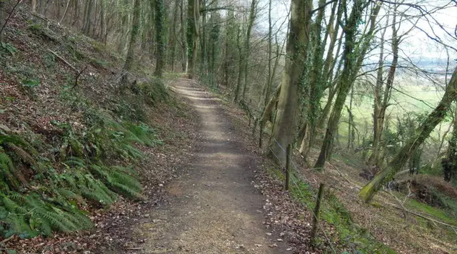
The three circular walks here all start in Nailsworth and share the same opening, a steady climb out of town followed by Shipton's Grave Lane, a gravel track through the trees. Each then returns past Hazel Wood, the Weighbridge Inn at Balls Green, Iron Mills bridge and Box Wood, with water alongside for part of the way. The pub is a historic one beside an old packhorse trail and is known for its two-in-one pie.

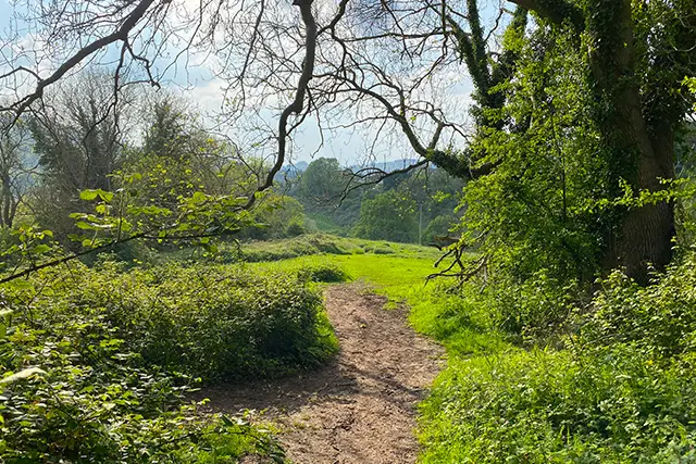
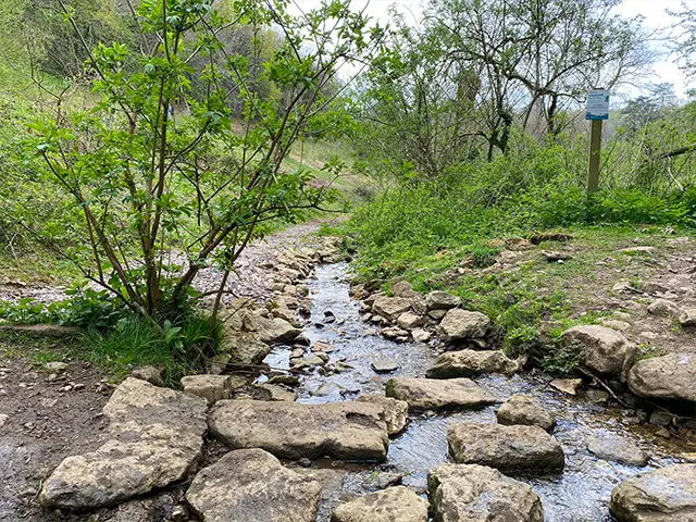
The longer routes also reach Avening, a village in a wooded valley with its Norman Church of the Holy Cross, dedicated in 1080. The longest adds the hamlet of Bartonend and Ledgemore Pond. Expect woodland, quiet lanes, a few good climbs and gravel tracks that can be puddly after rain.

Download the Gloucestershire Walks App to follow these routes with real-time GPS navigation.

Download on the App Store Get it on Google Play

On a computer? Scan the QR code with your phone's camera to get the Gloucestershire Walks app.

Nailsworth walk 01

Nailsworth Short Walk

Walk distance
2 miles
Time
1 hour
Route type
Circular

A short, steep little circuit out of Nailsworth, taking in woodland, a stretch beside water and a country pub, all within a morning or afternoon.

The route heads out through woodland to the Weighbridge Inn at Balls Green, a historic pub beside the old packhorse trail.

From there it takes you on an adventurous climb through Hazel Wood before emerging from the woods into open land before dropping back towards the town with lovely views as you go.

Nailsworth itself is a mill town in a wooded valley at the edge of the Cotswolds, with Cotswold stone and red-brick buildings.

There is a fast road to cross by the pub, so take care there. The woodland areas can be muddy after wet weather, so sturdy footwear helps.
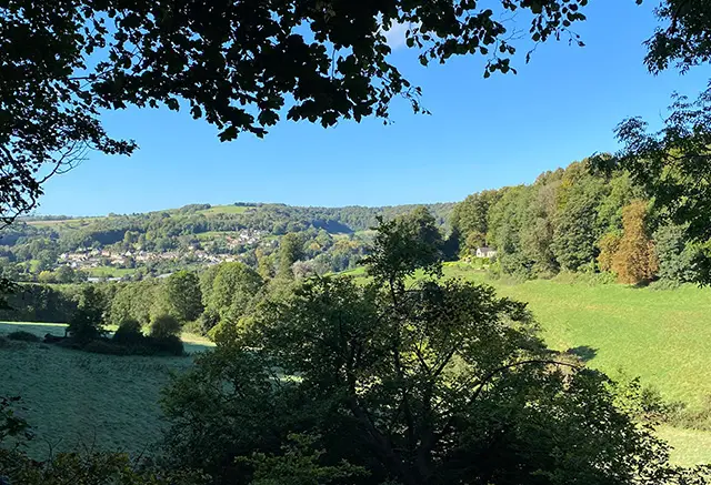
Nailsworth Short Walk View and rate this walk in the Gloucestershire Walks App

Nailsworth walk 02

Nailsworth and Avening Walk

Walk distance
4½ miles
Time
2 hours
Route type
Circular

A circuit out of the Cotswold mill town of Nailsworth, with woodland, a historic pub and the Norman church at Avening as its main points of interest. Early on the route climbs through woods to the Weighbridge Inn at Balls Green, a pub beside the old packhorse trail.

You'll then climb up through steep woodlands before embarking on a really pretty walk that takes you towards Avening and then back through open countryside before descending back to the village enjoying lovely views as you go.

The woodland sections can be muddy after wet weather, so sturdy footwear helps. There is also a fast road to cross by the pub, so take care.
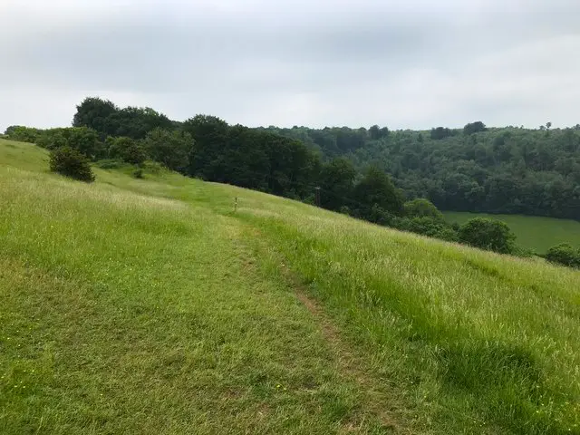
Nailsworth and Avening Walk View and rate this walk in the Gloucestershire Walks App

Nailsworth walk 03

Nailsworth, Avening and Ledgemore Pond Walk

Walk distance
6 miles
Time
3 hours
Route type
Circular

A long circuit out of the Cotswold mill town of Nailsworth, mixing steep wooded valley sides with quieter, more open countryside with nice views.

Early on the route climbs through woodland to the Weighbridge Inn at Balls Green, a historic pub beside the old packhorse trail. There is a fast road to cross near the pub, so take care.

After an adventurous climb through the woods you'll come to Avening, a village that grew up around the Church of the Holy Cross, dedicated in 1080 and still largely Norman, with a Norman tower and nave.

Later the route passes Ledgemore Pond and returns along Shipton's Grave Lane, with a couple of moderate climbs in the second half to bring you back towards town.

The woodland sections can be muddy after wet weather, so sturdy footwear helps. It is a good morning or afternoon out, with a pub and a village church as natural stops.
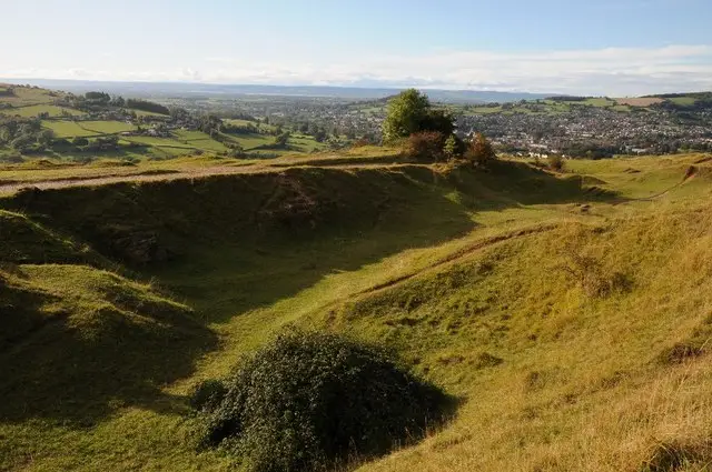
Nailsworth, Avening and Ledgemore Pond Walk View and rate this walk in the Gloucestershire Walks App

Navigate the walks

Gloucestershire Walks App

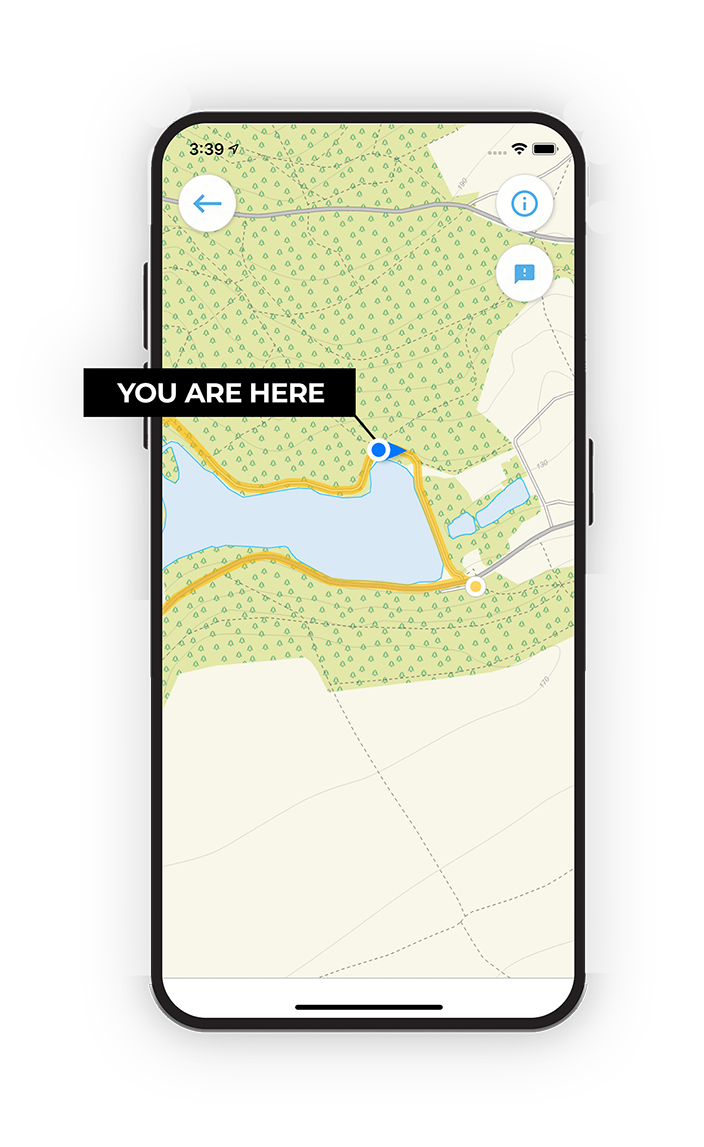
Follow the Nailsworth walks with GPS guidance

It's like sat-nav, but for footpaths.

Choose a walk and follow the pointer showing your live position on the route map, so you always know you're on the right path.

The app works without a phone signal, so you can keep following the route wherever the walk takes you.

Download the app

Download on the App Store Get it on Google Play

On a computer? Scan the QR code with your phone's camera to get the Gloucestershire Walks app.

Gloucestershire Walks app showing the walker's live position on a route map

Designed to be simple

  • Choose a walk and follow the pointer
  • See your live position on the route map
  • Works without a phone signal
  • Includes 200 Gloucestershire walks
  • Free one-month trial
  • Available for iPhone and Android

Explore the area

Nearby walks

Explore the county

Gloucestershire walks map

Map data © OpenStreetMap contributors

Search Gloucestershire walks

See where the walks start, explore the area and tap a pin to find a route for your next adventure.

Search Gloucestershire walks
Expanded route map for Nailsworth Short Walk, a 2 mile circular walk in Gloucestershire