

Gloucestershire Walks

Dowdeswell Wood Walks and Route Maps

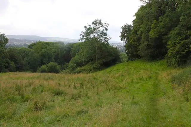
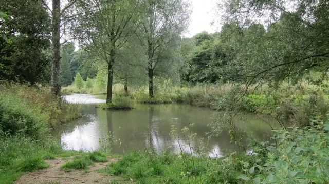
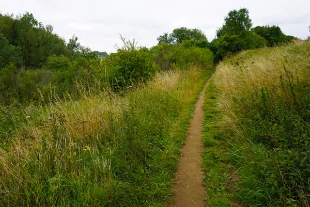
A woodland path beside still water at Dowdeswell Reservoir, with trees reaching down to the bank
Dowdeswell Wood · Photo: Ian S

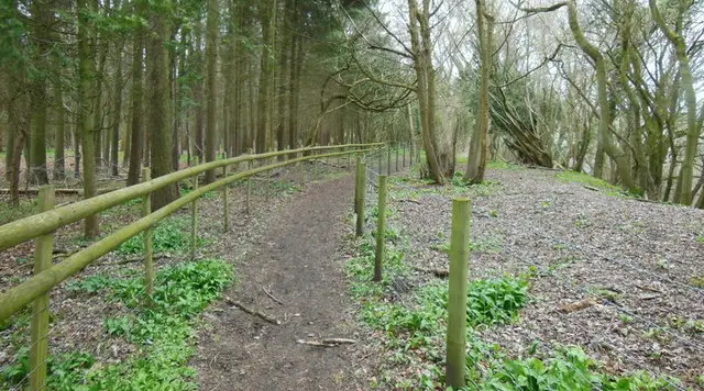
Dowdeswell Wood lies on the northern slopes of the Chelt valley, on the edge of the Cotswold escarpment just east of Charlton Kings and Cheltenham. It is a large area of woodland above Dowdeswell Reservoir, and it is crossed by way-marked paths that link with the Cotswold Way National Trail.

Three circular walks start from Lower Dowdeswell and share much of the same ground. The shortest keeps to gentle going beside the water, while the other two climb higher into the trees for a more energetic outing. All of them are wooded for almost their whole length, with the River Chelt and the reservoir alongside for a good part of the way.

The reservoir was built in 1886 to supply Cheltenham's growing spa town, and it is now valued as a place for wildlife. There is history on the route too: the old Banbury and Cheltenham Direct Railway once crossed the valley here on a tall brick viaduct. Paths can be muddy and uneven after rain, so wear sturdy footwear.

Download the Gloucestershire Walks App to follow these routes with real-time GPS navigation.

Download on the App Store Get it on Google Play

On a computer? Scan the QR code with your phone's camera to get the Gloucestershire Walks app.

Dowdeswell Wood walk 01

Dowdeswell Wood Short Walk

Walk distance
1¼ miles
Time
30 mins
Route type
Circular

A short, easy-going loop through Dowdeswell Wood.

The walk starts at Lower Dowdeswell, where the Banbury and Cheltenham Direct Railway once ran. A tall brick viaduct carried the line over the road here until it was demolished in 1967.

The nearby reservoir was built in 1886 to supply Cheltenham's growing spa town and is now a haven for wildlife. Climbing is gentle, though paths can be muddy and uneven in places.
Dowdeswell Wood Short Walk View and rate this walk in the Gloucestershire Walks App

Dowdeswell Wood walk 02

Dowdeswell Wood Walk

Walk distance
1½ miles
Time
30 mins
Route type
Circular

A slightly longer loop that climbs higher into Dowdeswell Wood. Almost the whole route is under trees, with the River Chelt and Dowdeswell Reservoir making a calm contrast at the lower end.

The walk begins at Lower Dowdeswell, close to the line of the old Banbury and Cheltenham Direct Railway. A steep pull comes early on, so it is worth taking your time, and it is followed by easier going as you come back down towards the valley. Expect mud and some uneven sections after wet weather.

Dowdeswell Wood Walk View and rate this walk in the Gloucestershire Walks App

Dowdeswell Wood walk 03

Dowdeswell Wood and Reservoir Walk

Walk distance
2½ miles
Time
1 hour
Route type
Circular

The longest of the Dowdeswell Wood routes takes you furthest into the woodland on the northern slopes of the Chelt valley. It is wooded from start to finish, with a long, steady climb at the beginning and the highest ground of the three walks, before the path comes back down to the River Chelt and Dowdeswell Reservoir.

You begin at Lower Dowdeswell, where the Banbury and Cheltenham Direct Railway once crossed the valley on a high brick viaduct. The reservoir, built in 1886 to supply Cheltenham, makes a fine finish, and its surroundings are known for wildlife. Paths can be muddy and uneven in places, so sturdy footwear helps. It makes a good short morning or afternoon out.

Dowdeswell Wood and Reservoir Walk View and rate this walk in the Gloucestershire Walks App

Navigate the walks

Gloucestershire Walks App

Follow the Dowdeswell Wood walks with GPS guidance

It's like sat-nav, but for footpaths.

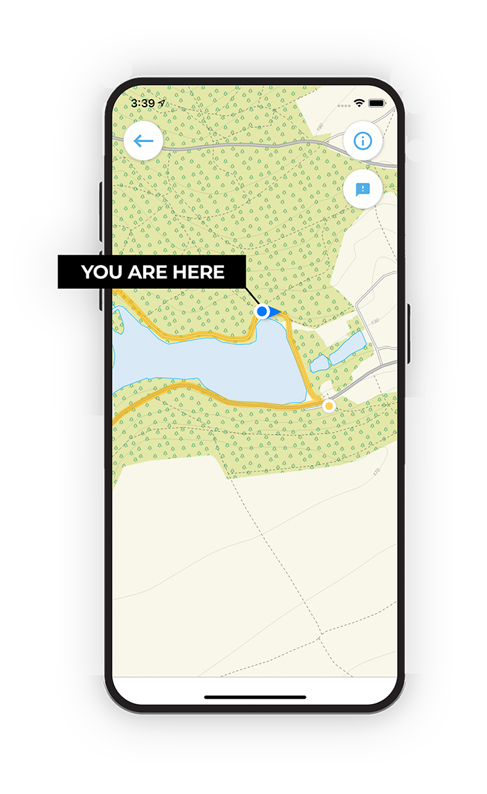
Choose a walk and follow the pointer showing your live position on the route map, so you always know you're on the right path.

The app works without a phone signal, so you can keep following the route wherever the walk takes you.

Download the app

Download on the App Store Get it on Google Play

On a computer? Scan the QR code with your phone's camera to get the Gloucestershire Walks app.

Gloucestershire Walks app showing the walker's live position on a route map

Designed to be simple

  • Choose a walk and follow the pointer
  • See your live position on the route map
  • Works without a phone signal
  • Includes 200 Gloucestershire walks
  • Free one-month trial
  • Available for iPhone and Android

Explore the area

Nearby walks

Explore the county

Gloucestershire walks map

Map data © OpenStreetMap contributors

Search Gloucestershire walks

See where the walks start, explore the area and tap a pin to find a route for your next adventure.

Search Gloucestershire walks
Expanded route map for Dowdeswell Wood Short Walk, a 1.25 mile circular walk in Gloucestershire