

Gloucestershire Walks

Kings Stanley Walks and Route Maps

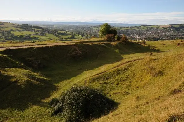
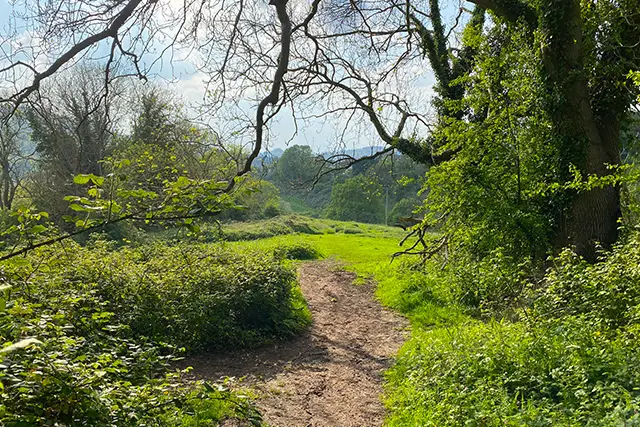
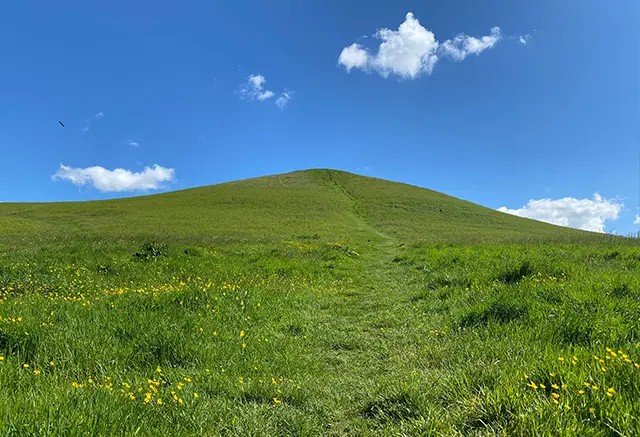
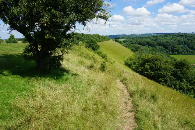
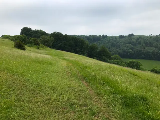
Footpath crossing open common land above a Gloucestershire village, with wide views over the valley below
Kings Stanley · Photo: Philip Halling

Kings Stanley is a Gloucestershire village on the edge of the Stroud valleys, with a long history. Its manor once belonged to the Mercian kings, and the old parish was large enough for Selsley to be split off from it in 1863. Two circular walks start from the village, one short and one longer, so you can choose between a quick stroll and a proper half-day outing.

The shorter walk is a gentle loop of just under 2 miles, passing the River Frome, the Thames & Severn Way, Kings Stanley Baptist Church and the hamlet of Middleyard before returning to the village green.

The longer route of about 5 miles is the more varied. It follows the River Frome and the Stroudwater Navigation, passes the Obelisk and Ebley Mill, then climbs through Selsley to Selsley Common, where you will find the Millennium Stone and Toots long barrow. The return runs through Stanley Wood and back to the village. Pubs and cafés at Kings Stanley, Ebley and Selsley are handy for a break along the way.

Download the Gloucestershire Walks App to follow these routes with real-time GPS navigation.

Download on the App Store Get it on Google Play

On a computer? Scan the QR code with your phone's camera to get the Gloucestershire Walks app.

Kings Stanley walk 01

Kings Stanley Short Walk

Walk distance
1¾ miles
Time
1 hour
Route type
Circular

A short, easy-going loop around Kings Stanley, a village whose manor once belonged to the Mercian kings.

The return takes you past Kings Stanley Baptist Church and through the hamlet of Middleyard, with a gentle climb through the middle of the walk. It finishes by The Green, close to The Village Inn.

Its a simple walk that suits a short outing or a quick leg-stretch for some exercise, and it can be muddy at times.
Kings Stanley Short Walk View and rate this walk in the Gloucestershire Walks App

Kings Stanley walk 02

Kings Stanley and Selsley Common Walk

Walk distance
5 miles
Time
2.5 hours
Route type
Circular

The longer Kings Stanley walk is a much more varied adventure, and links the valley floor with the airy top of Selsley Common.

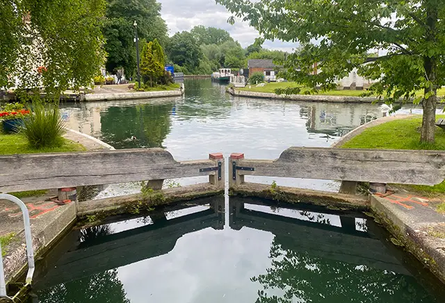
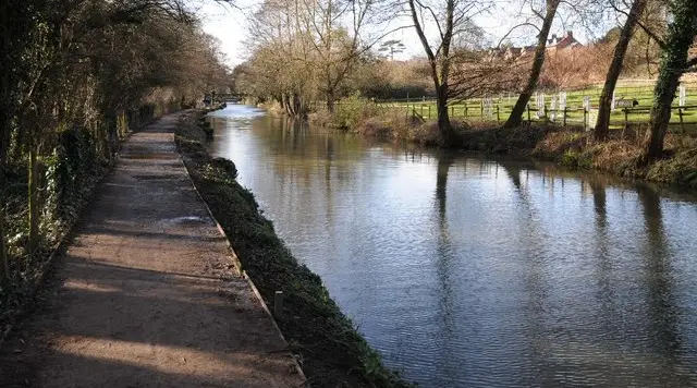
It starts along the River Frome and the Stroudwater Navigation, passing the old Nailsworth Branch railway trackbed on the way to Ebley. Here you pass the Obelisk, the Spill Weirs information point and Ebley Mill, with cafés and the Coach and Horses nearby.

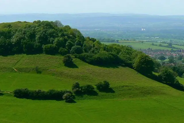
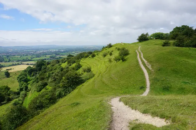
A steady climb leads up to Selsley, with its war memorial and All Saints Church, then a long, steep pull takes you onto Selsley Common. This is a highlight: open common land with the Millennium Stone and Toots long barrow close to the path, and wide views over the Severn Vale on a clear day.

The way back drops through Stanley Wood and the hamlet of Selsey West, then passes Kings Stanley Baptist Church and Middleyard before finishing in the village by The Village Inn. A good morning or afternoon out, with the climb the main effort.

Kings Stanley and Selsley Common Walk View and rate this walk in the Gloucestershire Walks App

Navigate the walks

Gloucestershire Walks App

Follow the Kings Stanley walks with GPS guidance

It's like sat-nav, but for footpaths.

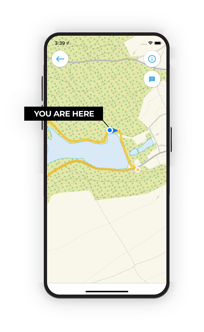
Choose a walk and follow the pointer showing your live position on the route map, so you always know you're on the right path.

The app works without a phone signal, so you can keep following the route wherever the walk takes you.

Download the app

Download on the App Store Get it on Google Play

On a computer? Scan the QR code with your phone's camera to get the Gloucestershire Walks app.

Gloucestershire Walks app showing the walker's live position on a route map

Designed to be simple

  • Choose a walk and follow the pointer
  • See your live position on the route map
  • Works without a phone signal
  • Includes 200 Gloucestershire walks
  • Free one-month trial
  • Available for iPhone and Android

Explore the area

Nearby walks

Explore the county

Gloucestershire walks map

Map data © OpenStreetMap contributors

Search Gloucestershire walks

See where the walks start, explore the area and tap a pin to find a route for your next adventure.

Search Gloucestershire walks
Expanded route map for Kings Stanley Short Walk, a 1.75 mile circular walk in Gloucestershire