

Staffordshire Walks

The Cloud Walks & Route Maps

The Cloud walk, Staffordshire
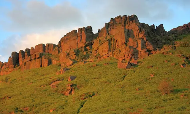
The Cloud · Photo: Raymond Knapman

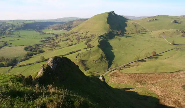
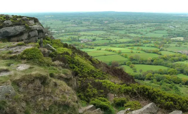
Right on the edge of Staffordshire and just over into Cheshire, The Cloud offers big views and even bigger adventures, and these walks make the most of this wonderful landscape.

The walks range from a short but steep climb to the summit, where you’ll feel on top of the world, to gentler countryside loops through farmland, woodland and along the Macclesfield Canal.

If you’re feeling energetic, you can combine routes for a longer, hillier day out with sweeping panoramas, peaceful canal-side stretches and plenty of varied terrain to enjoy.

Download the Staffordshire Walks App to follow these routes with real-time GPS navigation.

Download on the App Store Get it on Google Play

Walk information

The Cloud Walk 1

Walk distance
2½ miles
Time
1 hour
Route type
Circular

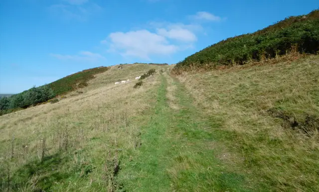
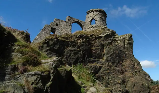
This walk is slightly over the county border into Cheshire, but it's worth it for this short but strenuous adventure where you'll feel on top of the world.

Although it's a relatively short walk, be prepared for an energetic hike to the top of The Cloud where you will be rewarded with spectacular views across the surrounding Staffordshire and Cheshire countryside.

The Cloud Walk 1 5.0 Ratings and reviews 3 ratings

Based on 3 user ratings

Community feedback

Overall rating5.0

An outstanding walk

Dog friendly5.0 / 5
Path condition4.0 / 5
Buggy friendly1.0 / 5
Wheelchair friendly1.0 / 5
Toilet facilities1.0 / 5
Pub or café0.7 / 5
Route accuracy5.0 / 5
ClimbingPlenty of climbing
LivestockSome livestock
StilesA stile or two
Mud levelMostly dry

Real feedback from people who have completed this walk using the Staffordshire Walks app.

Walk information

The Cloud Walk 2

Walk distance
3¾ miles
Time
2 hours
Route type
Circular

The first walk to the Cloud is obviously the glory walk from this starting point, but if you want a lighter alternative with less climbing, then this second route is a lovely walking loop in the pretty countryside between Congleton and Timbersbrook.

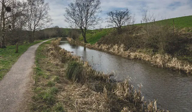
The walk mainly takes you through peaceful open farmland but about half way around the walk you get a stretch of canal-side walking alongside the Macclesfield Canal and also an additional loop that ventures into the pretty Dane in Shaw Pastures.

The Cloud Walk 2 No ratings yet Be the first - rate this walk in the Staffordshire Walks App

Walk information

The Cloud Walk 3

Walk distance
5½ miles
Time
2.5 hours
Route type
Circular

This third route is a wonderful walk that basically combines the first two walks together to create a long and varied adventure in this lovely area.

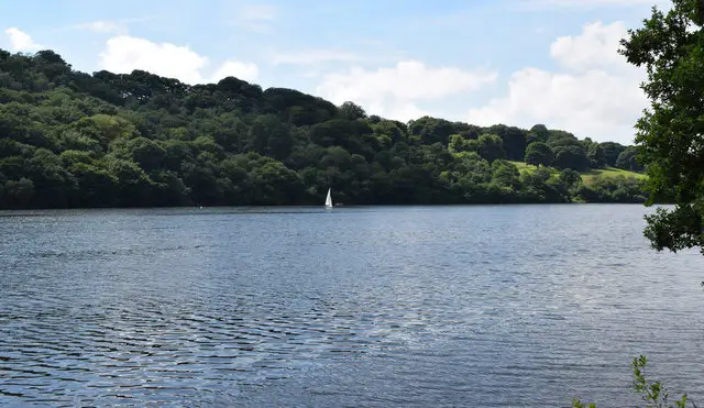
You'll enjoy the climbing and epic views from the cloud, the woodland paths at the base of the Cloud hill, the canal-side meander along the Macclesfield Canal, the tranquil beauty of the Dane-in-Shaw pasture and of course all the peaceful countryside in between.

The Cloud Walk 3 4.5 Ratings and reviews 2 ratings · 1 review

Based on 2 user ratings

Community feedback

Overall rating4.5

An outstanding walk

Dog friendly3.5 / 5
Path condition4.0 / 5
Buggy friendly1.0 / 5
Wheelchair friendly1.0 / 5
Toilet facilities1.0 / 5
Pub or café2.0 / 5
Route accuracy4.5 / 5
ClimbingSome climbing
LivestockLivestock likely
StilesSeveral stiles
Mud levelBoots recommended

Real feedback from people who have completed this walk using the Staffordshire Walks app.

First-hand experiences

User reviews

Walker review

Nice little walk took me 2 hours not the 2:30 hours. Could of done with being able to zoom into the map a bit more as some uncertian turns for a novice.

Walk information

The Cloud Walk 4

Walk distance
8¼ miles
Time
4 hours
Route type
Circular

This final route option is the ultimate adventure in this lovely area just over the county border into Cheshire.

There are a lot of hills to tackle on this route, so you'll need to go prepared with energy and refreshments, but it's worth it for the lovely varied walk.

You'll enjoy majestic views from the various hills on the walk, a long sweeping walk along the pretty Macclesfield Canal, a stroll around the Dane in Shaw pasture and lots of peaceful open countryside.

It's a long walk so please ensure you have a full battery and alternative navigation before you head off. Only use the app when you need to for navigation as well as this will use less phone battery.

Finally, please be aware that there is a section of walking on a road half way around this route, so please be careful here.

The Cloud Walk 4 4.0 Ratings and reviews 1 rating

Based on 1 user rating

Community feedback

Overall rating4.0

A very popular walk

Dog friendly3.0 / 5
Path condition3.0 / 5
Buggy friendly1.0 / 5
Wheelchair friendly1.0 / 5
Toilet facilities2.0 / 5
Pub or café1.0 / 5
Route accuracy5.0 / 5
ClimbingSome climbing
LivestockRarely any livestock
StilesA stile or two
Mud levelMay be muddy after wet weather

Real feedback from people who have completed this walk using the Staffordshire Walks app.

Navigate the walks

Staffordshire Walks App

Follow the The Cloud walks with GPS guidance

It's like sat-nav, but for footpaths.

Choose a walk and follow the pointer showing your live position on the route map, so you always know you're on the right path.

The app works without a phone signal, so you can keep following the route wherever the walk takes you.

Download the app

Download on the App Store Get it on Google Play
Staffordshire Walks app showing the walker's live position on a route map

Designed to be simple

  • Choose a walk and follow the pointer
  • See your live position on the route map
  • Works without a phone signal
  • Includes 150+ Staffordshire walks
  • Free one-month trial
  • Available for iPhone and Android

Explore the area

Nearby walks

Explore the county

Staffordshire walks map

Map data © OpenStreetMap contributors

Search Staffordshire walks

See where the walks start, explore the area and tap a pin to find a route for your next adventure.

Search Staffordshire walks
Expanded route map for The Cloud Walk 1, a 2.5 mile circular walk in Staffordshire