

Staffordshire Walks

Danebridge Walks & Route Maps

Danebridge walk, Staffordshire
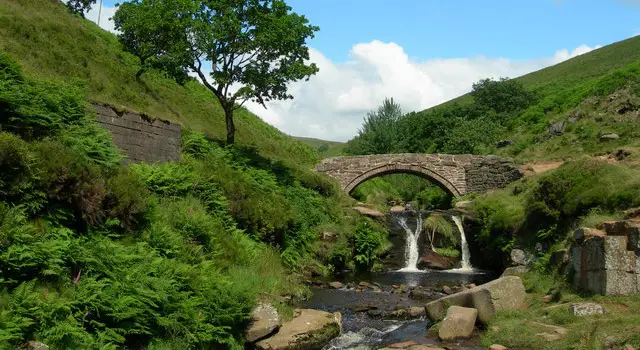
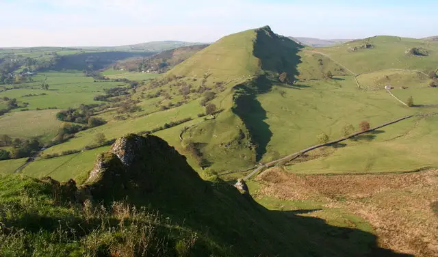
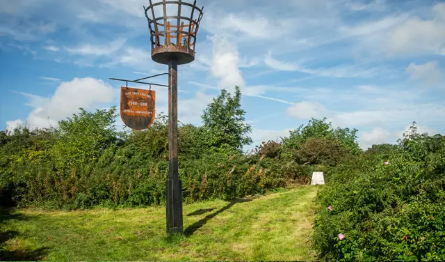
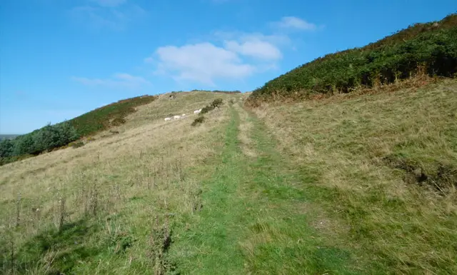
Danebridge · Photo: Mike Faherty

These walks from Danebridge offer three circular options through the beautiful countryside around Wincle and the River Dane.

The shorter routes meander across fields, woodland and riverside paths, with chances to follow the Dane Valley Way and enjoy peaceful valley views, while the longest option heads up onto Back Forest Ridge for a more strenuous adventure with rewarding panoramas and a visit to the dramatic rock formations of Lud’s Church.

Whichever you choose, the walks provide a lovely mix of water, woodland and open country – and you’ll certainly have earned a well-deserved stop at the village pub afterwards.

Download the Staffordshire Walks App to follow these routes with real-time GPS navigation.

Download on the App Store Get it on Google Play

Walk information

Danebridge Walk 1

Walk distance
2¾ miles
Time
1.5 hours
Route type
Circular

This first walk is the shortest of three circular walks from this location and starts close to the lovely pub in Wincle. There is limited roadside parking in the village, but the pub also has parking if you pop in and ask permission.

You will follow the pretty lane downhill, away from the pub until you see the footpath sign. This walk then takes you across fields until you reach the track that goes past the Danebridge Fisheries, where you can stop and feed the fish!

The route continues across fields and woodland, following the shape of the River Dane until you head away from the river across open countryside with some beautiful views before returning to the start.


Danebridge Walk 1 4.0 Ratings and reviews 1 rating

Based on 1 user rating

Community feedback

Overall rating4.0

A very popular walk

Dog friendly1.0 / 5
Path condition2.0 / 5
Buggy friendly1.0 / 5
Wheelchair friendly1.0 / 5
Toilet facilities1.0 / 5
Pub or café3.0 / 5
Route accuracy5.0 / 5
ClimbingPlenty of climbing
LivestockNo livestock
StilesNo stiles
Mud levelWellies when wet

Real feedback from people who have completed this walk using the Staffordshire Walks app.

Walk information

Danebridge Walk 2

Walk distance
3¾ miles
Time
2 hours
Route type
Circular

This second route is basically an extension to the first route if you have more time and want to stretch your legs a bit more!

It'll still enjoy the same beautiful countryside as the first route, but it also takes you on a much longer walk along the Dane Valley Way and alongside the river Dane.

Danebridge Walk 2 4.0 Ratings and reviews 1 rating · 1 review

Based on 1 user rating

Community feedback

Overall rating4.0

A very popular walk

Dog friendly5.0 / 5
Path condition4.0 / 5
Buggy friendly1.0 / 5
Wheelchair friendly1.0 / 5
Toilet facilities3.0 / 5
Pub or café3.0 / 5
Route accuracy4.0 / 5
ClimbingSome climbing
LivestockLivestock likely
StilesA stile or two
Mud levelBoots recommended

Real feedback from people who have completed this walk using the Staffordshire Walks app.

First-hand experiences

User reviews

Walker review

Fab walk, be careful of steps as you first start the walk. Very slippery!

Walk information

Danebridge Walk 3

Walk distance
4¾ miles
Time
2.5 hours
Route type
Circular

This final route heads in the opposite direction to the other two routes, and if you head clockwise it will take you along tracks that follow the River Dane, through woodland and pretty open countryside.

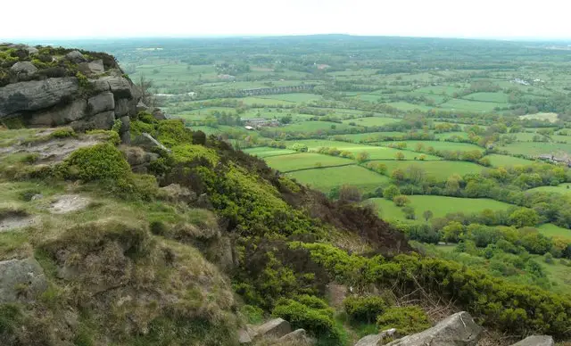
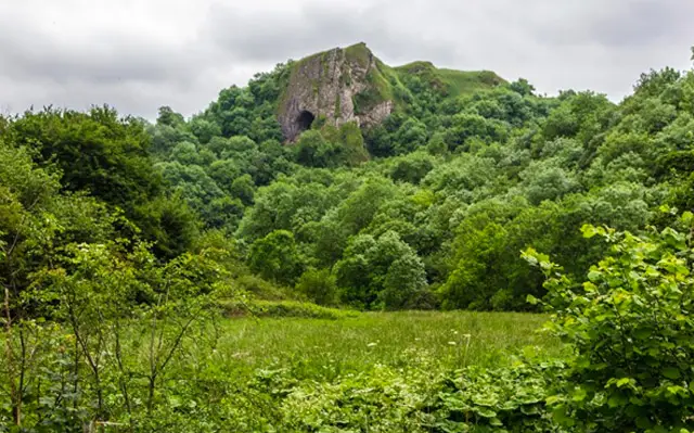
It then leads you back and over the Back Forest Ridge where you can visit Luds Church, a deep rock cleft and the hanging stone which are layers of rock overhanging the hill.

This is a strenuous walk with lots of climbing, but you will be rewarded with some impressive views across Staffordshire and you'll certainly work up a healthy appetite for your reward at the pub at the end of the walk.

Danebridge Walk 3 4.7 Ratings and reviews 3 ratings · 1 review

Based on 3 user ratings

Community feedback

Overall rating4.7

An outstanding walk

Dog friendly4.3 / 5
Path condition3.7 / 5
Buggy friendly1.0 / 5
Wheelchair friendly1.0 / 5
Toilet facilities1.7 / 5
Pub or café2.7 / 5
Route accuracy4.7 / 5
ClimbingSome climbing
LivestockSome livestock
StilesA few stiles on route
Mud levelBoots recommended

Real feedback from people who have completed this walk using the Staffordshire Walks app.

First-hand experiences

User reviews

Walker review

Absolutely loved it. We overshot a little bit to go to the cafe at the.mill, however its only open on the weekend, this maybe seasonal though, i am unsure. Had a beer at Wincle brewery bedore heading home x

Navigate the walks

Staffordshire Walks App

Follow the Danebridge walks with GPS guidance

It's like sat-nav, but for footpaths.

Choose a walk and follow the pointer showing your live position on the route map, so you always know you're on the right path.

The app works without a phone signal, so you can keep following the route wherever the walk takes you.

Download the app

Download on the App Store Get it on Google Play
Staffordshire Walks app showing the walker's live position on a route map

Designed to be simple

  • Choose a walk and follow the pointer
  • See your live position on the route map
  • Works without a phone signal
  • Includes 150+ Staffordshire walks
  • Free one-month trial
  • Available for iPhone and Android

Explore the area

Nearby walks

Explore the county

Staffordshire walks map

Map data © OpenStreetMap contributors

Search Staffordshire walks

See where the walks start, explore the area and tap a pin to find a route for your next adventure.

Search Staffordshire walks
Expanded route map for Danebridge Walk 1, a 2.75 mile circular walk in Staffordshire