

Staffordshire Walks

Three Shires Head Walk

Flash walk, Staffordshire
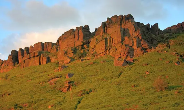
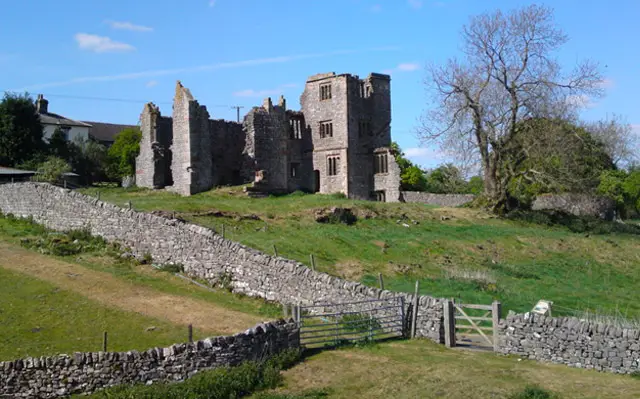
Flash · Photo: John Topping

Three Shires Head is a picturesque spot where the counties of Staffordshire, Derbyshire and Cheshire meet, high in the moorlands. On this wonderful walk you will visit the pretty waterfall and a series of pools which is fed from the River Dane. The walk up to Three Shires Head is well worth the energetic hike and on your return there is a great pub in Flash for refreshments. For more walks like this, take a look at the Staffordshire Walks app with 150 walks in Staffordshire or the Derbyshire Walks app with 250 walks in Derbyshire.

Download the Staffordshire Walks App to follow these routes with real-time GPS navigation.

Download on the App Store Get it on Google Play

On a computer? Scan the QR code with your phone's camera to get the Staffordshire Walks app.

Points of Interest

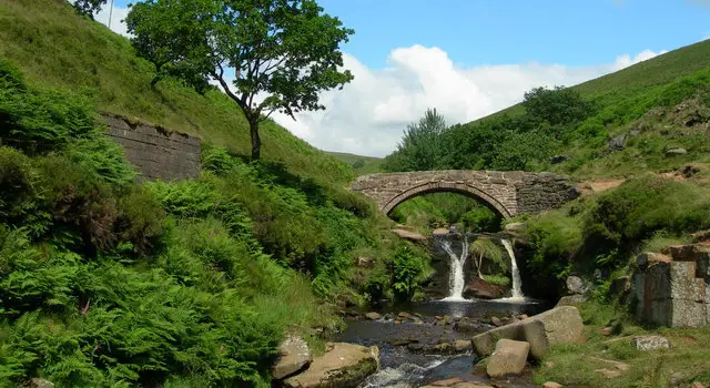
The Packhorse Bridge & Waterfall

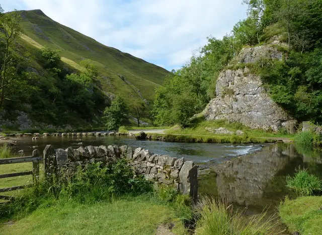
A charming packhorse bridge spans the River Dane at the tripoint of Staffordshire, Derbyshire, and Cheshire. The tumbling cascades and adjacent pools make this a popular picnic and photo spot.

County Tripoint

This is one of the few places in England where three counties meet: stand in one spot and you can face a different county in each direction.

Historical Crossing Point

Historically, this moorland spot served as a vital crossing for packhorses and even a hideout for brigands—local law enforcement couldn’t operate across county lines, which made this border location a handy escape route.

Scenic Moorland & River Valleys

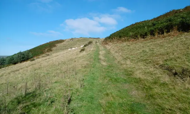
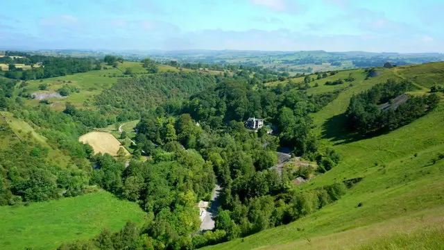
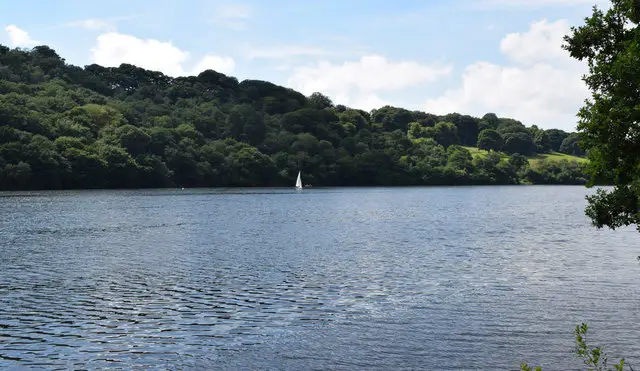
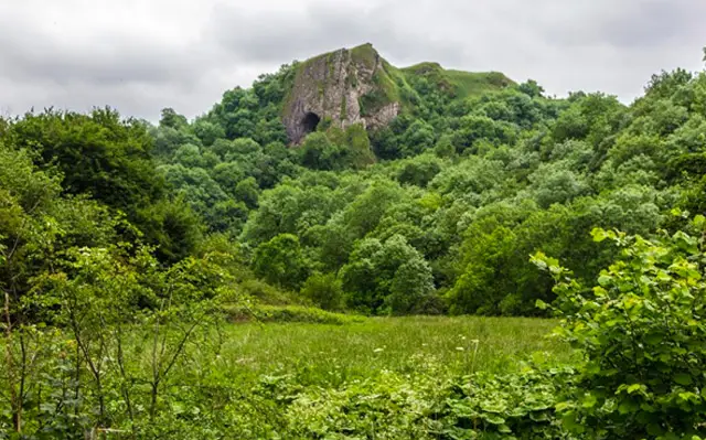
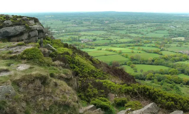
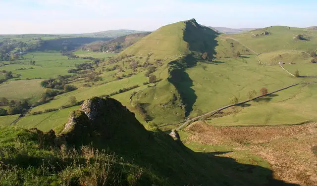
The Three Shires Head walk takes you through secluded river valleys, mature woodland, sheep-grazed pasture, and open heather moorland—an appealing mix of Peak District landscapes.

Frequently Asked Questions (FAQs)

Q: What makes the Three Shires Head walk special?

A: It's a moorland classic—combining a historic packhorse crossing, the point where three counties converge, waterfall pools, and Peak District character, all in one circuit.

Q: How tough is the terrain?

A: The route includes uneven, rocky ground, uneven ascent and descent, and can be muddy in places.

Q: Where does the walk start

A: The Three Shires Head walk starts in Flash (called Flash on the app), the start point and free roadside parking is located at grid reference 51.146489,-2.71722

Q: How long is the walk?

A: The walk is 3.75 to 6 miles. Depending on your route and pace, expect around 2 - 4 hours +.

Q: Is the climb difficult?

A: It’s steep in parts, but manageable for most. It may take longer if you take your time and enjoy the scenery.

Q: Are there refreshments?

A: There is a small village pub in Flash called The New Inn.

Q: Is there parking nearby?

A: The Staffordshire Walks app will take you to the parking and starting location.

Q: What about wildlife?

A: The area supports interesting wildlife, including moths and butterflies, especially in the moorland areas around Three?Shires?Head.

Flash walk 01

Three Shires Head Walk 1

Walk distance
3¾ miles
Time
2 hours
Route type
Circular

This first walk is a wonderful but strenuous adventure in the Moors close to the Staffordshire/Derbyshire border that explores some beautiful scenery in the area and visits the Three Shires Head bridge which offers a perfect photo opportunity.

The route takes you across open Moorland, over steep hills and through farmland so please ensure that you have the correct footwear and equipment for a strenuous walk.

You could also encounter livestock on this walk so dogs may need to be controlled and there is some walking along very quiet country lanes on the route.

Finally, there is a small village pub for refreshments after your energetic adventure in the Staffordshire Moors.

Three Shires Head Walk 1 4.5 Ratings and reviews 6 ratings · 3 reviews

Based on 6 user ratings

Community feedback

Overall rating4.5

An outstanding walk

Dog friendly4.0 / 5
Path condition3.3 / 5
Buggy friendly1.0 / 5
Wheelchair friendly1.0 / 5
Toilet facilities1.5 / 5
Pub or café3.2 / 5
Route accuracy4.7 / 5
ClimbingPlenty of climbing
LivestockSome livestock
StilesA few stiles on route
Mud levelMay be muddy after wet weather

Real feedback from people who have completed this walk using the Staffordshire Walks app.

First-hand experiences

User reviews

Walker review

Pub is only open on a sunday from 4pm till 10pm

Walker review

The 1.5 hours time is innacurate. It took our family of 4 and one dog nearly 3 hours on a hot day. That was with 20 mins rest. It has plenty of challenging sections, but worth it for some of the delights experienced along the way. Take cash for the farm house selling ice creams and drinks towards the end. The pub at the end was a welcome refreshment stop but does not sell food. Would definitely do the walk again. Thanks for the App and recommendation.

Walker review

Beautiful.

Flash walk 02

Three Shires Head Walk 2

Walk distance
6 miles
Time
3.5 hours
Route type
Circular

The second walk option is basically an extension of the first route that heads further north from Three Shires Head and explores more of the beautiful Staffordshire Moors. As with the first route, this takes you across open Moorland, over steep hills and through farmland so please ensure that you have the correct footwear and equipment for this walk. Dogs may need to be controlled at times around livestock, there are some quiet lane walking sections on the route and there is a small pub in the village.

Three Shires Head Walk 2 3.5 Ratings and reviews 2 ratings

Based on 2 user ratings

Community feedback

Overall rating3.5

A well-liked walk

Dog friendly4.0 / 5
Path condition3.0 / 5
Buggy friendly1.0 / 5
Wheelchair friendly1.5 / 5
Toilet facilities2.0 / 5
Pub or café2.5 / 5
Route accuracy4.5 / 5
ClimbingSome climbing
LivestockSome livestock
StilesSeveral stiles
Mud levelBoots recommended

Real feedback from people who have completed this walk using the Staffordshire Walks app.

Navigate the walks

Staffordshire Walks App

Follow the Flash walks with GPS guidance

It's like sat-nav, but for footpaths.

Choose a walk and follow the pointer showing your live position on the route map, so you always know you're on the right path.

The app works without a phone signal, so you can keep following the route wherever the walk takes you.

Download the app

Download on the App Store Get it on Google Play

On a computer? Scan the QR code with your phone's camera to get the Staffordshire Walks app.

Staffordshire Walks app showing the walker's live position on a route map

Designed to be simple

  • Choose a walk and follow the pointer
  • See your live position on the route map
  • Works without a phone signal
  • Includes 150+ Staffordshire walks
  • Free one-month trial
  • Available for iPhone and Android

Explore the area

Nearby walks

Explore the county

Staffordshire walks map

Map data © OpenStreetMap contributors

Search Staffordshire walks

See where the walks start, explore the area and tap a pin to find a route for your next adventure.

Search Staffordshire walks
Expanded route map for Three Shires Head Walk 1, a 3.75 mile circular walk in Staffordshire