

Staffordshire Walks

Cheeks Hill Walks and Route Maps

Open moorland on Axe Edge Moor with a small stream crossing the rough grassland under a wide sky
Cheeks Hill · Photo: Peter Barr

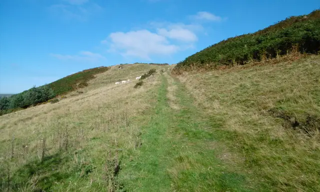
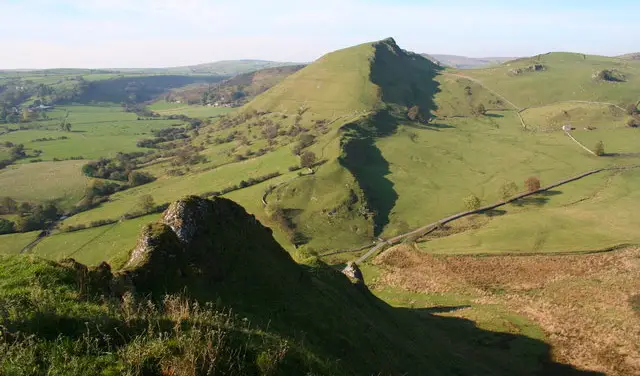
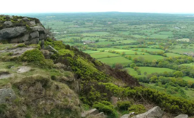
Cheeks Hill sits on Axe Edge Moor, on the western edge of the Peak District National Park, and is the county top of Staffordshire. The summit is open, featureless moorland rather than a distinct peak, but the surrounding landscape of small streams, old packhorse crossings and wide skies makes for rewarding walking. There are three circular routes from the same start, ranging from a very short stroll to a near five-mile circuit onto the hill itself.

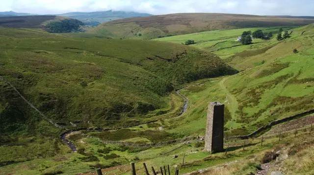
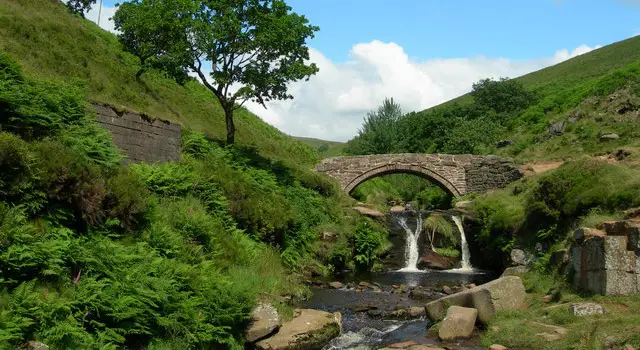
The two longer walks both visit Three Shire Heads, a well-loved spot where Derbyshire, Cheshire and Staffordshire meet beside Pannierspool Bridge and Panniers Pool. The pool is named after the packhorses that once used the bridges. Every route also passes the Danebower Colliery ventilation chimney, a stark landmark close to the young River Dane.

The shortest walk is a quick loop around the chimney and the river, the middle route follows the Dane to Three Shire Heads, and the longest climbs onto Cheeks Hill. For more walks like this, take a look at the Staffordshire Walks app.

Download the Staffordshire Walks App to follow these routes with real-time GPS navigation.

Download on the App Store Get it on Google Play

On a computer? Scan the QR code with your phone's camera to get the Staffordshire Walks app.

Cheeks Hill walk 01

Cheeks Hill Short Walk

Walk distance
½ miles
Time
30 mins
Route type
Circular

A very short moorland loop on Axe Edge Moor that takes in the old Danebower Colliery ventilation chimney and the River Dane close to its source. It suits anyone wanting a quick stroll and a look at the open Peak District landscape, with only a short, steady rise to deal with.

Cheeks Hill Short Walk No ratings yet Be the first - rate this walk in the Staffordshire Walks App

Cheeks Hill walk 02

Three Shire Heads Walk from Cheeks Hill

Walk distance
2¾ miles
Time
1.5 hours
Route type
Circular

A circular walk of just under three miles beside the young River Dane to Three Shire Heads, the meeting point of three counties. You cross the packhorse bridge by Panniers Pool, then return past the Danebower Colliery chimney on Axe Edge Moor. Expect a moderate climb and open moorland.

Three Shire Heads Walk from Cheeks Hill No ratings yet Be the first - rate this walk in the Staffordshire Walks App

Cheeks Hill walk 03

Cheeks Hill Walk to the Staffordshire County Top

Walk distance
5 miles
Time
2.5 hours
Route type
Circular

A near five-mile circuit on Axe Edge Moor that visits Cheeks Hill, the highest ground in Staffordshire. It also calls at Three Shire Heads and Panniers Pool, then returns past the old Danebower Colliery chimney. There are two climbs, the second one long and sustained, across open moorland.

Cheeks Hill Walk to the Staffordshire County Top No ratings yet Be the first - rate this walk in the Staffordshire Walks App

Navigate the walks

Staffordshire Walks App

Follow the Cheeks Hill walks with GPS guidance

It's like sat-nav, but for footpaths.

Choose a walk and follow the pointer showing your live position on the route map, so you always know you're on the right path.

The app works without a phone signal, so you can keep following the route wherever the walk takes you.

Download the app

Download on the App Store Get it on Google Play

On a computer? Scan the QR code with your phone's camera to get the Staffordshire Walks app.

Staffordshire Walks app showing the walker's live position on a route map

Designed to be simple

  • Choose a walk and follow the pointer
  • See your live position on the route map
  • Works without a phone signal
  • Includes 150+ Staffordshire walks
  • Free one-month trial
  • Available for iPhone and Android

Explore the area

Nearby walks

Explore the county

Staffordshire walks map

Map data © OpenStreetMap contributors

Search Staffordshire walks

See where the walks start, explore the area and tap a pin to find a route for your next adventure.

Search Staffordshire walks
Expanded route map for Cheeks Hill Short Walk, a 0.5 mile circular walk in Staffordshire